Last updated: June 18, 2021
Place
Ajo Mountain Drive Stop 11

NPS Photo/ Craig Stocks
Quick Facts
Location:
Mile 10.4 [km 16.7] along the Ajo Mountain Drive
Stop 11
Wintering in the High Country
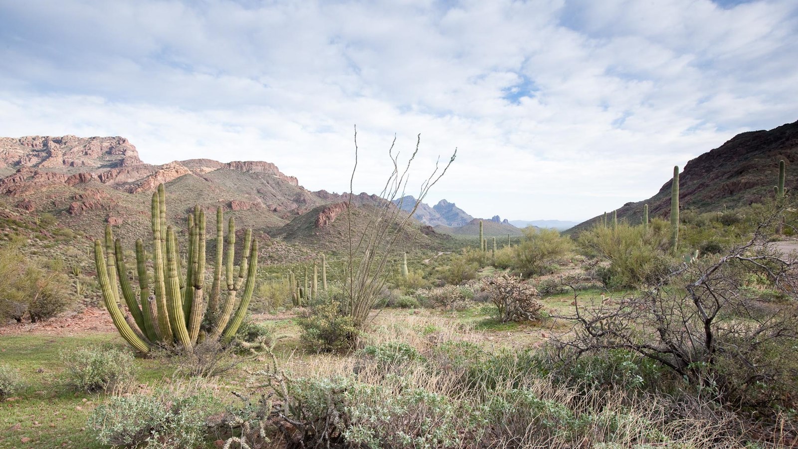
Another higher elevation plant that prospers in cooler weather is the agave, commonly called the century plant. It even grows on the highest peak in the monument, Mount Ajo, which is on your left and marks the boundary between the monument and the Tohono O’odham Nation. Archeologists have discovered agave-roasting pits in the high country of Organ Pipe Cactus National Monument. These pits are associated with the Hohokam who cultivated agave for ceremonial purposes. Why were the Hohokam at the top of the Ajo Range?
Archeologists believe that the Hohokam tradition was to move to the high country canyons after fall harvest in the valleys. Canyons, like Estes Canyon below and to your left, served as winter homes and watchmen were located at the tops of mountains to guard the community against raiders. The Tohono O’odham also used these canyons as winter homes. They were likely hunting mammals. These higher elevations also afforded a chance to catch more water. Snow and rain were more likely in the mountains. It is easy to imagine the people of the past making their way on foot up that steep rugged hill. The promise of water in dependable tinajas, natural catchments in the rock that hold rain water, were their only source of water for miles. The Hohokam and the Tohono O’odham adapted to the desert by moving biannually to find food and water. Their migratory routes were always associated with tinajas, springs or other water sources and are still visible in the monument today.
Ahead is Estes Canyon, the midpoint of the Ajo Mountain Drive. Here you will find a ramada with picnic tables and restrooms. A loop trail leads into Estes Canyon and then climbs onto a ridge. It returns down through the foothills back to the parking area. Halfway around the loop a short spur trail climbs to Bull Pasture, which early ranchers used for their cattle. From the Bull Pasture Viewpoint hikers have a stunning view of Mount Ajo, the highest peak in the monument at 4,808 feet (1466 m). The trail, including the spur, is a fairly rugged 4.1 miles (6.6 km) round trip, with a total elevation gain of 865 feet (224 m). Ask at the Kris Eggle Visitor Center for more information.
