Last updated: July 9, 2025
Place
‘Aimakapā Fishpond

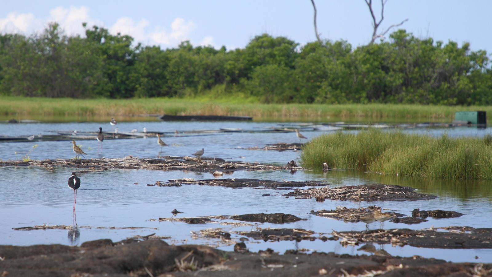
NPS Photo
Quick Facts
Location:
Kaloko-Honokōhau National Historical Park
Significance:
‘Aimakapā Fishpond is the largest natural pond and wetland system (~30 acres) on Hawaii Island’s Kona Coast
Designation:
National Historical Park
‘Aimakapā Fishpond is the largest natural pond and wetland system (~30 acres) on Hawaii Island’s Kona Coast. It is located at the makai (seaward) edge of the Honokōhau ahupua‘a (traditional land division). ‘Aimakapā Fishpond is a loko pu‘uone, a pond separated from the ocean by a sand berm that runs parallel to the sea. The pond formed naturally, and fresh water from springs mixes with seawater that enters through the channels during incoming tides. The ponds were modified by the native Hawaiians to hold and grow fish and was an active aquaculture pond until the 1950s.
To see a guide of birds that can be found at Kaloko-Honokōhau National Historical Park, see our Bird Identification Guide.
To see a guide of birds that can be found at Kaloko-Honokōhau National Historical Park, see our Bird Identification Guide.
