Last updated: April 2, 2026
Place
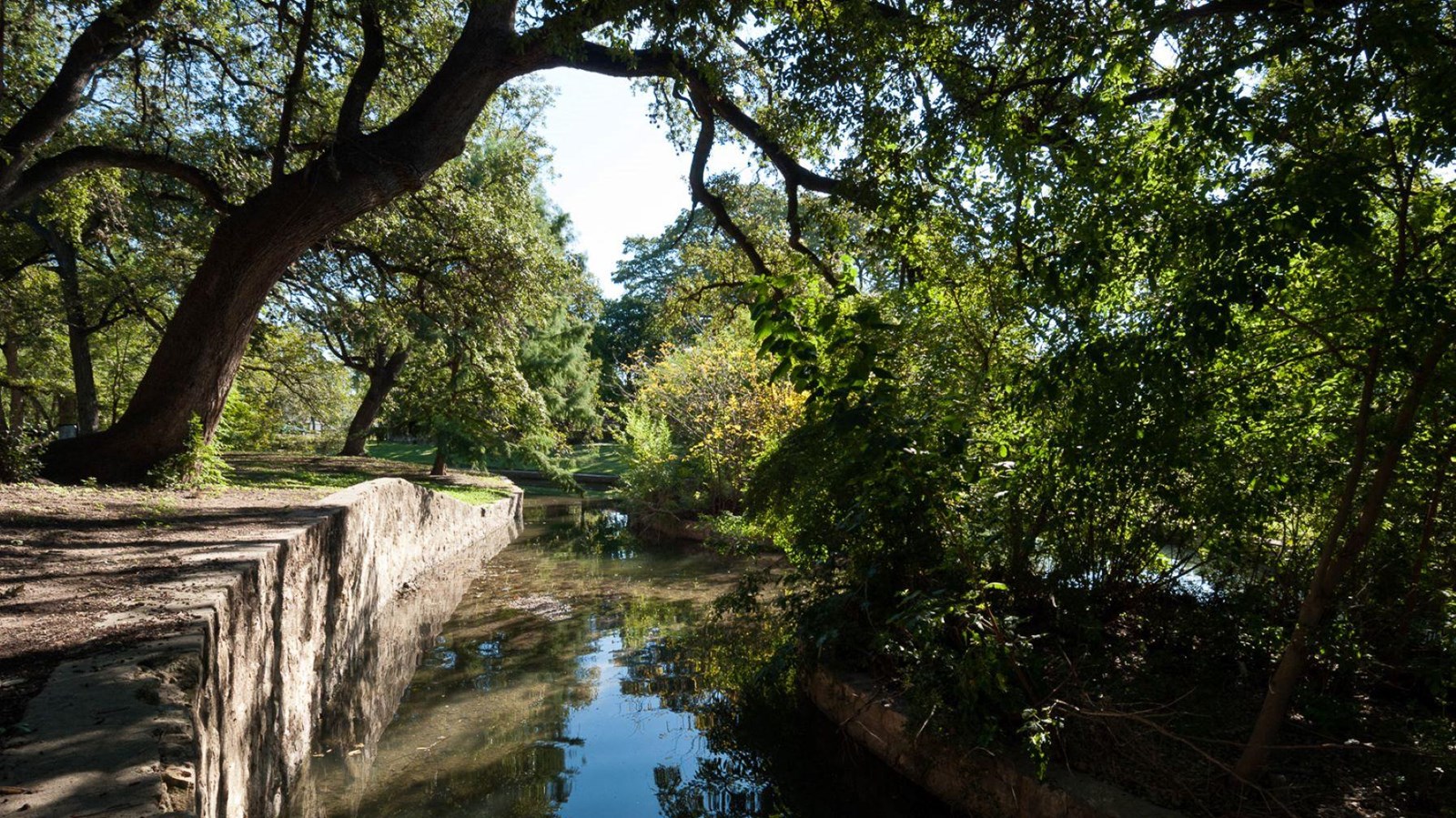
Acequia del Alamo Dam
Photo/Christopher Talbot
Quick Facts
Location:
Just north of the Witte Museum at 3801 Broadway Street, just south of Hildebrand, San Antonio, Texas
Significance:
Acequia technology, developed by Moorish inhabitants of Spain's driest regions, provides a concrete link between Spanish settlements in the Old and New Worlds. It allowed residents of what would become the American Southwest to farm widely and effectively.
Designation:
Certified Site, National Historic District (contributing property)
MANAGED BY:
Amenities
1 listed
Historical/Interpretive Information/Exhibits
Shortly after missionaries and colonists from Spain settled the town of San Antonio in 1718, they began work on a series of large-scale irrigation projects that would continue throughout the 18th century. Utilizing a North African irrigation method that had proven effective in Spain, they developed a series of acequias, a name derived from the Arabic word as-saqiy, meaning “the water conduit.” These complex systems of dams, floodgates, and irrigation ditches were dug entirely by hand and used gravity to send water over great distances, several miles in some cases.[1] The acequias allowed San Antonio to grow and prosper, setting it on the path to becoming the large and thriving city that it is today.
The oldest of these acequias was the Acequia Madre, also known as the Acequia del Alamo Dam. Construction of the dam began in 1719.[2] The Acequia Madre underwent continuous development until its closure in 1905; however, its earliest complete path was finished in 1720. Starting near the headwaters off the east bank of the San Antonio River, the acequia flowed down a winding path south through the fields owned by the Mission San Antonio de Valero, known today as “The Alamo,” eventually emptying back into the river around 3.5 miles south of its origin. Built of stacked limestone and measuring 12 feet deep and 18 feet wide, this acequia was a large and complicated infrastructure project. Yet, its waters only served the padres of Mission San Antonio de Valero, the mission’s Indigenous converts, and farmers who worked the mission grounds. It was not until 1731 that the newly built San Pedro Acequia began servicing the secular community of San Antonio, its construction due in large part to the increased demand for water brought by new arrivals from the Canary Islands.[3]
As San Antonio grew into one of the largest cities in colonial Texas, the government built more acequias. By the 1800s, over 50 miles of these irrigation canals snaked through the city’s streets and fields.[4] Remarkably, many of these ditches remained in use until the early 20th century, including the Acequia Madre. The mission lands it once served were turned over to secular ownership in 1793, and the acequia’s water was diverted to irrigate these private ranches. The Acequia Madre was connected to the central waterworks of the city in 1877. After frequent cholera outbreaks in the ensuing year, however, the acequia was permanently closed in 1905 and filled in with debris from street sweepings.[5]
Archeological work has helped historians better understand the acequias and their impact on the growth and development of San Antonio.[6] Since its closure, several sections of the canal have been restored to their original condition, including one stretch of the Acequia Madre near present-day Goliad Plaza.[7] The Acequia Madre alongside the other six historic acequias of San Antonio received National Historic Civil Engineering Landmark status in 1968 and are now preserved for their historic value. The path of the Acequia Madre runs parallel to modern Broadway near Brackenridge Park and Alamo Street just north of downtown San Antonio, and visitors to the city can walk along the historic route of this landmark civil work project.[8]
Site Information
Location (just north of the Witte Museum at 3801 Broadway Street, just south of Hildebrand, San Antonio, Texas)
More site information
El Camino Real de los Tejas National Historic Trail
[1] Texas Public Archaeology Network, “1719 Acequia Madre and the Alamo Dam,” History and Development of the Witte Museum, https://txpan.txst.edu/projects/history-of-the-witte-memorial-museum/1719-acequia-madre.html
[2] Mary Jo Galindo, Katie Hill, and Jacob L. Sullivan “intensive Archeological Survey and Monitoring of the Hemisfair Martinez Street Surface Parking lot Project and a Segment of the Acequia del Alamo/Acequia Madre,” Pape-Dawson Engineers, January 2017, https://www.sanantonio.gov/Portals/0/Files/HistoricPreservation/arc_reports/HemisFairMartinezS.pdf
[3] Kristi Miller Ulrich and Maria Watson Pfeiffer, “Intensive Survey and Testing Associated with the Rediscovery of the Acequia Madre and Alamo Dam, San Antonio, Bexar County, Texas,” Archaeological Report, No. 417 (San Antonio: The University of Texas at San Antonio, Center for Archaeological Research), 2011, 7-8.
[4] City of San Antonio, “Acequias,” Mission Trails Historic Sites, https://www.sanantonio.gov/Mission-Trails/Mission-Trails-Historic-Sites/Detail-Page/ArtMID/16185/ArticleID/4230/Acequias
[5] Ulrich and Pfeiffer, “Intensive Survey and Testing,” 11.
[6] City of San Antonio, “Acequias,” https://www.sanantonio.gov/Mission-Trails/Mission-Trails-Historic-Sites/Detail-Page/ArtMID/16185/ArticleID/4230/Acequias
[7] Historical Marker Database, “Acequia Madre de Valero,” https://www.hmdb.org/m.asp?m=195103
[8] Texas Public Archaeology Network, “1719 Acequia Madre,” https://txpan.txst.edu/projects/history-of-the-witte-memorial-museum/1719-acequia-madre.html