Last updated: April 17, 2024
Place
"A Natural Route" Wayside

NPS/Eric Grunwald
Quick Facts
Amenities
1 listed
Historical/Interpretive Information/Exhibits
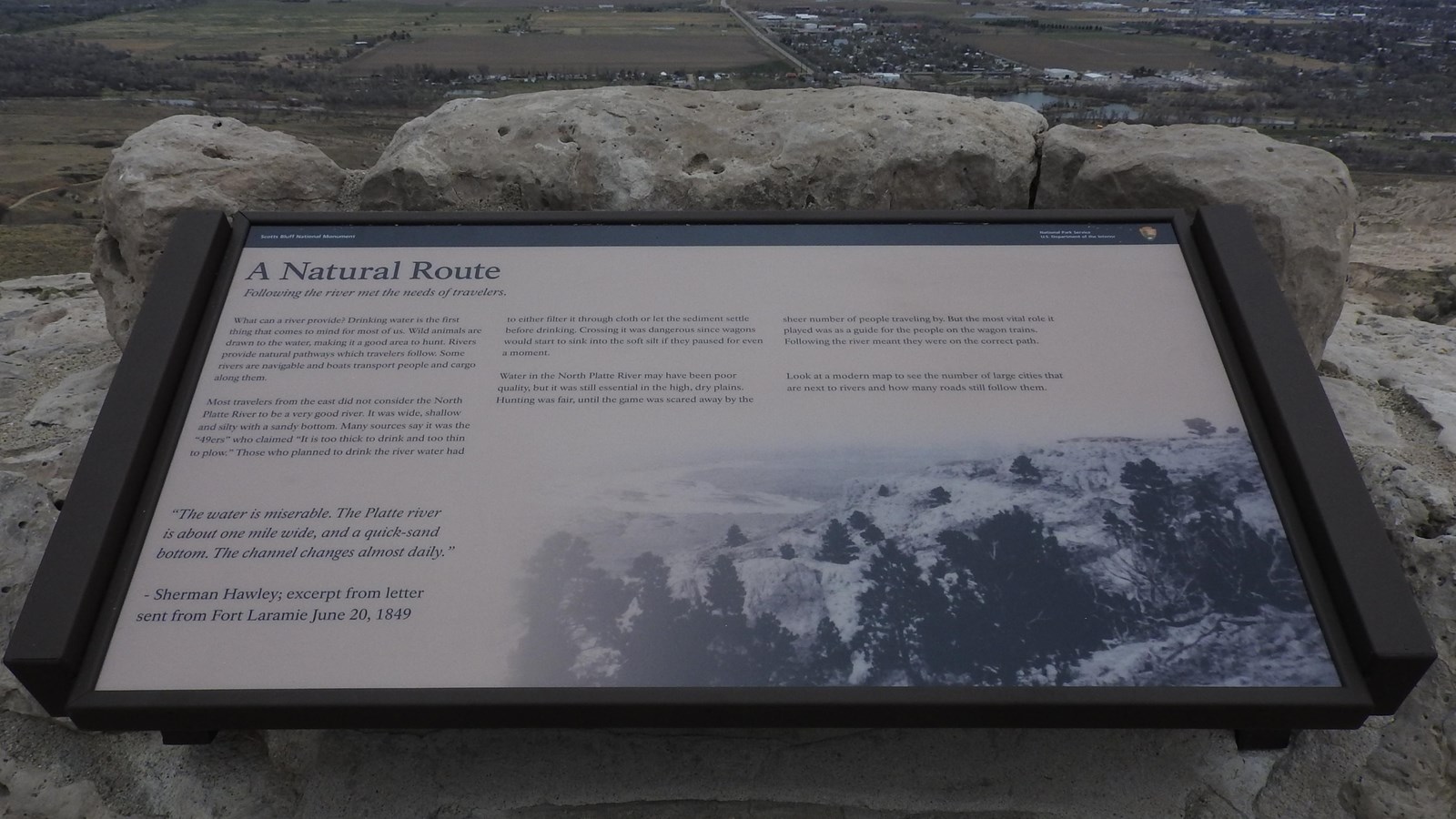
Description of Wayside: Low-profile wayside that is 42 x 24 inches. It has a brown rectangular base with two short rectangular pillars anchored into a stone wall supporting the wayside panel. The panel is framed in brown metal. The wayside is located at the far northern end of the North Overlook Trail overlooking the North Platte River.
Wayside Layout: At the top of the wayside is a thin black banner with white text. Aligned to the left is "Scotts Bluff National Monument". Aligned to the right is the text "National Park Service U.S. Department of the Interior," and finally the National Park Service arrowhead. The title of the wayside is below the black banner in large black font. The panel has a tan background. Black text is arranged in three columns on the upper half of the wayside. Below the text is a quote and a single image.
Wayside Title: A Natural Route
Text: Following the river met the needs of travelers.
What can a river provide? Drinking water is the first thing that comes to mind for most of us. Wild animals are drawn to the water, making it a good place to hunt. Rivers provide natural pathways which travelers follow. Some rivers are navigable and boats transport people and cargo along them.
Most people from the east did not consider the North Platte River to be a very good river. It was wide, shallow and silty with a sandy bottom. Many sources say it was the “49ers” who claimed “It is too thick to drink and too thin to plow.” Those who planned to drink the river water had to either filter it through cloth or allow the sediment to settle before drinking. Crossing it was dangerous since wagons would start to sink into the soft silt if they paused for even a moment.
Water in the North Platte River may have been poor quality, but it was essential in the high, dry plains. Hunting was fair until the game was scared away by the sheer number of people traveling by. But the most vital role it played was as a guide for the people on the wagon trains. Following the river meant that they were on the correct path.
Look at a modern map to see the number of large cities that are next to rivers and how many roads still follow them.
Quote: “The water is miserable. The Platte River is about one mile wide, and a quick-sand bottom. The channel changes almost daily.”
-Sherman Hawley; excerpt from letter sent from Fort Laramie June 20, 1849
Image: A black and white photograph of a bluff covered with scattered pines and sandy, shallow river below.
