Last updated: November 17, 2021
Place
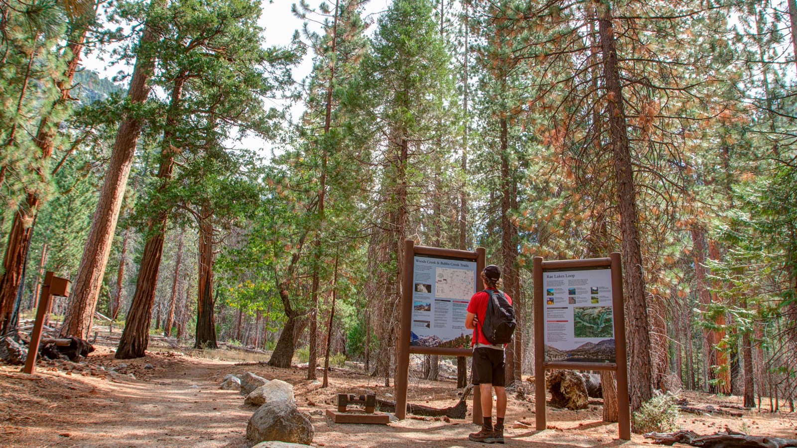
Woods Creek, Bubbs Creek, Rae Lakes Loop Trailhead
Kirke Wrench
Quick Facts
Location:
Road's End trailhead area, Kings Canyon National Park
Amenities
12 listed
Audio Description, Information, Information - Ranger/Staff Member Present, Information Kiosk/Bulletin Board, Parking - Auto, Parking - Bus/RV, Permits Issued, Restroom - Accessible, Toilet - Vault/Composting, Trailhead, Trash/Litter Receptacles, Water - Drinking/Potable
This trailhead orientation panel shows a map and images of the area around Woods Creek, Bubbs Creek, and Rae Lakes Loop trails.
Rae Lakes Loop is a 42 mile (67.6 km) backpacking loop at a difficult incline, featuring canyon views, high alpine lakes, and stunning vistas.
Bubb's Creek Trail is a 12.3 mile (19.8 km) trail starting at a steep, then steady, incline. The first campsite is after 4 miles (6.4 km) at Sphinx Creek Junction.
Woods Creek Trail is a 11.2 mile (18 km) trail with a moderate incline. This trail offers beautiful views, rivers, and alpine lakes, but can be crowded. The first campsite is at Paradise Valley after 6.5 miles (10.4 km).
Wilderness permits for these trails are only issued from the Road's End Permit Station.