Last updated: April 17, 2023
Place
What Edible Treats Pass by These Bluffs?

Will Elder
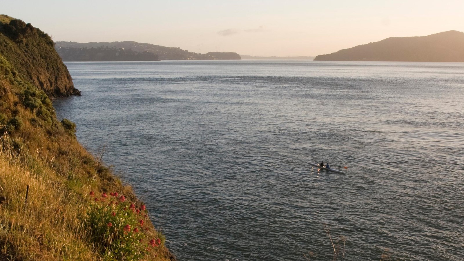
You are looking at the interface of one of the world's major estuaries and the sea, affecting the area in many ways, providing a rich abundance of sea life, strong ocean currents, and cooling wind and fog.
This cliff is the rim of the drowned Sacramento River Canyon. Even today, salmon swimming up the Sacramento River drainage follow the old river channel at the base of this bluff rather than venturing into more southern parts of the bay. Salmon aren't the only tasty migrants here. Dungeness crabs migrate from the ocean to the bay to lay their eggs. The young crabs settle and feed in Horseshoe Bay.
The volume of the immense San Francisco Bay estuary is so great that the tidal flow going in and out of the Golden Gate is twice the flow of the Mississippi River. Under the Golden Gate Bridge, strong tidal currents scour a 375-foot-deep channel all the way down to bedrock.
The climate also is affected by this land-sea interface. Cold ocean air and warmer landward air meet at the Golden Gate to create the fog that frequently shrouds the bay. Microclimates are typical of these coastal areas, and Fort Baker is lucky to be in a fog shadow formed by the high ridge to the west.
