Last updated: May 21, 2024
Place
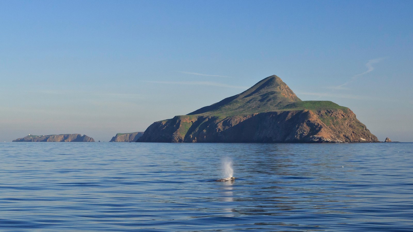
West Anacapa Island — luqtikay

Tim Hauf, timhaufphotography.com
luqtikay is the Chumash word for West Anacapa Island. Chumash elder Fernando Librado said, "the high island of Anacapa has a cloud touching the top of it. When the Cruzeño saw that, not one would venture out in his canoe. If the cloud on top of island was foggy, it meant wind. If it was a rain cloud, it meant rain." It’s possible that -tikay-, meaning 'to hide something,' is the root of this word, referring to the clouds which collect on the peak.
Please see "Ethnographic Island Place Names" below for more information on island place names.
Except for the beach at Frenchy's Cove, West Anacapa is designated as a Research Natural Area and is closed to the public in order to protect nesting California brown pelicans.
Anacapa Island, the other Channel Islands, and all their associated islets and offshore rocks comprise one of the largest breeding centers on the west coast for sea birds and shore birds. Their isolation and freedom from predators and human disturbance, and the abundance of food in the cold, nutrient-rich ocean waters, make them an ideal place for marine birds to breed and rear their young.
On the north slopes of West Anacapa, California brown pelicans typically nest and raise their young from January through October. In fact, West Anacapa has the largest and most consistently used brown pelican nesting colony on the West Coast of the United States. Brown pelicans will abandon their nests if disturbed, leaving the eggs and chicks defenseless against predators such as gulls and ravens. A serious disturbance can cause an entire colony to be abandoned. For this reason Anacapa's isolation is a critical factor in the successful nesting of these seabirds.
But even the island's isolation could not protect California brown pelicans from human impacts. The gathering of eggs, disturbance of rookeries, and pesticides have all been detrimental. The pesticide DDT nearly caused the pelican to become extinct as a breeding species on the west coast of the United States. In 1970, on neighboring Anacapa Island, only 552 nesting attempts were made with just one chick surviving. On October 13, 1970, the brown pelican was listed as an endangered species.
Today, the recovery of the California brown pelican and other seabird species continues as their isolated island home is ensured protection within Channel Islands National Park. Through monitoring and restoration programs, the park and its partners are working to conserve critical nesting habitat and to protect the integrity of island and marine ecosystems that support 90 percent of the seabird populations in southern California.
Ethnographic Island Place Names
Ethnographic island place names aid in native language revitalization, illustrate cultural values, and provide tangible connections to cultural landscapes and seascapes.
Many of these place names were recorded by ethnographers and anthropologists in the late 1800 and early 1900s. J.P. Harrington was an ethnographer who worked for the Smithsonian Institution in Washington, D.C., from 1915 to 1955. He interviewed American Indian consultants, including Chumash and Gabrielino Tribal members, and recorded information about native languages and culture.
Chumash Indians Fernando Librado (Kitsepawit) and Juan Estevan Pico were the main sources for island place names. They were both born and raised in Ventura. They learned of the island places from Chumash elders, most notably Ursula (of wima) and Martina (of limuw.) Pico's interviews of Martina resulted in a list of island place names given in order from east to west (or vice/versa,) to anthropologist, H.W. Henshaw. Anthropologists have cross-referenced Pico's list with the archeological record, baptismals, and marriage patterns.
Twenty-six new place names were recently identified and mapped by Matthew Vestuto (Barbareño/Ventureño Band of Mission Indians; Advocates for Indigenous California Language Survival) with assistance from Kristin Hoppa (Archeologist, Channel Islands National Park) and the Chumash community. These names reference island peaks, water, landforms, islets, trails, caves, and beaches.
Please note that lowercase is used because capitalization is a convention in English which poses problems in the writing of native languages.
