Last updated: May 10, 2021
Place
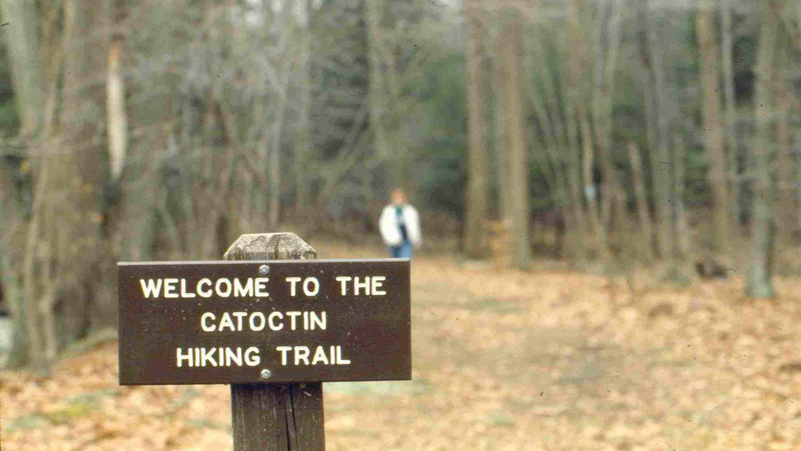
Trailhead: Catoctin National Recreation Trail

NPS Photo
Quick Facts
Amenities
1 listed
Trailhead
This trail is marked by a blue blaze with 4.75 miles within the boundaries of the park.
The north trailhead is in Catoctin Mountatin Park and lies within three miles of the Appalachian National Scenic Trail. Along its route the trail crosses a State Scenic Byway and parallels the Catoctin Mountain National Scenic Byway. There are historic districts (Camp Greentop and Camp Misty Mount) as well as historic and prehistoric archeological resources along the trail, including Indian flint napping sites and Colonial era charcoal hearths. In addition to skirting several lakes, the trail also accessess numerous scenic vistas with views of the Monocacy River Valley. The entire trail runs for 26 miles, connecting Catoctin Mountain Park, Cunningham Falls State Park, Frederick City Municipal Forest, and Gambrill State Park.
The north trailhead is in Catoctin Mountatin Park and lies within three miles of the Appalachian National Scenic Trail. Along its route the trail crosses a State Scenic Byway and parallels the Catoctin Mountain National Scenic Byway. There are historic districts (Camp Greentop and Camp Misty Mount) as well as historic and prehistoric archeological resources along the trail, including Indian flint napping sites and Colonial era charcoal hearths. In addition to skirting several lakes, the trail also accessess numerous scenic vistas with views of the Monocacy River Valley. The entire trail runs for 26 miles, connecting Catoctin Mountain Park, Cunningham Falls State Park, Frederick City Municipal Forest, and Gambrill State Park.
