Last updated: September 24, 2025
Place
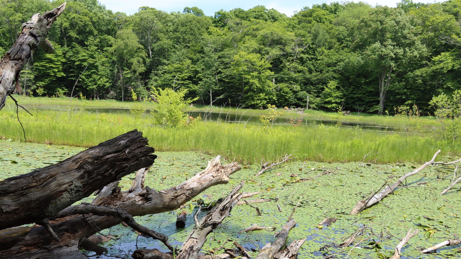
Taylor Lake
NPS Photo/ D. Newman
Quick Facts
Location:
GPS Coordinates 44.8003,-86.04173
Amenities
1 listed
Beach/Water Access
| Taylor Lake is a small depression located approximately one-quarter mile east of Hwy M-22 and about one-eight of a mile north of Stormer Road. The lake is only accessible by hiking through woods and does not have restrooms, boat launch or fishing dock. Taylor is not accessible by road and closed to the use of power-driven vessels. Average depth of the lake is 6 ½ feet. Water is largely supplied by surface runoff, with no evident of surface inlets or outlet. There is a floating mat that rings the open water area. The floating mat includes such aquatic plants as, water-shield, common duckweed, variegated yellow pond lily, white water lily, water smartweed, and floating pondweed.The lake does not have a fish population, probably because it is a very shallow and the lake level can fluctuate throughout the season. |