Last updated: January 11, 2024
Place
Tanner Trail
NPS
Quick Facts
Location:
Desert View Drive
Amenities
2 listed
Information, Trailhead
This historic trail is the primary access for hikers into eastern Grand Canyon. It ranks as one of the most difficult and demanding developed trails in the park.
The Tanner Trail is steep, rarely maintained, and not a recommended first hike into the canyon. The only source of water is at the Colorado River. In general, Grand Canyon is infamous for summer heat and the Tanner Trail is noted for being unusually hot.
The summer sun rises early and sets late in this wide-open area. The absence of water produces sparse vegetation and little shade. River runners call this part of the Grand Canyon "Furnace Flats".
Avoid this trail during warm/hot weather over 95°F (35°C).
Trail Description
Strongly consider talking with a park ranger before attempting this hike.
The trail is steep and no water is available until the river. Expect to hike and climb over unstable footpaths and boulder fields. Your best option for a day hike would be to the 75 Mile Creek Saddle. To reach just this point, be prepared for 1.6 miles (2.6 km) over a descent of 1,700 feet (518 m). Hiking beyond the 75 Mile Creek Saddle is exposed and can be extremely hot.
There are no water sources along the trail until the Colorado River, a 9 mile trek (14.5 km) and elevation change of 4,650 feet (1,417 m) each way. The elevation at Lipan Point is 7,350 feet (2,240 m) and at the Colorado River it is 2,700 feet (823 m). However, the Colorado is often silt laden and can be difficult and time-consuming to purify.
If you choose to hike down what remains of a pioneer-era trail, you will head immediately down the gully east of Lipan Point. The upper section of the Tanner Trail is narrow, badly eroded, and can be difficult to follow, especially after a storm. The trail stays on the slopes east of the bottom of the gully through the Toroweap Formation and switches to the west side at the top of the Coconino Sandstone. Rockslides in the Coconino Sandstone have covered the original trail in places, forcing hikers to improvise short sections. The trail descends steeply across the slope west of the bed of gully nearly all the way to the 75 Mile Creek Saddle. A prime canyon view at the saddle is the reward for a couple of miles of notably unstable hiking. The reward comes with a price - hiking out of the canyon from even here is one of the more rugged, steeper climbs in the park.
Hiking beyond this point requires detailed planning and experience hiking in a desert environment.
Water
The Colorado River is the sole source of water. No reliable water exists above the shoreline. The Colorado is often silt laden and can be difficult to purify under those conditions.
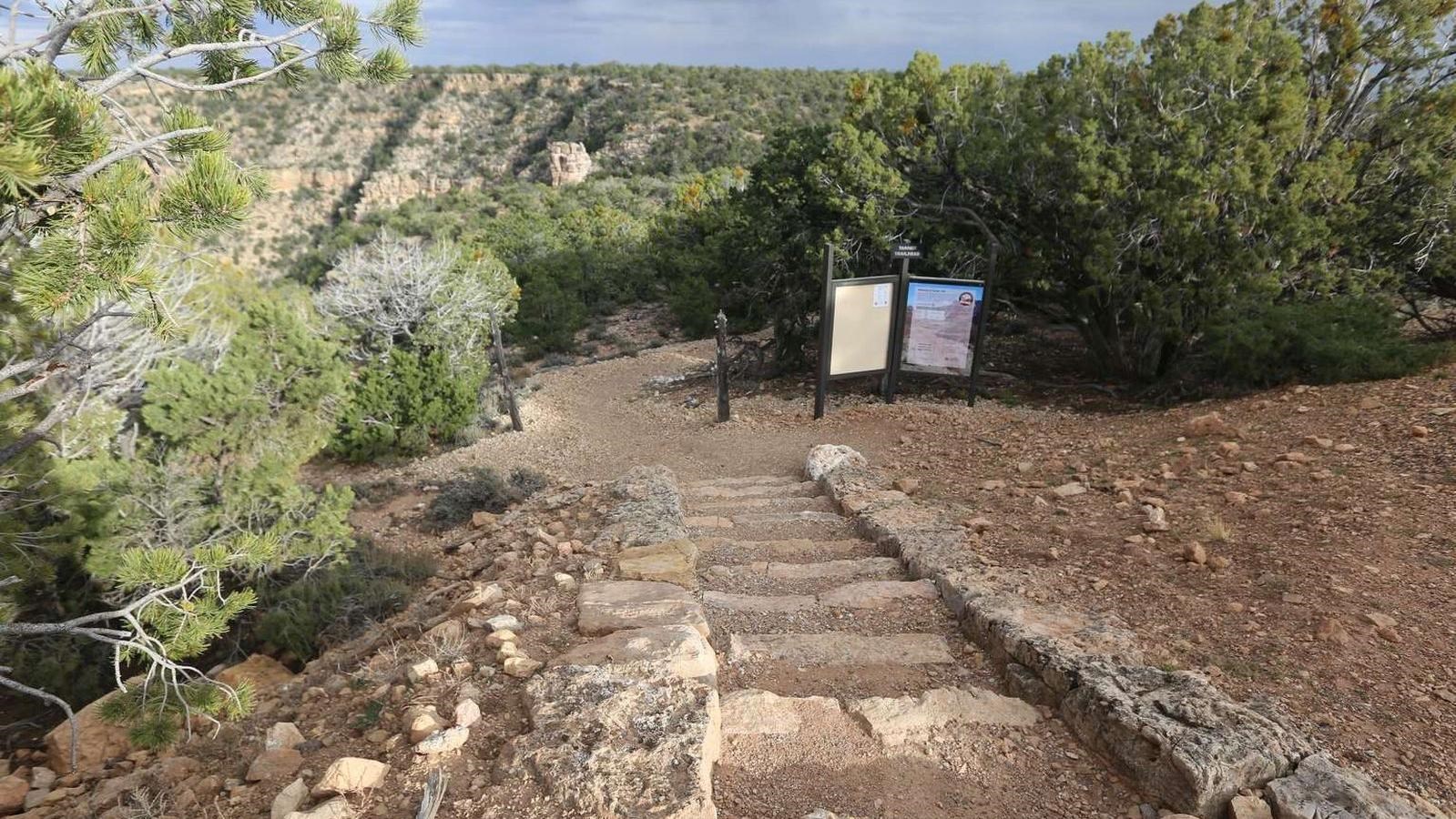
Access
Parking is available at Lipan Point. Walk back down the road a short ways and look for the trailhead, east of the pavement.
It is 9 miles (14.5 km) from Lipan Point at 7,350 feet (2,240 m) to the Colorado River down at 2,700 feet (823 m). All water should be treated or boiled. However, the Colorado is often silt laden and can be difficult to purify.
Hike Smart
Make a Plan
Once you have researched your trip and are confident in what to expect on the trail, communicate your plan to someone who will notice if you are overdue and report it to 911.
Check the Weather
Summer temperatures in the shade routinely pass 100°F (38°C). Avoid hiking between 10 am and 4 pm, the hottest times of day.
From July to September, monsoons can build large, violent lightning storms. Seek shelter immediately.
In winter and early spring, temperatures can drop below 32°F (0°C) and upper portions of this steep trail become dangerously icy. Hard ice often conceals potentially hazardous passages. Over-the-shoe traction devices are highly recommended.
Pack Properly
It is critical to determine before your hike your needs for fluids and for snacks high in calories and salts. Consuming twice as many calories as during normal exercise is realistic for summer canyon hikes. The hike out of the canyon will likely take twice as long as the hike down. Wearing sun hats and cool, wet clothing will help regulate your core body temperature during warmer hikes.
Energy Balance
Your body needs energy-balancing proper nutrition and hydration are critical to your hiking success! Eat and drink while resting-sip fluids only when thirsty.
Too little water leads to dehydration and heat stroke. Excessive hydration and insufficient salt intake causes hyponatremia, a seizure-producing electrolyte disorder. If you do not feel well: seek shade, get wet, cool off, eat, and rest. Turning around may be your best option.
Geology
The lower reaches of Grand Canyon below Desert View are dominated by a series of tilted layers of stone known as the Grand Canyon Supergroup. The Supergroup is a complex collection of ancient sedimentary and igneous rocks ranging in age from 729 million to 1.255 billion years, the oldest sedimentary deposits in the canyon. The colorful rocks are soft and easily eroded so the canyon floor is unusually expansive, offering unimpeded views of some of the steepest walls to be found below the rim.
History
American Indians used this natural rim-to-river route for several thousand years. The trail as we know it today has been in use since 1890, when Franklin French and Seth Tanner improved it. This work allowed early miners access to their claims; it was also used as the southern component of the disreputable Horsethief Route.
Camping
A permit is required for backcountry camping in this area. Learn about how to apply for a permit on the park website or request permit in person at the Backcountry Information Center.
As part of conservation efforts to salvage plant and animal habitats that depend upon remnants of older pre-dam sediments near the Colorado River, the large sand dune at the mouth of Tanner Canyon is closed to visitation and camping. Tanner Canyon use area (BB9) is the only exception , allowing "at-large" camping. There are nice (although dry) established campsites along the trail at Seventyfive Mile Creek-Tanner Canyon saddle, trailside in the Supai Formation, above and below the Redwall Limestone, and in the Tapeats Sandstone. Campsites near the Colorado River can be found on the east side of Tanner Canyon. A composting toilet is nearby.
Suggested Maps
7.5 Minute Desert View Quad (USGS)
Trails Illustrated Map, Grand Canyon National Park (National Geographic)
Sky Terrain Trails Map, Grand Canyon (Sky Terrain)