Last updated: September 25, 2025
Place
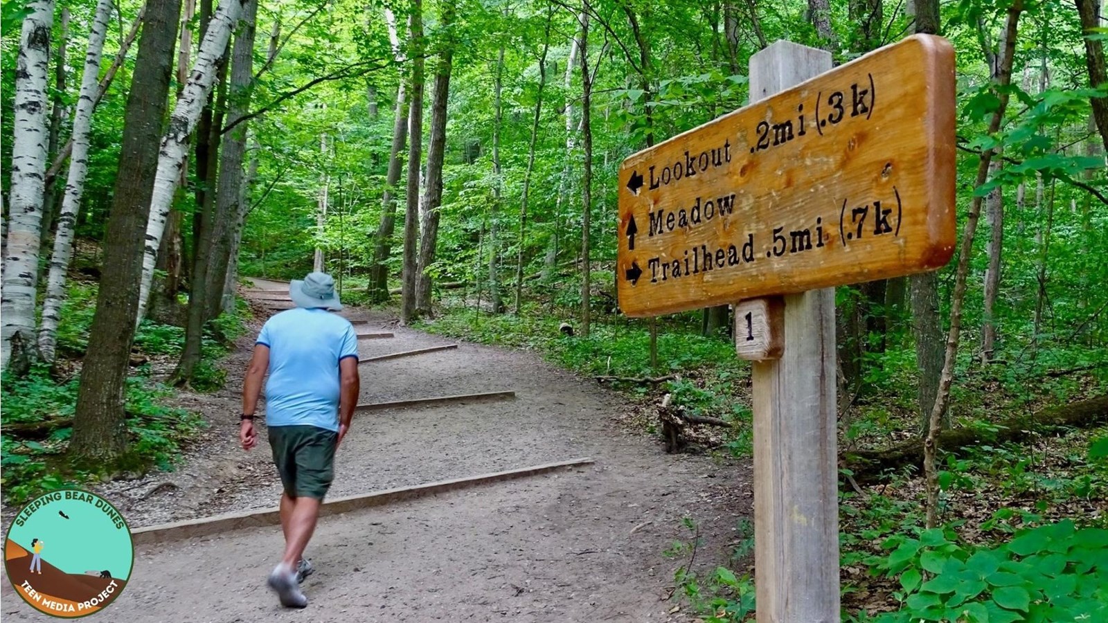
Pyramid Point Trail
NPS photo / I. Conran
Quick Facts
Location:
GPS Coordinates: 44.9622,-85.9299
Amenities
2 listed
Toilet - Vault/Composting, Trailhead
Distance
Loop 2.7 miles long. With a spur to a lookout point high over Lake Michigan. Lookout point is about 0.6 miles from the trailhead
Terrain
Hilly
Vegetation
Beech-maple forest, fields and pine plantation
Comments
Trail leads to a lookout at the top of Pyramid Point. To protect the bluff from erosion and for your safety, do not descend the bluff. Note that the last portion of the trail Basch Road. Watch for traffic.
A vault toilet is available at the trailhead.
More details
In an area of the state known for its stunning panoramas of sand dunes, islands, and the many blues of Lake Michigan, Pyramid Point is one of the best. The 2.6-mile trail traverses three diverse landscapes: old farm fields and meadows, century-old beech-maple forests, and the high bluffs overlooking the lake.
Hike 0.6 miles to the overlook and take in the awe inspiring views of Lake Michigan, the Manitou Islands, and sometimes a Great Lakes freighter. Find the North Manitou Shoal Light-or "the Crib"- protecting the passage from a dangerous shoal. It often looks like a large white sail on the lake. Varying depths and shoals create beautiful shades of blues and greens in Lake Michigan. The hike up to the point is fairly easy and appropriate for all ages.
Going down the steep dune to the water's edge is not advised. It's farther down than it looks (you can't actually see the bottom from the top).
Most people hike to the the lookout for the view and then return, a 1.2-mile round trip. Continue on the trail and you'll find yourself off the beaten path. Explore the length of this trail and you will be rewarded with gorgeous views, large sand bowls to wander through, meadows of wildflowers, and shaded, leafy forests. You'll often have the trail to yourself. The last 0.4 miles of the loop follows Basch Road, a quiet dirt road.
There is a connector trail between posts, numbered 2 and 3. This connector shortens the trail to 2 miles. At the end, be careful on Basch Road as you return to the trailhead.
Hike Safely
Are you prepared to hike in the Lakeshore? Follow these safety tips.
Take the Trail Trekker Challenge
Do you think you can hike all of the trails in one year? Want to explore the landscape of Sleeping Bear Dunes National Lakeshore, exercise, and have fun all at the same time? Join the Trail Trekker Challenge! Earn a prize and bragging rights by successfully completing each of the 13 mainland trails in the National Lakeshore. Hiking is a great way to get daily physical exercise and promote health while also discovering the beauty of the area. What better way to get your muscles warm, your heart pumping, and your senses savoring the views!
Pick up a copy of the Trail Trekker Challenge brochure/logbook at the visitor center in Empire.