Last updated: February 28, 2025
Place
Piscataway Park

NPS/Cindy LaBarge
Canoe/Kayak/Small Boat Launch, Historical/Interpretive Information/Exhibits, Picnic Table, Scenic View/Photo Spot
This landscape, the Piscataway homeland, was the site of the political center of the Piscataway chiefdom, a large Indian village that was able to sustain itself on the natural riches of the Potomac, nearby game, and agriculture. When Captain John Smith first mapped the area in 1608, the Piscataway chiefdom spread throughout southern Maryland and included a number of semi-independent nations.
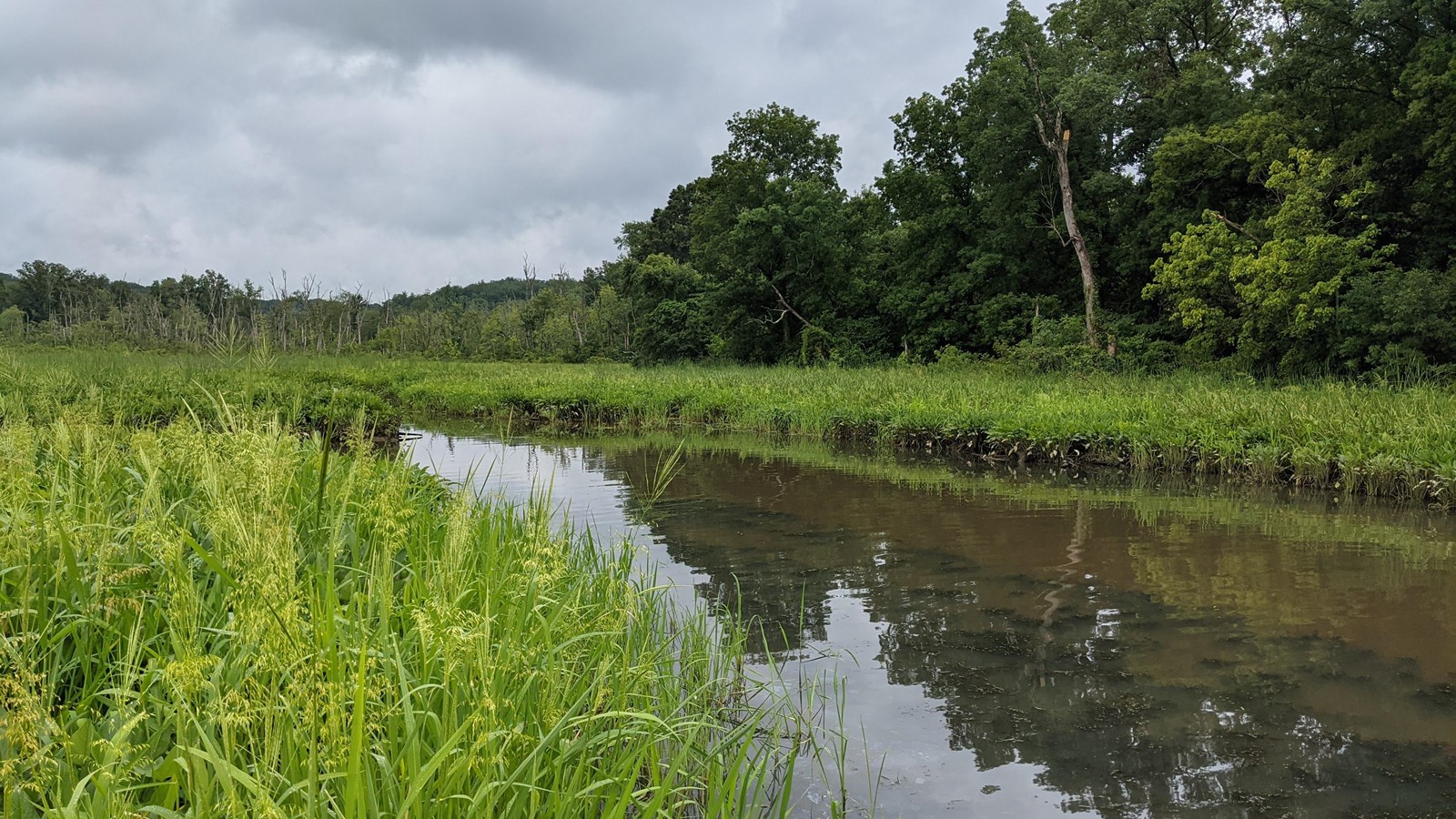
Piscataway Park is home to bald eagles, beavers, deer, foxes, ospreys, and many other species. To complement the surroundings, the park has, in addition to a public fishing pier and two boardwalks over fresh water tidal wetlands, a variety of nature trails, meadows, and woodland areas. The park is also home to National Colonial Farm.
