Last updated: September 2, 2025
Place
Ostrander Lake Trailhead
Quick Facts
Amenities
2 listed
Animal-Safe Food Storage, Trailhead
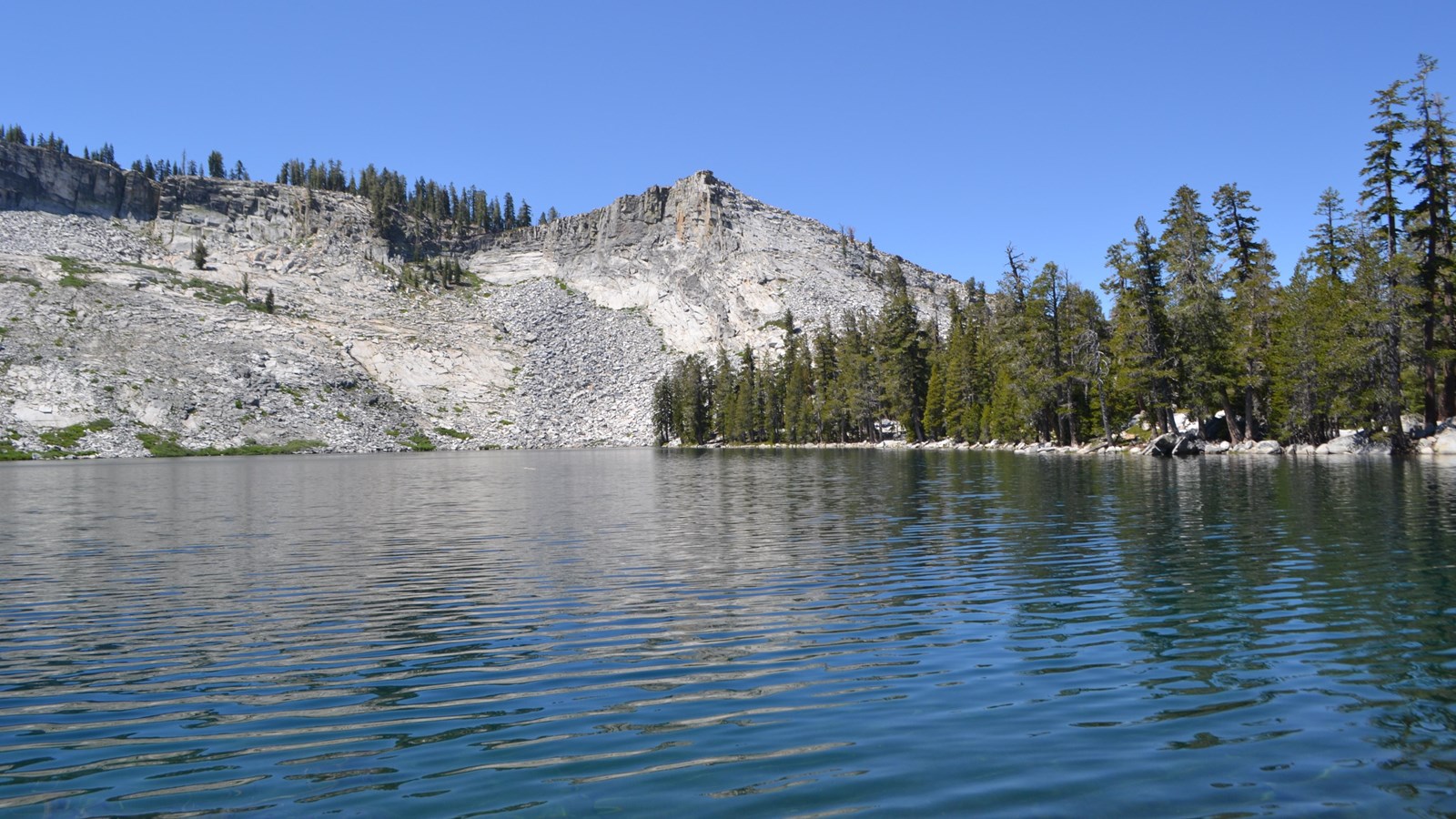
The first half of this hike gently inclines through forest and meadow where you can observe severe scars and regrowth from a 1987 lodgepole pine forest fire. A steep climb toward the end of the hike opens up to views of granite domes, Mt. Starr King, and the Clark Range just prior to arriving at Ostrander Lake.
Distance: 12 miles (19.3 km) round-trip
Elevation gain: 1,500 ft (450 m) elevation gain
Time estimate: 8-10 hours
Tips & Seasonal Information
Pets and bicycles are not allowed on hiking trails. A vault toilet is available at the trailhead.
This trailhead is only reachable by car when Glacier Point Road is open, which is typically from approximately late May through October or November. Overnight parking is prohibited beginning October 15. For current road and weather information, call 209/372-0200 (press 1, then 1).
In winter, when Badger Pass Ski Area is open (typically mid to late December through March), the Glacier Point Road is groomed for cross-country skiing beyond the ski area, conditions permitting. See website for more information.