Last updated: November 7, 2021
Place
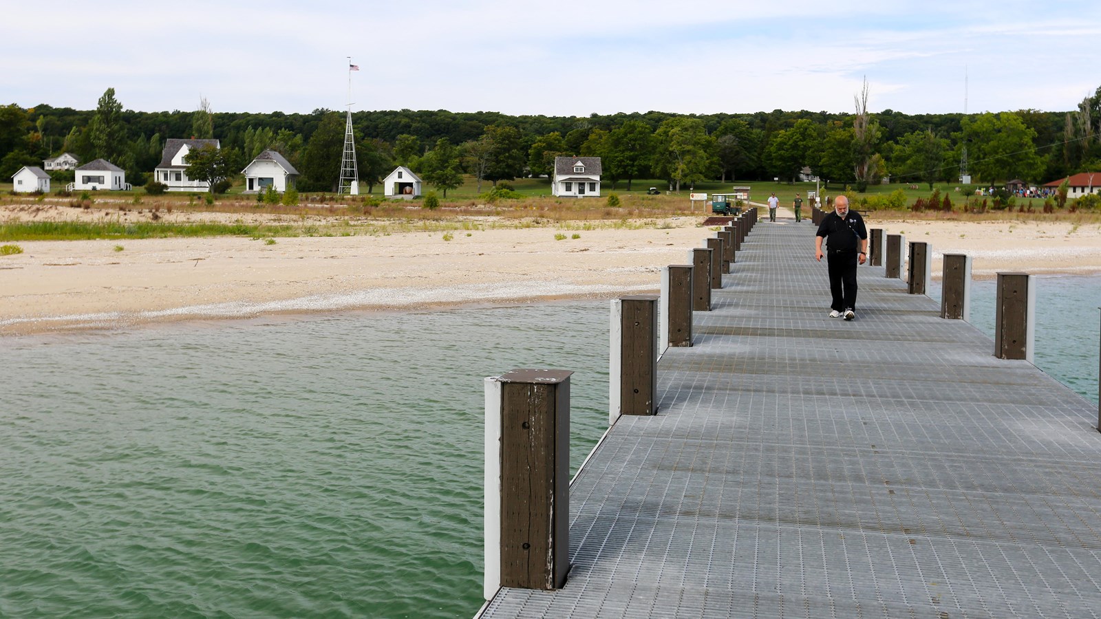
North Manitou Island Dock

NPS credit
Beach/Water Access, Dock/Pier, Ferry - Passenger
As you get off the ferry, you can see the U.S. Coast Guard Station and Cottage Row, the old roads that traverse landscape logged and farmed, abandoned orchards, rusted cars and equipment, crumbling farmhouses, cottages, and barns-striking and enigmatic traces of human habitation nestled within a spectacular wilderness setting.
The second-largest island in a fourteen island-archipelago in northeastern Lake Michigan, North Manitou is approximately five miles wide at its greatest breadth and seven miles long, its landscape made up of rolling hills, steep bluffs and sand dunes, two inland lakes, fragile wetland habitats, and thousands of acres of deciduous forests of maple, beech, white birch, and black cherry.
As one descendent of former island residents described visiting the island: "when you got on the island, you could see the mainland...but we didn't care anymore...you didn't listen to the radio, you didn't read the newspaper...the whole United States could drop off...there we were in that little enclave."
