Last updated: June 3, 2024
Place
Moro Rock Trailhead

Bus/Shuttle Stop, Historical/Interpretive Information/Exhibits, Recycling, Restroom, Trailhead, Trash/Litter Receptacles
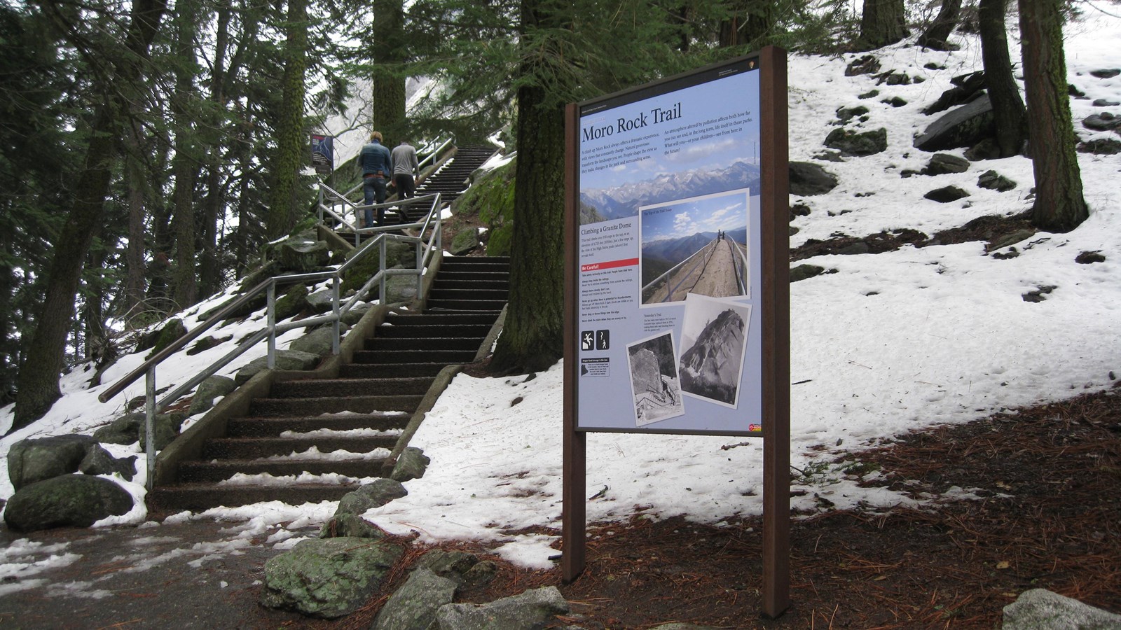
Welcome to one of the most popular and spectacular hikes in these parks. To reach the top of this granite dome, take the stairway that climbs up 300 feet (.09 km) to the 6,275 ft (2,050 km) summit.
At the top is a spectacular 360° view from the Great Western Divide to the east around to the western half of Sequoia National Park. Consider summiting Moro Rock at dawn or before dusk. It offers a huge expanse of night sky, a rare view in forested parts of the parks. One of the best places in the parks to see sunset and moonrise.
Moro Rock is one of several granite domes in these parks. These domes formed millions of years ago when magma beneath the surface cooled into granite. Since erosion removed the layers of softer rock that were above them, they have been rebounding and lifting a tiny bit each year.
In summer, free park shuttles at the Giant Forest Museum will drop you off at this parking area. This parking area is two miles (3.2 km) from the Generals Highway.
Safety
Take your time; unless you are used to this elevation this walk can be challenging. Moro Rock is also prone to lightning strikes. If there is any evidence of an approaching storm, get off the rock quickly but safely.
Winter Access
To access the base of this trail in winter, you will need to hike, snowshoe, or ski into the area. In winter, the staircase is typically not safe to ascend. Don't climb the stairs if any ice or snow is present; it is very dangerous.
