Last updated: September 3, 2025
Place
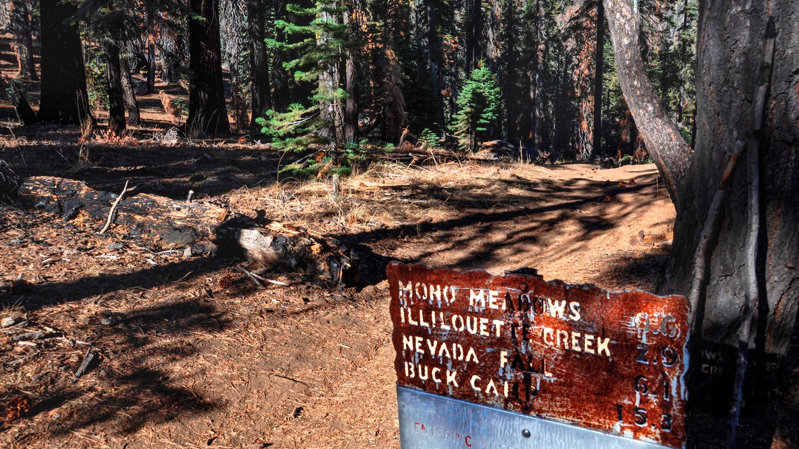
Mono Meadow Trailhead
Quick Facts
Amenities
2 listed
Animal-Safe Food Storage, Trailhead
Enjoy magnificent views of the Clark Range, Mount Starr King, and Half Dome from this trail. The trail descends steeply to Mono Meadow. Follow the trail from the east end of the meadow for a half mile (0.8 km) to an unmarked clearing. From here, the views will open up to the Clark Range and beyond.
Distance: 3 miles (4.8 km) round-trip
Elevation gain: 900 ft (275 m) on return
Time estimate: 2-3 hours
Tips & Seasonal information
This area is very wet throughout summer. Expect log crossings over creeks and lots of mud. Stay on trail and go through mud puddles rather than around them to prevent trail widening and protect this ecosystem.
This trailhead is only reachable by car when Glacier Point Road is open, which is typically from approximately late May through October or November. Overnight parking is prohibited beginning October 15. For current road and weather information, call 209/372-0200 (press 1, then 1).