Last updated: September 3, 2025
Place
McGurk Meadow Trailhead
Quick Facts
Amenities
2 listed
Animal-Safe Food Storage, Trailhead
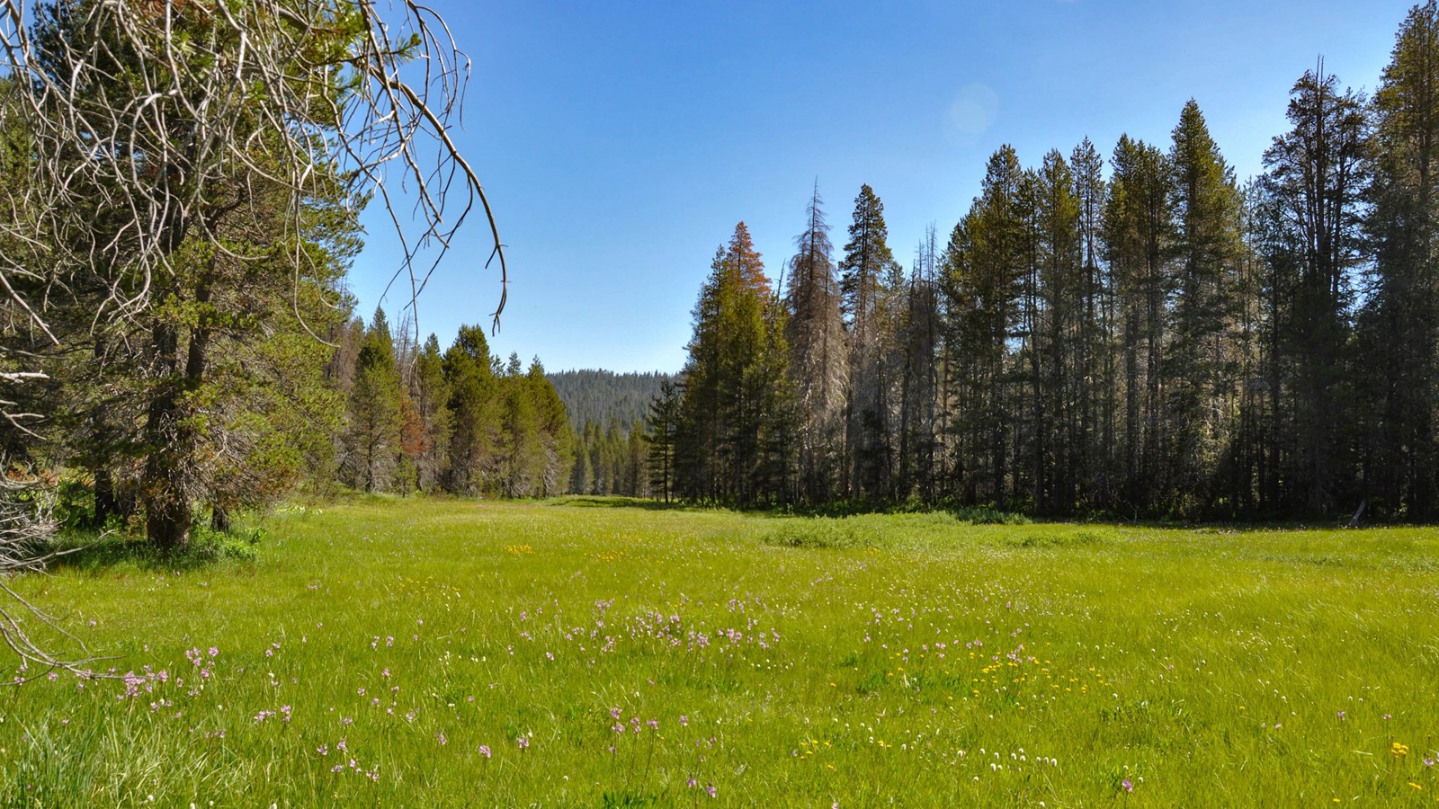
McGurk Meadow
The trail leads downhill to McGurk Meadow and the site of an old cabin that belonged to sheepherder John McGurk. During early summer, look for a tremendous show of wildflowers.
Distance: 1.6 miles (2.5 km) round-trip
Elevation gain: 150 ft (45 m) on return
Time estimate: 1-1.5 hours
Dewey Point
Past the meadow, hikers can continue along the trail an additional mile (1.6 km) to reach the junction with the Pohono Trail. Turn left (west) at this junction to reach Dewey Point, a panoramic viewpoint overlooking Yosemite Valley.
Distance: 8.2 miles (13.2 km) round-trip
Elevation gain: 750 ft (230 m)
Time estimate: 4-5 hours
Tips & Seasonal Information
Pets and bicycles are not allowed on hiking trails. A vault toilet is available at this trailhead.
This trailhead is only reachable by car when Glacier Point Road is open, which is typically from approximately late May through October or November. Overnight parking is prohibited beginning October 15. For current road and weather information, call 209/372-0200 (press 1, then 1).