Last updated: October 10, 2024
Place
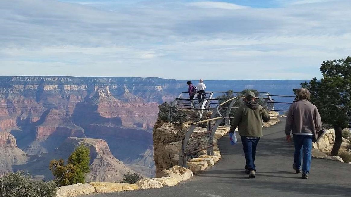
Maricopa Point
NPS/T.Karlovetz
Quick Facts
Location:
Hermit Road
Amenities
2 listed
Scenic View/Photo Spot, Wheelchair Accessible
The edge of the South Rim juts out over the canyon on this narrow point, extending northeast for about 100 feet (30 m) before dropping away vertically. The view from Maricopa encompasses over 180 degrees of Grand Canyon, with no significant obstructions between here and the canyon's depths. Several miles of the Tonto Trail are visible below and sharp eyes will spot the first tiny view of the Colorado River along the Hermit Road.
Glancing back toward the canyon rim between Maricopa Point and the next viewpoint at Powell reveals a relic of Grand Canyon's past. A large gate and clearing on the rim are all that remain of the Orphan Mine and its brief hotel operations. Looking west and down into the immediate left of the viewpoint reveals derelict mining equipment, cable line and supports, and a large man-made hole in the side of the canyon.
History
Maricopa Point is named for the Maricopa Indians who lived in south-central Arizona. They lived with the Pima Indians and were noted for their friendly approach to white pioneers. As you walk out onto this stunning vista, exhibit panels reveal the controversial mining history in the canyon from a spectacular viewpoint.
The nearby Orphan Lode Mine started as a copper mine in 1891 and then produced rich uranium ore until 1967. Be sure to stay on the trail, as "hot spots" from mined uranium ores still remain!
The National Park Service is restoring this mine site.