Last updated: May 26, 2023
Place
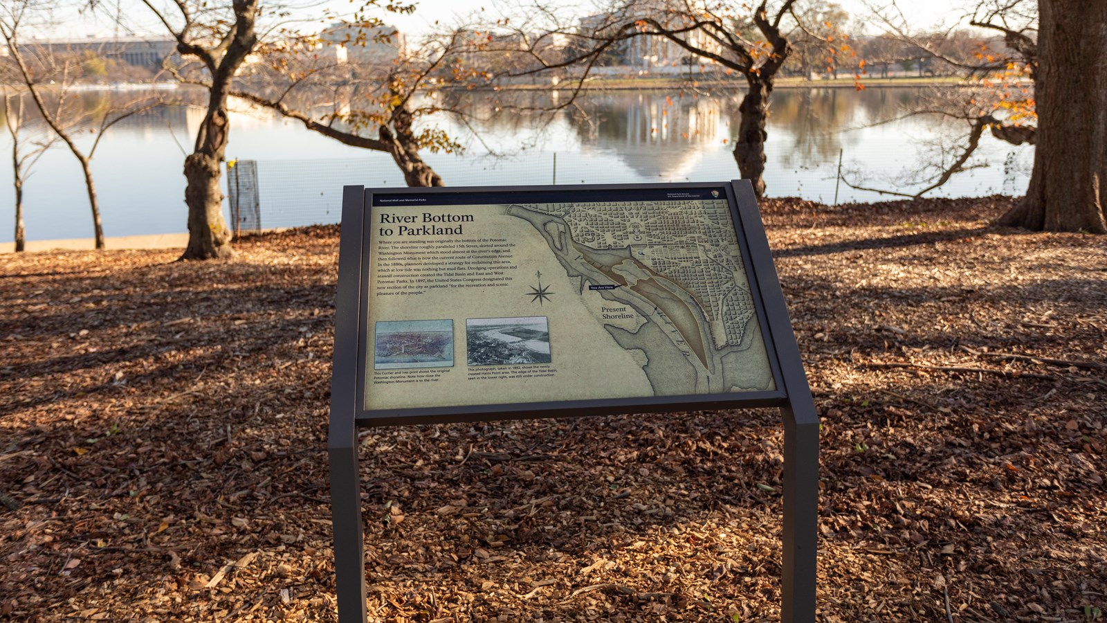
Information Panel: River Bottom to Parkland

NPS / Claire Hassler
Historical/Interpretive Information/Exhibits
Where you are standing was originally the bottom of the Potomac River. The shoreline roughly paralleled 15th Street, skirted around the Washington Monument which stood almost at the river's edge, and then followed what is now the current route of Constitution Avenue. In the 1880s, planners developed a strategy for reclaiming this area, which at low tide was nothing but mud flats. Dredging operations and seawall construction created the Tidal Basin and East and West Potomac Parks. In 1897, the United States Congress designated this new section of the city as parkland "for the recreation and scenic pleasure of the people."
Caption 1: This Currier and Ives print shows the original Potomac shoreline. Note how close the Washington Monument is to the river.
Caption 2: This photograph, taken in 1892, shows the newly created Hains Point area. The edge of the Tidal Basin, seen in the lower right, was still under construction.
