Last updated: March 6, 2021
Place
Information Panel: How High is the River?

NPS/USGS photo
Quick Facts
Location:
Georgetown Waterfront Park, Washington, DC
Amenities
2 listed
Historical/Interpretive Information/Exhibits, Wheelchair Accessible
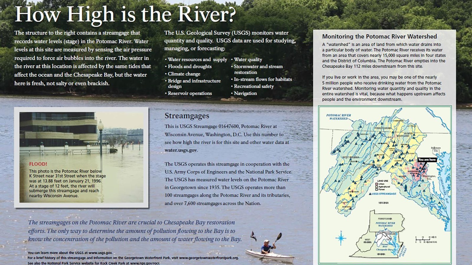
This wayside panel sits close to the edge of Georgetown Waterfront Park and overlooks the Potomac River.
The top third of the sign features a background of tall green trees, and below is a calm blue river. Two large boulders sit along the river's edge at the tree line, and a kayaker paddles in the river below. Text beneath the kayaker reads:Learn more about the USGS at www.usgs.govGeorgetown Waterfront Park is managed by Rock Creek Park (National Park Service). For more information, visit www.nps.gov/rocr and www.georgetownwaterfrontpark.org.
The sign is titled across the top left corner in white lettering: How High is the River?Text below reads:How High is the River? The structures to your right contains a streamgage that records water levels in the Potomac River. The hydrograph below shows the Potomac River reached flood levels in Jun 2018. Water levels at this site are measured by sensing the air pressure required to force air bubbles into the river. The water in the river at this location is affected by the same tides that affect the ocean and the Chesapeake Bay, but the water here is fresh, not salty or even brackish.The U.S. Geological Survey (USGS) monitors water quantity and quality. USGS data is used for studying, managing, and/or forecasting:
- Water resources and water supply
- Floods and droughts
- Climate change
- Bridge and infrastructure design
- Reservior operations
- Water quality
- Stormwater and stream restoration
- In-stream flows for habitats
- Recreational safety
