Last updated: July 21, 2023
Place
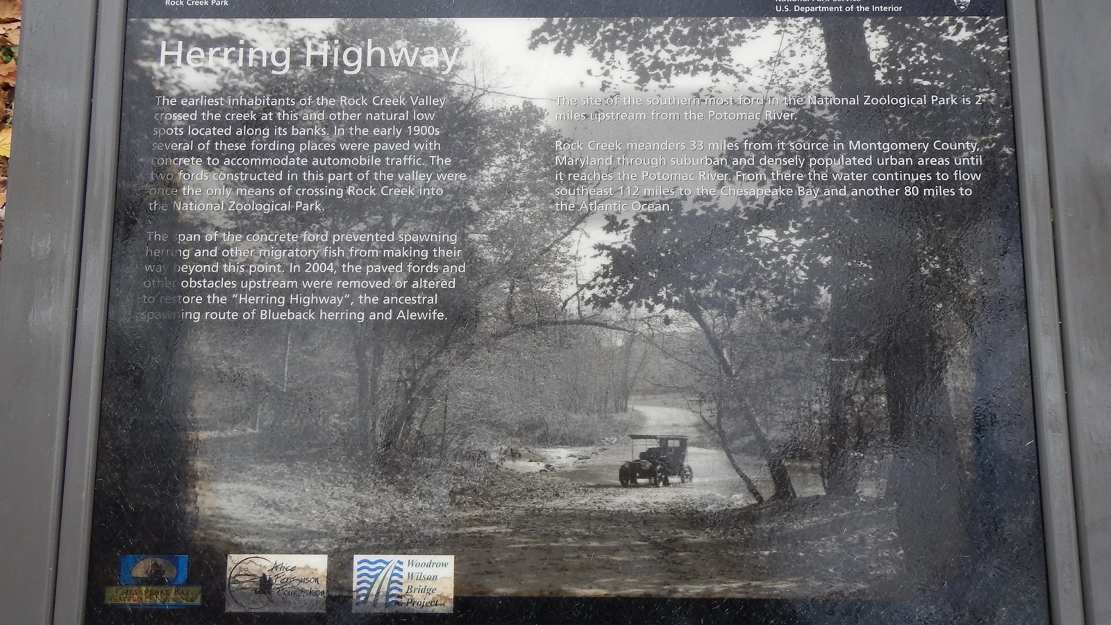
Information Panel: "Herring Highway"- Zoo Ford

NPS Photo/ R. Maher
Quick Facts
OPEN TO PUBLIC:
No
Amenities
1 listed
Historical/Interpretive Information/Exhibits
This information panel in the Herring Highway series is currently located on a closed section of trail near the Smithsonian Zoological Park.
Main text of the panel reads: The earliest inhabitants of the Rock Creek Valley crossed the creek at this and other natural low spots located along its banks. In the early 1900s several of these fording places were paved with concrete to accommodate automobile traffic. The two fords constructed in this part of the valley were once the only means of crossing Rock Creek into the National Zoological Park.
The span of concrete ford prevented spawning herring and other migratory fish from making their way beyond this point. In 2004, the paved fords and other obstacles upstream were removed or altered to restore the "Herring Highway", the ancestral spawning route of Blueback herring and Alewife.
The site of the southern most ford in the National Zoological Park is 2 miles upstream from the Potomac River.
Rock Creek meanders for 33 miles from it source in Montgomery County, Maryland through suburban and densely populated urban areas until it reaches the Potomac River. From there the water continues to flow southeast 112 miles to the Chesapeake Bay and another 80 miles to the Atlantic Ocean.
