Last updated: July 21, 2023
Place
Information Panel: "Herring Highway"- Peirce Mill

NPS Photo/ R. Maher
Quick Facts
Location:
Peirce Mill
Amenities
1 listed
Historical/Interpretive Information/Exhibits
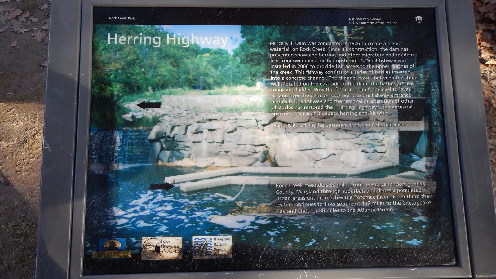
Informational panel in the Herring Highway series. The phtogoraph is of the waterfall over the Peirce Mill dam and has arrows pointing out the features of the fish ladder across the stream.
A duplicate of this panel is located across the creek in the parking area at Picnic Area #2 South.
Peirce Mill Dam was completed in 1906 to create a scenic waterfall on Rock Creek. Since it's construction, the dam has prevented spawning herring and other migratory and resident fish from swimming further upstream. A Denil fishway was installed in 2006 to provide fish access to the upper reaches of the creek. This fishway consists of a series of baffles inserted into a concrete channel. The channel passes between the stone walls located on the east side of the dam. The baffles act like rungs in a ladder. Now the fish can swim from level to level up and over the dam. Arrows point to the fishway entrance and exit. This fishway and the removal or alteration of other obstacles has restored the "Herring Highway," the ancestral spawning route of Blueback herring and Alewife.
Peirce Mill is 4.4 miles upstream from the Potomac River.
Rock Creek meanders 33 miles from its source in Montgomery County, Maryland through suburban and and densely populated urban areas until it reaches the Potomac River. From there the water continues to flow southeast for 112 miles to the Chesapeake Bay and another 80 miles to the Atlantic Ocean.
