Last updated: May 26, 2023
Place
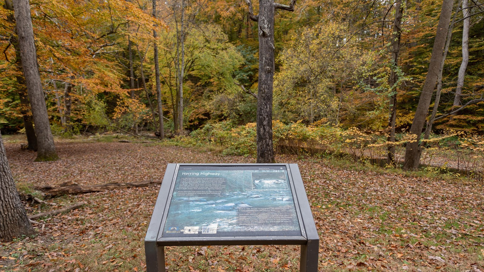
Information Panel: "Herring Highway"- Boulder Bridge

NPS / Claire Hassler
Quick Facts
Location:
Beach Drive NW
Significance:
Information Panel
Amenities
2 listed
Historical/Interpretive Information/Exhibits, Picnic Table
This information panel is part of the Herring Highway series and is located near Boulder Bridge.
Panel reads:
This may look like a natural arrangement of rocks but it is really a feat of engineering. Rocks are precisely placed to build a series of boulder step pools that raise the water level making it possible for fish to swim over an active sewer line. Migrating Blueback herring, Alewife and other fish can once again swim upstream to spawn as their ancestors did thousands of years ago. These pools are part of a larger project that restores the "Herring Highway". Please leave the rocks where they are. Future herring populations depend on these pools and channels for migration upstream.
Built in 1906, Boulder Bridge to your left crosses the creek 5 miles upstream from the Potomac River.
Rock Creek meanders 33 miles from its source in Montgomery County. Maryland through suburban and densely populated urban areas until it reaches the Potomac River. From there the water continues to flow southeast 112 miles to the Chesapeake Bay and another 80 miles to the Atlantic Ocean.
