Last updated: January 26, 2023
Place
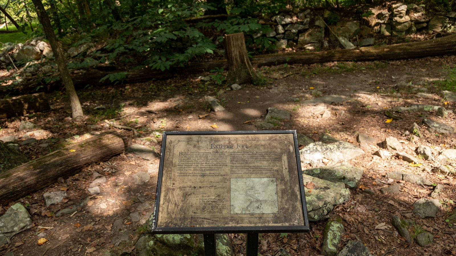
Information Panel: Exterior Fort

NPS / Claire Hassler
Historical/Interpretive Information/Exhibits
Built in 1863 to strengthen a double row of rifle-pits and to protect against attack from the north, the Exterior Fort consisted of two parallel rock walls, or breastworks, about 530 feet apart. The south line, visible in front of you, extended 520 feet down the mountain's steep western slope. The north defensive work extended 560 feet. Together they enclosed about 3 acres, including a campground.
Typical of such breastworks, these lines consisted of a thick, dry-laid stone wall that stood about breast high. A mounded, earthen embankment covered the north side of each wall. Along the base ran a shallow ditch. Described as a "double line of rifle pits," these embankments provided protection for soldiers firing toward the north.
The opening here in the south breastwork is the only entrance into the Exterior Fort. About 20 feet south are stone remains of the blockhouse which guarded this entrance.
Photo Caption: Defenses of Maryland Heights, by Maj. Nathaniel Michler, from August through September 1863. The Exterior Fort, with its extensive parallel walls, is located next to the Stone Fort.
