



Last updated: October 15, 2026
Place
Empire Bluff Trail - South Bar Lake "What a View!"
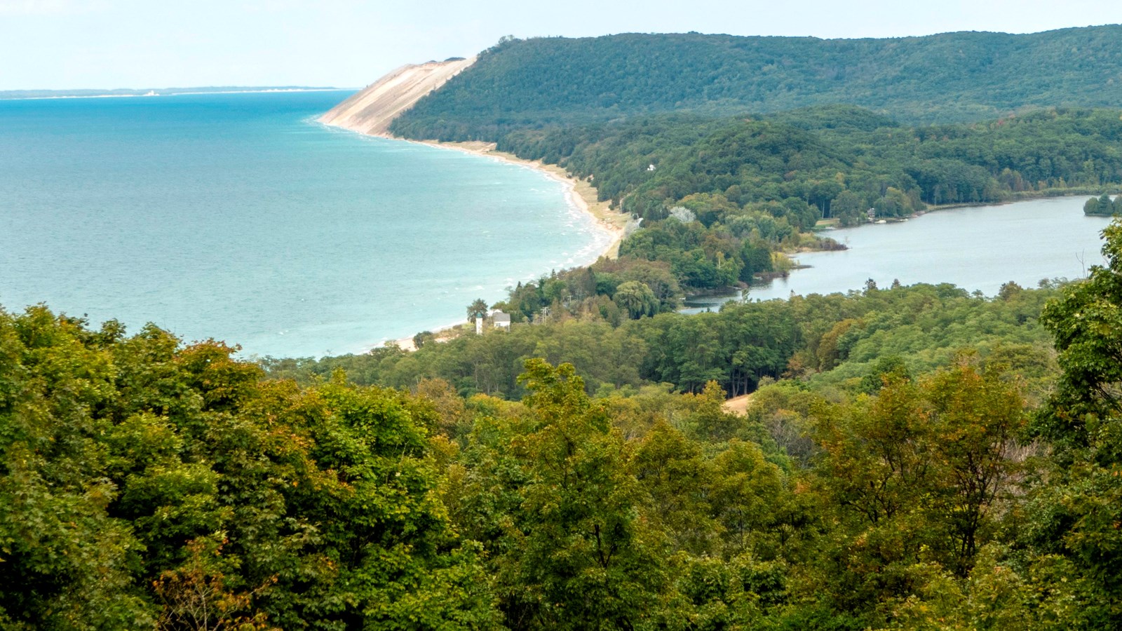
NPS credit
Quick Facts
Location:
GPS Coordinates: 44.8012,-86.0672
Amenities
1 listed
Scenic View/Photo Spot
About .5 miles from the Empire Bluffs trailhead is a bench marking the South Bar Lake overlook, with an exhibit that reads "What a View!". From here, you can take in the stunning view towards the north from which you can see South Bar Lake and the sweep of Lake Michigan's Platte Bay all the way to the Sleeping Bear Dune.
A bar lake is formed when winds and currents build a sandbar across a bay, isolating that bay from the larger lake. Declining lake levels can, and in this case did, greatly accelerate this process. As vegetation takes hold, the exposed sandbar traps more sediments and decaying vegetation starts to build up soil, further heightening and stabilizing the barrier between parent and daughter lake.
To the north of South Bar Lake is the equally imaginatively named North Bar Lake, a popular spot for wading and swimming.
The exhibit sign reads:
"What a View" Main Exhibit Text
Why has this place been protected as a national park? Look off in the distance. Can you see the bare cliff of sand?
Thousands of years ago this entire area was covered by very slow moving, massive sheets of ice called continental glaciers. Their bulldozer-like movements sculpted the earth, carving deeply in some spots, while pushing up layers of soil, sand, gravel, and rock in others. Around 14,000 years ago the glaciers started to melt, leaving behind high ridges called moraines. Over time, winds deposited sand on top of the shoreline moraines, creating perched dunes. Perched dunes are only found in a few places on Earth. Wind, water, and weather continue to change this dynamic, yet fragile landscape.
Image Descriptions
Background Image
The background of this exhibit is a modern photograph of a dune cliff that descends into the blue waters of Lake Michigan. The dune is mostly sandy and beige with small tufts of green vegetation sprouting up on the slope and crest.
Caption
Sleeping Bear Dunes National Lakeshore preserves outstanding natural features, including forests, beaches, dune formations, and ancient glacial phenomena in their natural setting for current and future generations.
View of Lake Michigan from a perched dune
Dune Cliff (top center)
Near the top center of the exhibit, a circular pop out image shows an inset photo of the dune cliff. An area of the cliff is circled and a white arrow points to the main background image, indicating which section of the dune the main image portrays.
Illustrated Dune Graphic (bottom right)
On the lower right side of the exhibit, there is an illustrated graphic of a dune. The graphic is titled “Making a Dune” and includes a directional arrow from left to right indicating the wind direction. Labels on the dune include: sand grains drifting along by wind, sand grains piling up, perched dune, and slip face.