Last updated: September 25, 2025
Place
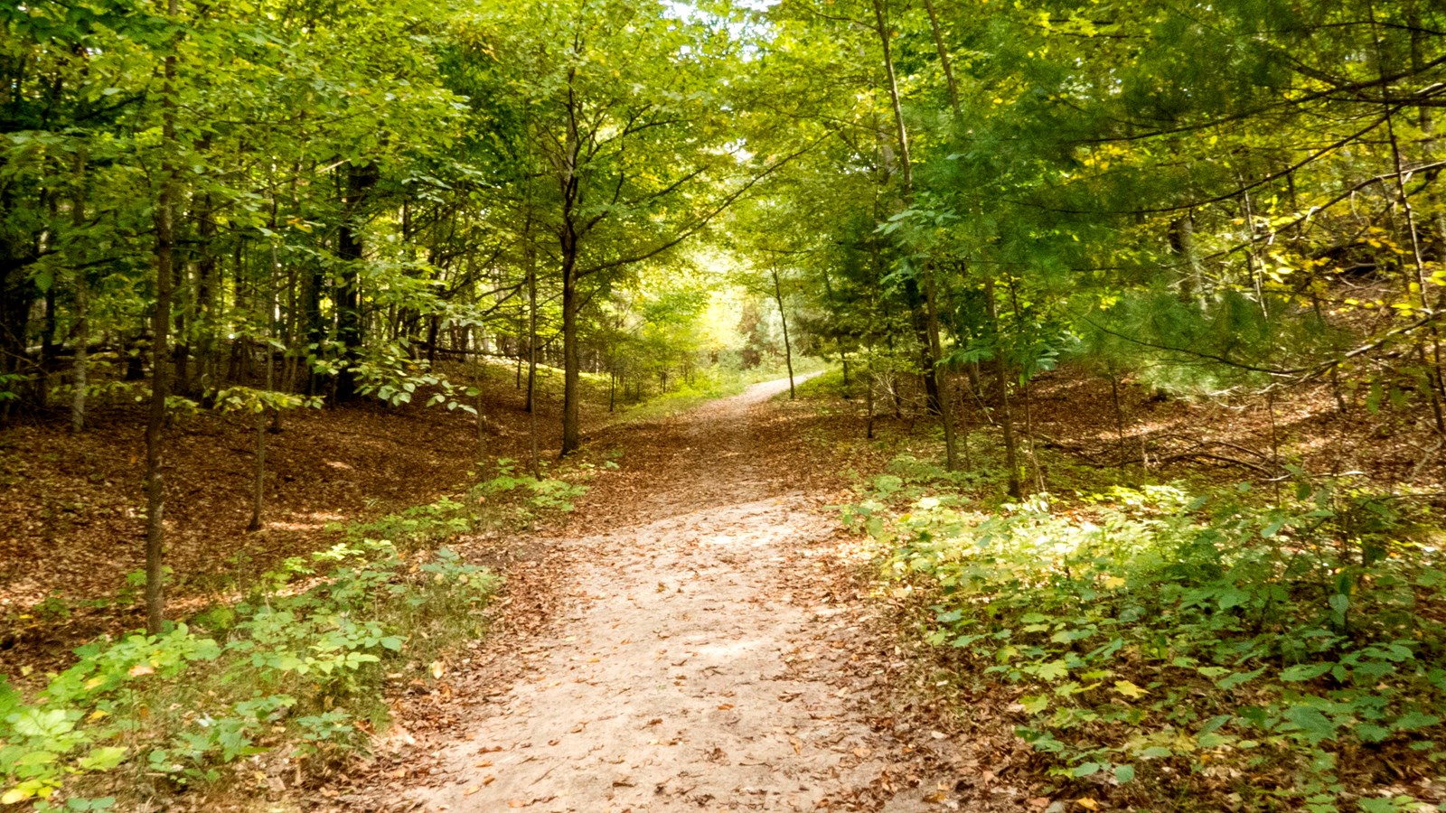
Alligator Hill Trail - Stocking Drive Trailhead
NPS credit
Quick Facts
Location:
GPS Coordinates: 44.8896,-86.0215
Amenities
3 listed
Parking - Auto, Toilet - Vault/Composting, Trailhead
An often overlooked gem, Alligator Hill is nine miles of hiking trails looping through a hilly, leafy, alligator-shaped ridge with beautiful views of both Lake Michigan and Big Glen Lake. The three interconnected loops allow you to choose the hiking experience you want ranging from a shorter, easier hike leading to great views to a solid workout up and down the rolling hills and through the forest. They are also the only trails in the Sleeping Bear National Lakeshore where horseback riding is allowed.
Pets are not allowed on the trail in winter. Alligator Hill is a designated cross-country ski trail during the periods of December 1 through March 31.
A vault toilet is available at trailhead.
The trails that wind up and down Alligator Hill are wide, well-marked paths that are used by Nordic skiers, day hikers and equestrians. Mountain bikes are not allowed on the trails.
Distance from Trailhead
Entering from the Stocking Road trailhead will begin the Easy Loop.
Intermediate and advanced ski loop distances include the hike back to the Stocking Road trailhead.
Easy hike and ski loop: 3 mi, 4.6 with spur to Big Glen Lookout
Moderate hike, intermediate ski loop: 5 mi, 6.6 mi with spur to Big Glen Lookout
Moderate hike, advanced ski loop: 4.6 mi, 6.2 mi with spur
Terrain
The 1.5-mile hike from the Stocking Road trailhead to the Islands Lookout on top of Alligator Hill is a relatively gentle uphill walk through maple-beech forest on an old road bed. The view from the lookout is spectacular. On a clear day, you can see North and South Manitou Island and Sleeping Bear Point. Quite often South Fox Island will also be visible and perhaps even a freighter making its way through the Manitou Passage. There is a bench at the lookout for you to sit, relax, and enjoy. Continue on to the Big Glen Lookout for a view overlooking miles of vibrant trees to Big Glen Lake.
The best cross-country skiing in the Lakeshore, Alligator Hill's trail system offers skiers three loops rated easy, intermediate, and advanced and feature plenty of long downhill runs and equally long climbs.
Comments
Alligator Hill was named for the long ridge and bluff at its southeast corner that resembles the silhouette of an alligator's snout, best seen from the top of the Dune Climb. Alligator Hill is the result of glacial activity when two lobes of ice that gouged out Big Glen Lake and Little Glen Lake dumped the sand and rock theiy carried between them. An ancient Lake Michigan, that was much higher than today's Great Lake, went on to erode bluffs and cut terraces and notches on the flank of the hill, including the alligator's snout.
Why is it called Alligator Hill?
The hill picks up its name from a long ridge and bluff at its southeast corner that resembles the silhouette of an alligator's snout, best seen from the top of the Dune Climb. Alligator Hill is the result of glacial activity when two lobes of ice that gouged out Big Glen Lake and Little Glen Lake dumped their load of sand and rock between them. An ancient Lake Michigan, that was much higher than today's Great Lake, went on to erode bluffs and cut terraces and notches on the flank of the hill, including the alligator's snout.
Whats that Concrete Structure?
Entering the parking lot, or starting on the trail, you may notice several concrete cells on the right hand side. These are charcoal kilns from the logging and lumber industry that took place in the area.
Golf on Alligator Hill?
The Alligator Hill trail system sits on what was once Day Forest Estates. Area pioneer D. H. Day owned all of this land and planned to subdivide much of the area into a real estate development, complete with its own golf club. But Day's death and the Great Depression foiled those plans and the development never happened. The golf club closed in 1942, but you can still see the outlines of fairways today from aerial and satellite photos. The development's roads, driveways, and fairways now form the backbone of the Alligator Hill trail system.
Take the Trail Trekker Challenge
Do you think you can hike all of the trails in one year? Want to explore the landscape of Sleeping Bear Dunes National Lakeshore, exercise, and have fun all at the same time? Join the Trail Trekker Challenge! Earn a prize and bragging rights by successfully completing each of the 13 mainland trails in the National Lakeshore. Hiking is a great way to get daily physical exercise and promote health while also discovering the beauty of the area. What better way to get your muscles warm, your heart pumping, and your senses savoring the views!
Pick up a copy of the Trail Trekker Challenge brochure/logbook at the visitor center in Empire.