Last updated: March 3, 2021
Place
15 - The Pacific for its Stage

WAYSIDE PANEL TITLE: The Pacific for its Stage
PANEL DESCRIPTION: The wayside faces north east, northern side of the trail.
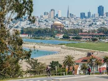
VIEW FROM WAYSIDE: You're standing on the edge of a wide waterfront trail. A small, sandy beach with medium-sized rocks scattered about leads down to the bay. In the distance you can see the L-shaped pier, Torpedo Wharf, the Golden Gate Bridge and Marin Headlands. Behind you are several picnic table and barbecues. Trash cans are 30 feet behind you and to the left, on both sides of a sidewalk that cuts between the picnic tables.
TEXT: Landmark Flights Help Shrink the World. Crissy Field was the site of several record-breaking flights that helped make the world a smaller place. Given its strategic location on the West Coast and its capacity to accommodate both land and sea planes, Crissy Field influenced the expansion of military air power and the rise of commercial aviation. As the San Francisco Chronicle noted in 1925, "It is here in the Pacific that the future drama of our expanding commerce will be enacted. The play of rival forces now finds the Pacific for its stage..."
TEXT: An Air Corps Aloha. In 1929, two PN9 seaplanes made the first attempt to fly from the mainland to Hawaii. Both aircraft were forced down short of their goal. One of the crews was adrift for 12 days before the men were rescued. Two years later an Army modified Fokker C-2 flew from the shoreline here at Crissy Field to the new Oakland Airport, then on to Hawaii. Charles Lindbergh called it "the most perfectly organized and carefully planned flight ever attempted."
DESCRIPTION OF IMAGE: Black and white photograph of a propeller plane from the front at a three-quarter angle. Its wings are straight and flat across the top of the cockpit, and the wheels below its undercarriage are small, resembling the black and white wagon wheels of a Radio Flyer. The propeller is barely visible because of a dark shadow. In the background is half of a building with an angled roof, and a large bay door left open. The plane is on display on a gravel lot next to a field of grass.
CAPTION: Specially modified to carry extra fuel and the latest navigational equipment, this Fokker C-2 transport, the Bird of Paradise, completed the first California-to-Hawaii flight in 1927 in less than 26 hours.
DESCRIPTION OF IMAGE: A black and white photograph shows a plane from a three-quarter rear angle. This plane has two-tiered wings, supported by thin vertical bars. It's resting on a short ramp that leads into the water and is surrounded by water on all sides. Several individuals are standing on the dock beside it.
CAPTION: A PN9 amphibious aircraft sits on the seaplane ramp. At low tide you can see the ramp at the water's edge.
DESCRIPTION OF IMAGE: Black and white photograph of two men, one is dressed in a bomber jacket with large breast pockets and wings pinned above the pocket on his left. His head is covered in a dark cowl, and goggles rest on his forehead above his eyes. He is smiling and writing in an open ledger laid out on a wooden table before him. To his left is a man in a dress Army uniform, complete with a flat-topped, brimmed hat. He's also smiling, as he looks over the shoulder of the man writing in the ledger.
CAPTION: Major Hap Arnold watches Lieutenant Lowell H. Smith sign in upon his return from a transcontinental flight in 1919. Five years later, Army aircraft were the first to circumnavigate the globe.
DIRECTIONS TO NEXT STOP: Walk west 340 feet to arrive at the next wayside on the northern side of the trail.
