Last updated: March 3, 2021
Place
12 - The Last Word in Airfields

WAYSIDE PANEL TITLE: The Last Word in Airfields
PANEL DESCRIPTION: The wayside faces south, on the south side of the trail at the edge of Crissy Field.
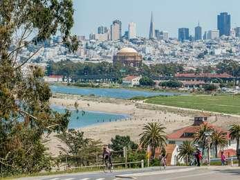
VIEW FROM WAYSIDE: From where you're standing along the inland side of the San Francisco Bay Trail, is the edge of Crissy Field. There's a brief but steep slope leading up from the trail to the flat, unspoiled grassy field. To your right is a path that cuts diagonally west across Crissy Field.
TEXT: U.S. Army Coast Defense Air Station. From 1921 to 1936, Crissy Field was at the forefront of military air operations. Home of the U.S. Army Air Corps' Coast Defense Air Station, the site included a grassy landing strip and the barracks, offices and hangars that typified the era of barnstormers and biplanes. Limited space for expansion and frequent fog eventually prompted the Air Corps to move north to Hamilton Field in Marin County.
DESCRIPTION OF IMAGE: Black and white photo of a biplane in mid-flight, close to the ground. Its propeller is a whirring blur, but the double-decker wings, with sections above and below the cockpit are clear, as are the support poles holding them together.
CAPTION: This is the earliest known photograph of Army flight operations at Crissy Field.
DESCRIPTION OF IMAGE: Black and white photograph of several men in flat-topped Army hats and uniforms, standing under the shadow of a biplane's wing, that, at its full height, is about three feet over the men's heads. The wheel of the plane is in the lower right-hand corner, and the supports connecting the two sections of the plane's wings are visible behind the men.
TEXT: In 1921, Marshal Ferdinand Foch, commander of the victorious allied armies in World War I, inspected this new installation and pronounced it, "The last word in airfields." Left: The Chief of the U.S. Army Air Service, Major general Mason Patrick, inspects the airfield.
DIRECTIONS TO NEXT STOP: Walk west one third of a mile from and you'll arrive at the next wayside on the southern side of the trail.
