|
PADRE ISLAND
Padre Island National Seashore Historic Resource Study |

|
ILLUSTRATIONS
|
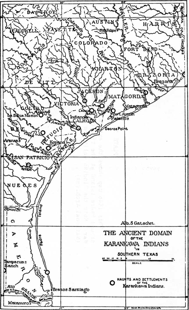
| PLATE 2. This illustration outlines the extent of Karankawa Indian territory on the Texas Gulf Coast. The map shows the location of a Karankawa camping site on Padre Island. More recent archeological investigations indicate that Karankawas frequented a number of camps on the island. (Library of Congress) (click on image for an enlargement in a new window) |
| (omitted from the online edition) |
| PLATE 3. This 1846 map shows the extent of settlement around Padre Island at the time of the Mexican War. Note the "Indian wells" on the island. (National Archives) |
|
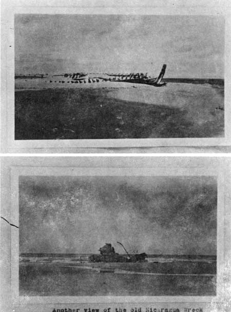
| PLATE 4. These are but two of the many ships and boats that have been found a final resting place on the shores of Padre Island. The boiler from the Nicaragua, lower illustration, is still visible today. (La Retema Library, Corpus Christi) |
| <<< Previous | <<< Contents>>> | Next >>> |
pais/hrs/plate2.htm
Last Updated: 16-Mar-2007