|
Mormon Pioneer
Historic Resource Study |

|
APPENDIX A:
MAPS (continued)
|
|
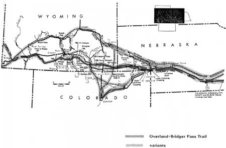
Map 12: The Overland-Bridger Pass Trail, 1862-1868. (Source: Stanley B. Kimball, Historic Sites and Marker). |
|
|
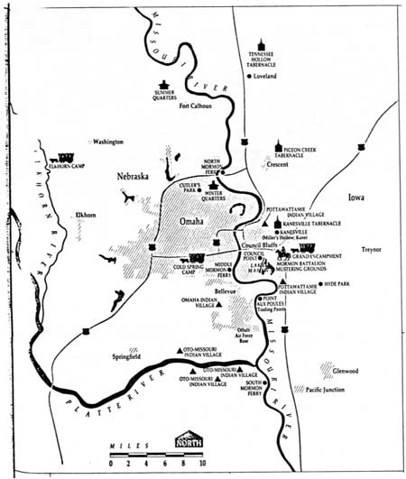
Map 13: Sketch of Council Bluffs-Winter Quarters Area, 1846-1853. (Source: Gail G. Holmes, "The LDS Legacy in Southwestern Iowa.") |
|
|
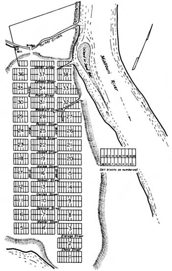
Map 14: Sketch Map of Winter Quarters, 1846-1847. (Source: Richard E. Bennett, Mormons at the Missouri 1846-52). |
|
|
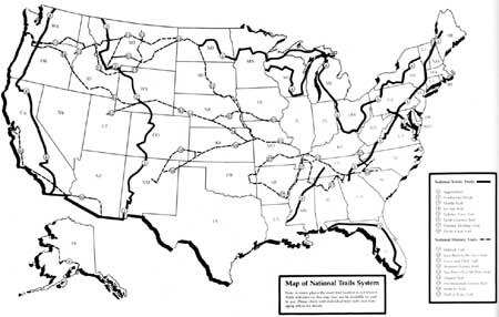
Map 15: National Trails System, 1990. (Source: Report on America's National Scenic, National Historic and National Recreation Trails, 1989-1990, January 1991, National Park Service, U.S. Department of the Interior). |
| <<< Previous | <<< Contents >>> | Next >>> |
mopi/hrs/hrsaa3.htm
Last Updated: 08-Oct-2003