|
MANZANAR
Historic Resource Study/Special History Study |

|
CHAPTER SIXTEEN:
THE MANZANAR WAR RELOCATION CENTER SITE, NOVEMBER 21, 1945 - PRESENT (continued)

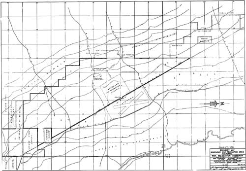
Map 1: Boundary Map, Manzanar War Relocation Area, August 27, 1942. 835

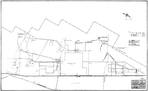
Map 2: Manzanar Farm and Irrigation Map, April 12, 1943. 837

Map 3: Manzanar Relocation Area, September 13, 1943. 839
| <<< Previous | <<< Contents >>> | Next >>> |
manz/hrs/hrs16g.htm
Last Updated: 01-Jan-2002