Jean Lafitte
Historic Resource Study (Chalmette Unit)
|

|
ILLUSTRATIONS
|
|
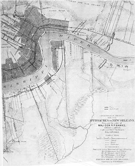
Illustration 11. Map showing location of
the Chalmette and McGehee fortifications, 1862-63. (From Atlas to
Accompany the Official Records of the Union and Confederate
Armies (Washington: Government Printing Office, 1819-95), Plate
XC, 1.)
|
|
|
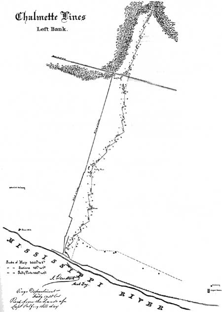
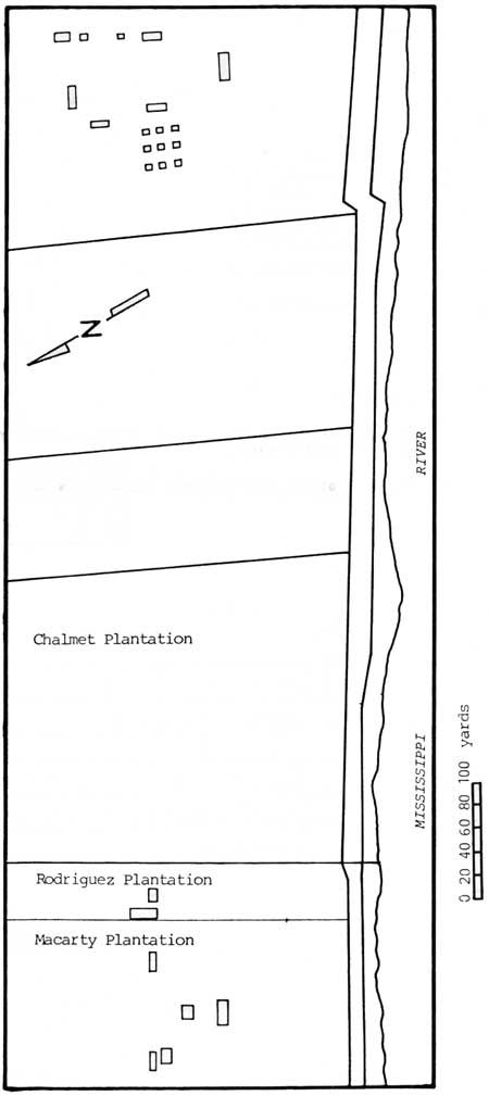
Illustration 12. Diagram of the Civil
War earthworks at Chalmette, 1864. Note buildings along the riverfront.
(National Archives)
|
|
|
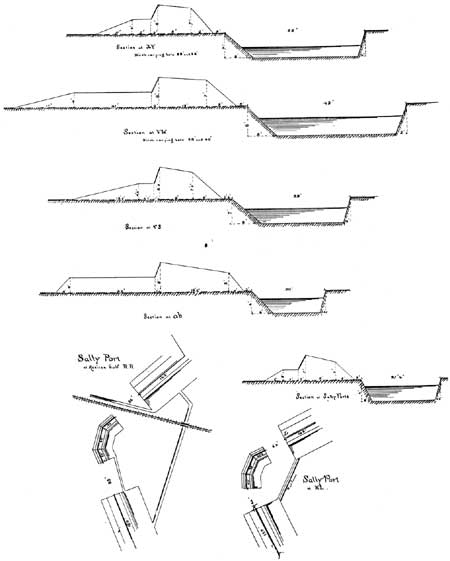
Illustration 13. Profiles of the Civil
War earthworks at Chalmette, 1864. (National Archives)
|
|
|
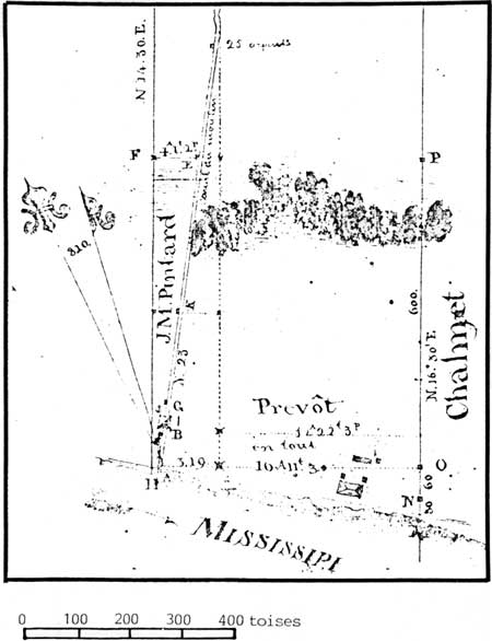
Illustration 14. Barthelemy Lafon's 1808
survey of the Jean Baptiste Prevost property which later became the
westernmost 16 arpents of the Chalmet Plantation; and the J.M. Pintard
property which became the Rodriguez Plantation. (New Orleans Notorial
Archives (NONA), P. Pedesclaux, June 6, 1813)
|
|
|
Illustration 15. Redrawn detail of
Latour's Plan of the Battle of January 8, 1815. (Chalmette Unit, Jean
Lafitte National Historic Park)
|
jela/hrs/hrsi3.htm
Last Updated: 05-Sep-2004
|