|
Grant-Kohrs Ranch
Administrative History |

|
TABLE OF CONTENTS
Chapter 1: Going Into the Cattle Business: NPS Acquisition
Chapter 2: Working Ranch and Working Park: Planning
Chapter 3: The Size of the Spread: Lands
Chapter 4: A Home On the Range: Facilities Development
Chapter 5: Preserving the Home Place: Cultural Resources Management
Chapter 6: Cattle or Cook Stoves: Interpretation
Chapter 7: Real Ranch or Not: Natural Resources Management
Appendix I: Chronology
Appendix II: Roster of Key Staff
Appendix III: Legislation
a. Senate Report No. 92-1029
b. House Report No. 92-1222
c. Congressional Record, Pt. 21
d. Congressional Record, Pt. 22
e. P. L. 92-406, Aug. 25, 1972
f. P. L. 95-625, Nov. 10, 1978
g. P. L. 96-607, Dec. 28, 1980
LIST OF ILLUSTRATIONS
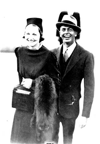
Photo 2. Vernon B. Hennesay and group of Yellowstone Park employees
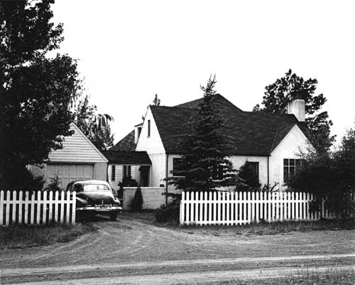
Photo 3. Warren Ranch House, c. 1945
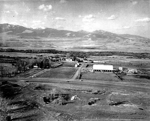
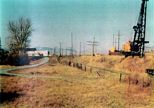
Photo 4. Aerial view of Warren/Grant-Kohrs Ranch
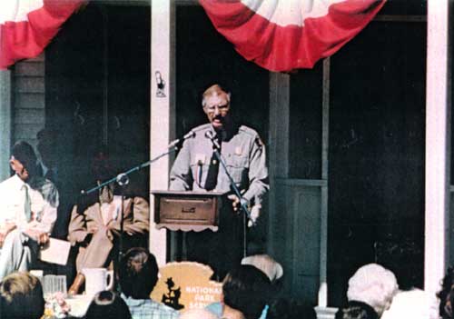
Photo 5. Supt. Richard R. Peterson speaking at park dedication
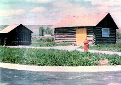
Photo 6. Visitor contact station and restrooms c. 1975
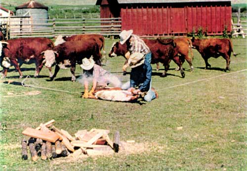
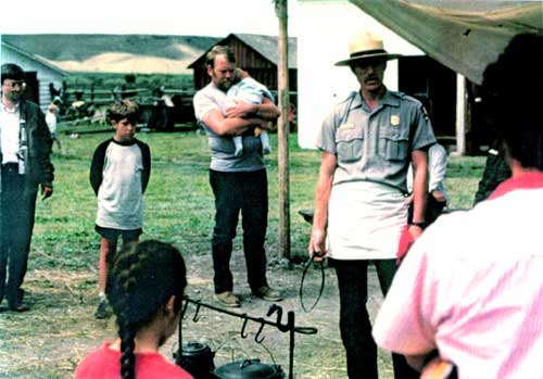
Photo 7. Branding demonstration, 1982
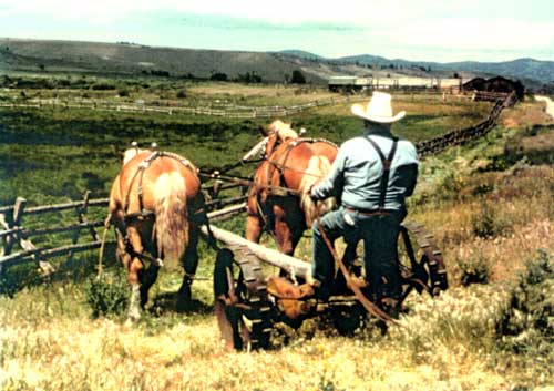
Photo 8. Mowing with horses, 1978
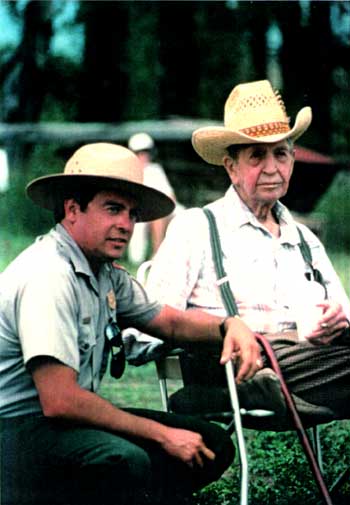
Photo 9. Supt. Eddie L. Lopez and Con Warren, 1989
Photo 10. Mobile home used as employee housing
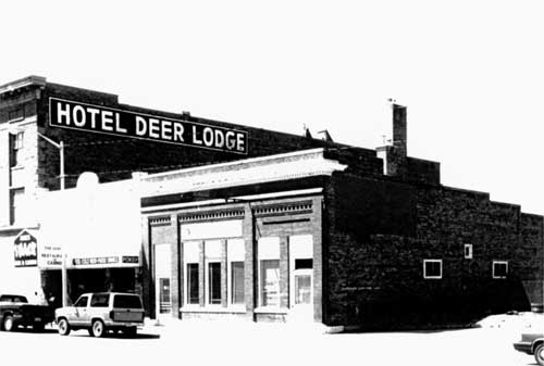
Photo 11. First park headquarters at 314 Main St
Photo 12. Nearly-completed visitor facilities, 1975
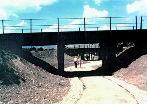
Photo 13. Pedestrian underpass construction
Photo 14. Completed pedestrian underpass
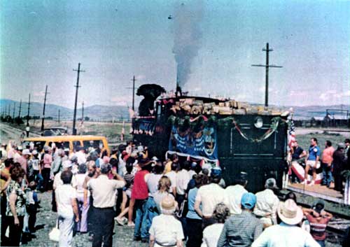
Photo 15. Supt. Jim Taylor speaking at Last Spike Centennial program
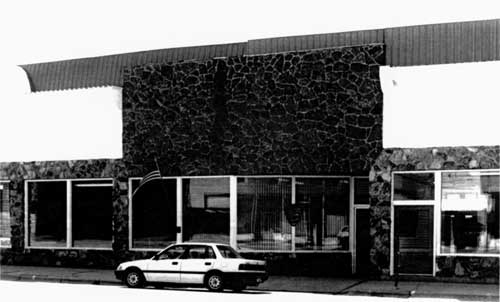
Photo 16. Second park headquarters at 210 Missouri Avenue
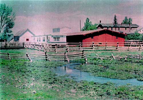
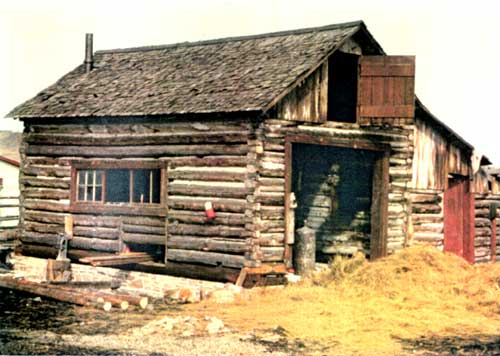
Photo 17. Restoration of stallion barn
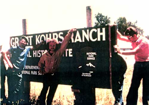
Photo 18. NPS personnel with new park entrance sign
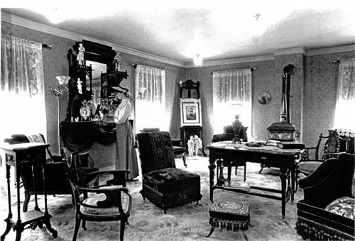
Photo 19a. Refurnished rooms in the ranch house
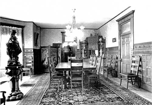
Photo 19b. Refurnished rooms in the ranch house
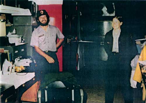
Photo 20. Mike McWright and Randi Bry in curatorial storage area
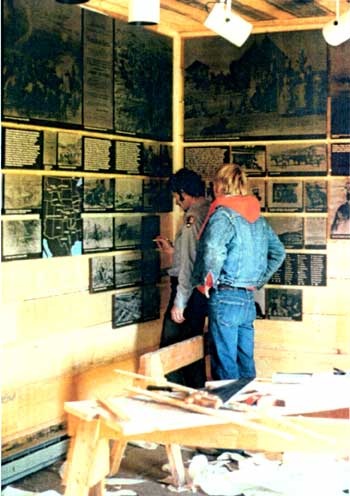
Photo 21. Mike McWright and Mick Holm working on exhibits
Photo 22. Ed Griggs and Mick Holm driving team of Belgians
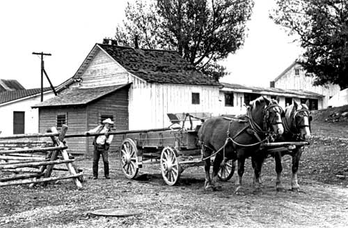
Photo 23. Pete Cartwright using team for hauling materials
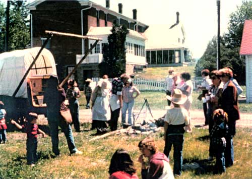
Photo 24. Chuck wagon demonstration, 1982
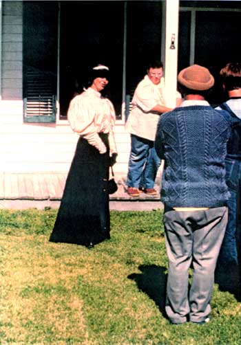
Photo 25. Lyndel Meikle giving a ranch house tour
Photo 26. Bill Stalker at chuck wagon demonstration
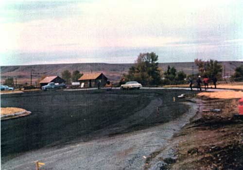
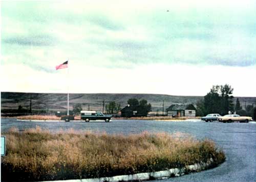
Photo 27. Parking lot and visitor contact station
Photo 28. Last Spike Centennial celebration
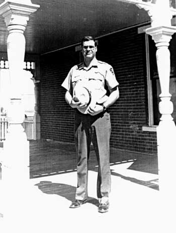
Photo 29. Superintendent Anthony J. Schetzsle
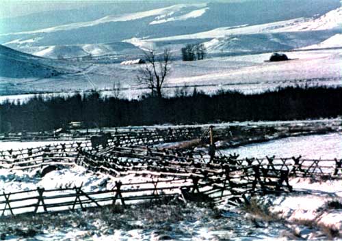
Photo 30. Winter landscape at Grant-Kohrs Ranch
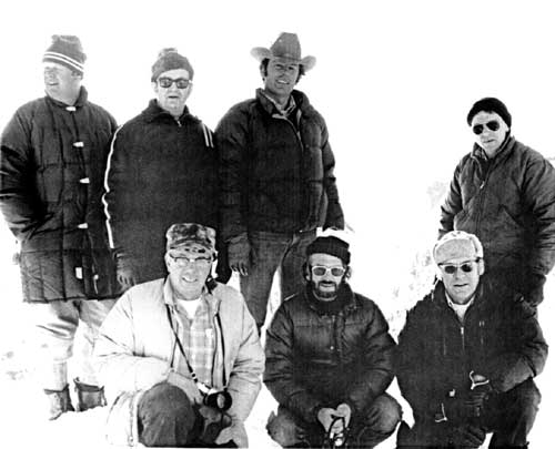
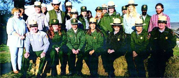
Photo 31. Grant-Kohrs Ranch NHS staff, 1995
LIST OF MAPS
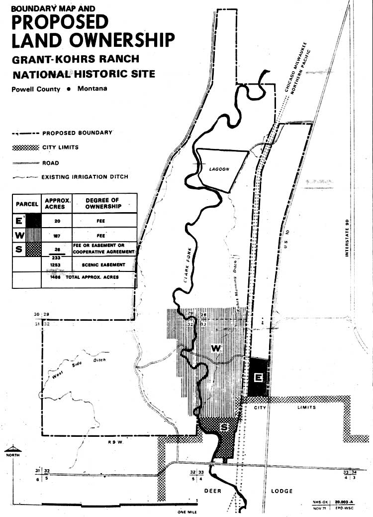
Map 2. Proposed Land Ownership
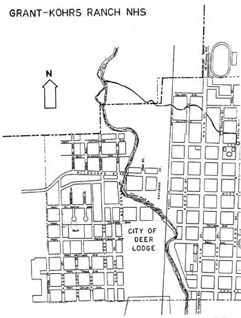
Map 3. Street Map, City of Deer Lodge
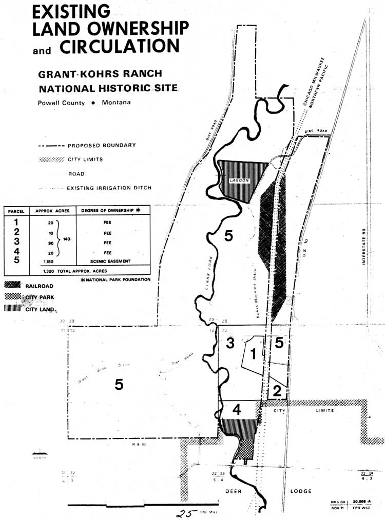
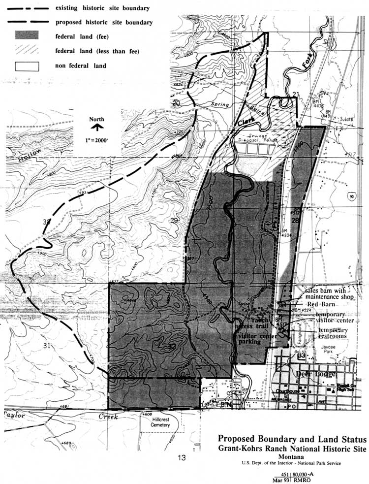
Map 4. Land Status
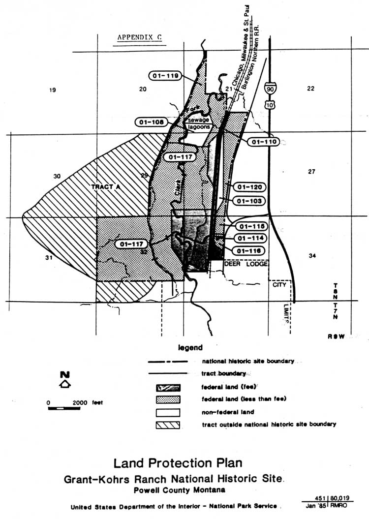
Map 5. Land Protection Plan Map
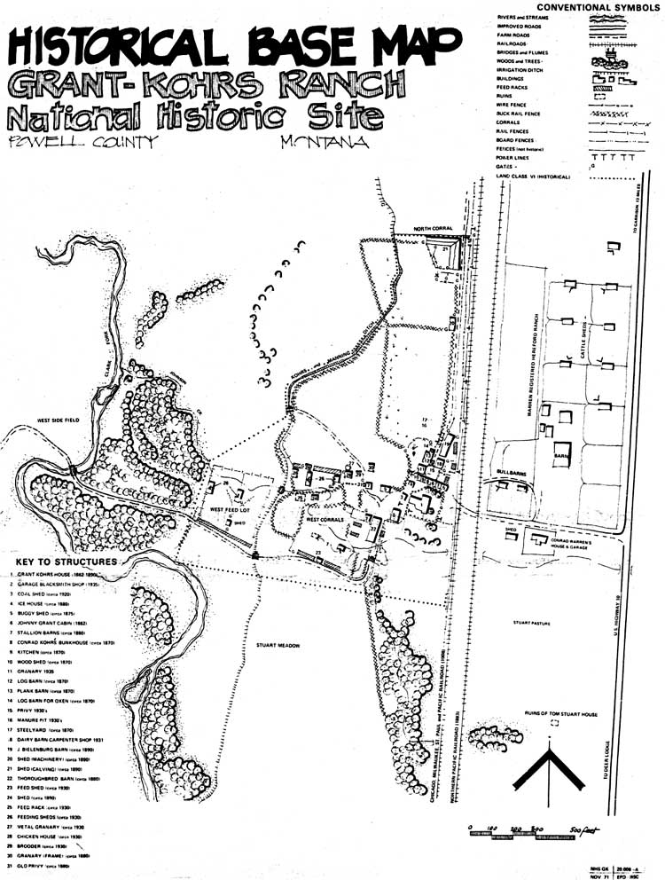
Map 6. Historical Base Map
Map 7. Proposed Boundary
| <<< Previous | <<< Contents >>> | Next >>> |
grko/adhi/adhit.htm
Last Updated: 28-Aug-2006