|
Catoctin Mountain Park
Historic Resource Study |

|
APPENDIX 11
|
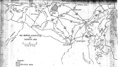
| Maryland State Planning Commission Maps of Original Park Borders, 1935. (Maryland State Planning Commission, Preliminary Statement on Problems of Land Usage in Maryland, July 1935) |
| <<< Previous | <<< Contents >>> | Next >>> |
cato/hrs/hrsa11.htm
Last Updated: 21-Nov-2003