CABRILLO
Shadows of the Past
|

|
CHAPTER ONE:
SHADOWS OF THE PAST AT CABRILLO NATIONAL MONUMENT (continued)
|
|
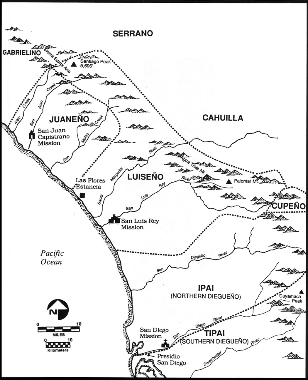
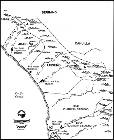
Figure 1: Native American and Spanish
Colonial Settlements, ca. 1800 AD in southern coastal California (Ronald
May map). (click on image for an enlargement in a new
window)
|
|
|
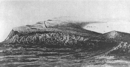
Figure 2: Major Hartman Bache's late
1850s sketch of Point Loma peninsula, looking northward from the
Lighthouse location. Ridgetop roadway and settlement at Ballast Point
are visible (National Park Service photograph from National
Archives).
|
|
|
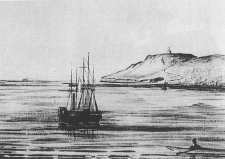
Figure 3: Major Hartman Bache's late
1850s sketch of the Point Loma Lighthouse as seen from Ballast Point
anchorage. Curving roadway to ridgetop from Ballast Point is clearly
visable (National Park Service photograph from National
Archives).
|
|
|
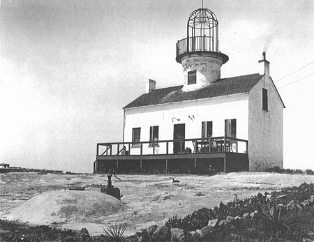
Figure 4: Point Loma Lighthouse used for
military housing, ca. 1917. Rainshed pavement and cistern exist but
lens and illumination systems are missing (National Park Service
photograph from historical collection of Title Insurance and Trust
Company, San Diego).
|

|
|
Figure 5: Vertical aerial view of Point
Loma peninsula southern section illustrating main road (State Route
209), historic Lighthouse at roadway loop with parking lot, western
ocean terraces with 1891 Lighthouse at peninsula tip and Gatchell Road
connecting seaward Fort Rosecrans facilities. The rugged eastern
terrace is accessed by Sylvester Road linking bayside installations with
Fort Rosecrans and Ballast Point developments. Topographic differences
between east and west peninsula slopes are evident in roadway
configurations as switchbacks or linear cut-fill constructions (National
Park Service photograph from National Archives).
|
|
|
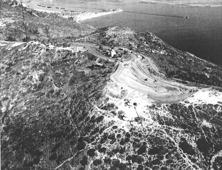
Figure 6: Early 1960s oblique aerial
view of Cabrillo National Monument, looking northeast. Historic
lighthouse, 1930s restroom and garage and overlook parking under
modification are shown. Trail to Sylvester Road is visable on a knoll
where Visitor Center was constructed in 1965-66. Base End Stations for
coastal batteries are in lower right and upper left center, indicated by
faint dark lines (National Park Service photograph from Naval Operations
archives).
|
cabr/shadows/chap1a.htm
Last Updated: 06-Apr-2005
|