NPS photo
To assist grant recipients, SHPOs, THPOs, and interested citizens in identifying and surveying battlefields, ABPP developed a survey manual for terrestrial battlefields. This manual addresses research methods, mapping, military terrain analysis, and standard documentation of features and integrity. It was last updated in 2016.
Submerged Battlefield Survey Manual
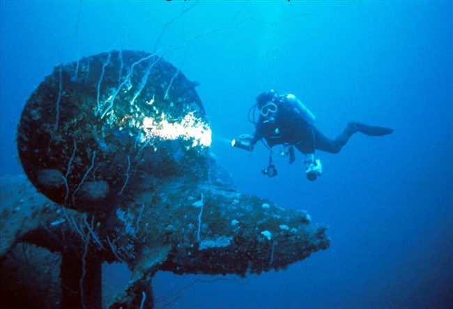
Not all battles occured on land! The major difference between terrestrial and submerged battlefield archeology is the environmental site context: working in submerged environments requires the use of different technologies to access sites and interpret terrain features. In 2020, Ships of Exploration and Discovery, Inc., produced a survey manual for submerged battlefields with the support of a 2017 Battlefield Preservation Planning Grant, which they have made available for public use.
Last updated: September 1, 2020
