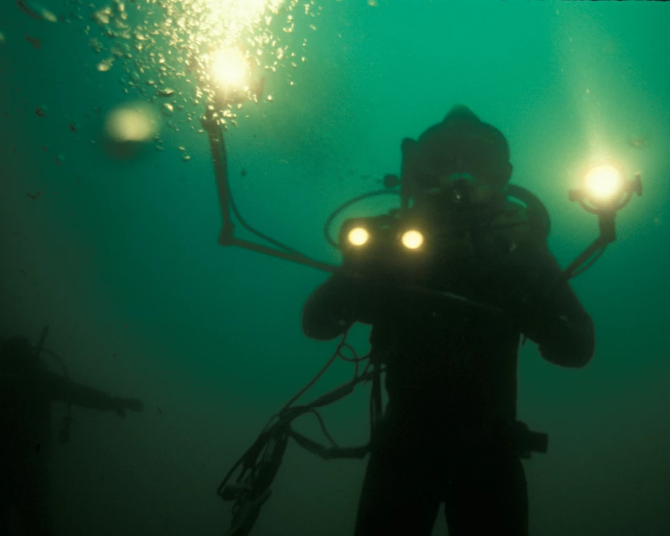
Left image
1982, Isle Royale National Park: Hard hat diver with tethered 1/2" B/W reel to reel video camera with A/C strobes.
Credit: NPS
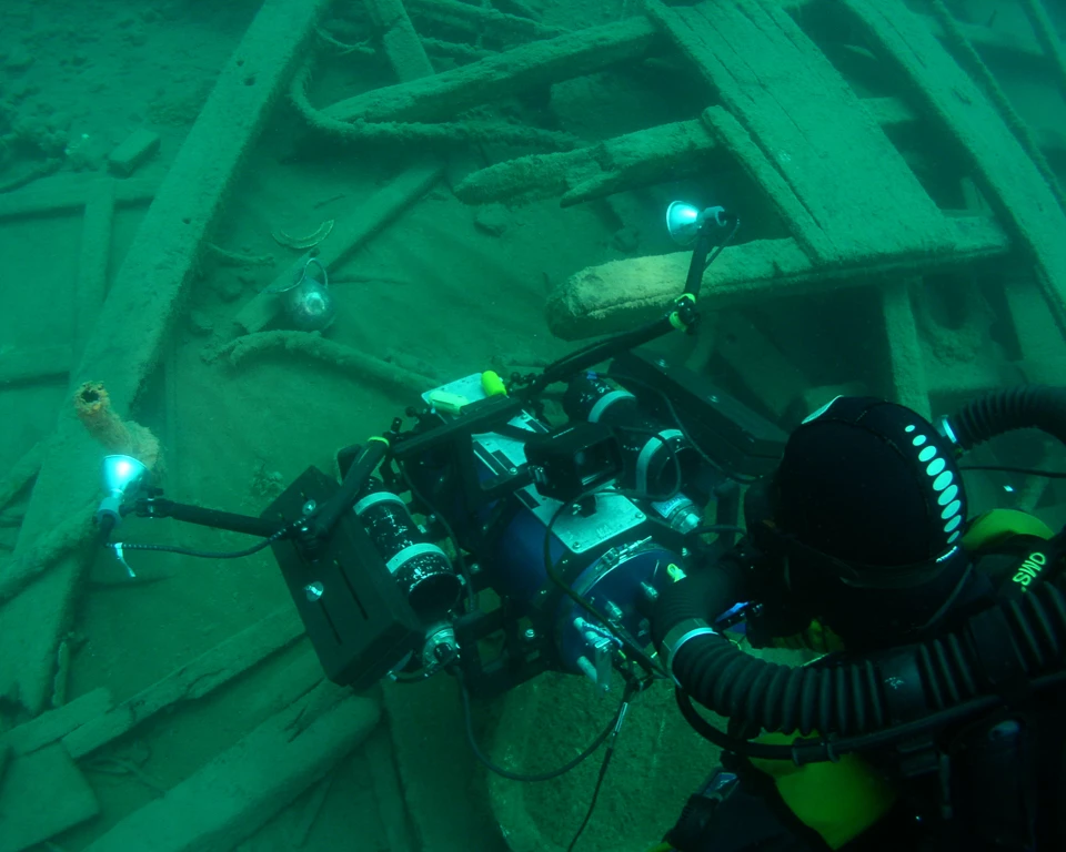
Right image
2012, Isle Royale National Park: NPS Rebreather diver with a tethered 3D underwater camera system.
Credit: NPS
ADVANCES IN PHOTOGRAMMETRY
Within the past few years, photogrammetric technology has become an emerging tool for archeologists to map and document features or entire shipwreck sites underwater. Photogrammetry uses two-dimensional image sequences from multiple perspectives to create a three-dimensional visualization of an object. The SRC is testing this technology against known mapped shipwrecks to determine accuracy and feasibility as well as adapting new photogrammetric mapping project to document underwater sites across the National Park system.Last updated: January 31, 2017