Susanna Pershern
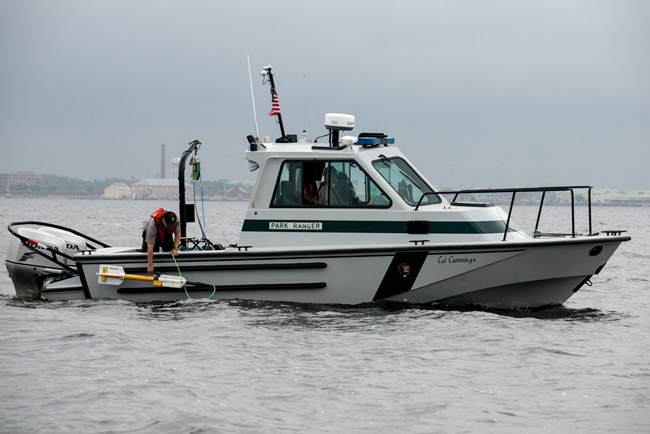
We utilize the following equipment, depending on the needs of the survey:
- Geometrics 882 Magnetometer
- Marine Magnetice Explorer
- EdgeTech 4125 Side Scan Sonar
- Klein 3000H High Frequency side scan sonar
- RoxANN GDX Bottom Classification Sonar
- Various handheld metal detectors.
Recent survey projects include:
Dry Tortugas National Park
- Section 110 Archeological Inventory Surveys
Gulf Islands National Seashore
- Section 110 Archeological Compliance Surveys for USACE submerged pipelines through the barrier islands
- Assessing Submerged Oil Mats by Remote Sensing Survey and Diver Characterization
Biscayne National Park
- Magnetic Gradient Processing Tool development for Marine Magnetometer Data
- Marine Remote Sensing Survey for Shipwrecks Involved in the Atlantic Slave Trade
Saint Croix National Scenic Riverway
- Side Scan Sonar Survey in the St.Croix Scenic River Waterway for historic dam structures
Yellowstone National Park
- Side Scan Sonar Survey for Invasive Lake Trout habitat
Last updated: January 19, 2017
