|
Below is a table of the marmot survey trips, with the names of clusters, or areas, to be surveyed within the trip. This table also includes the number of days (including the training day) that each survey trip is expected to take, the relative difficulty of the trip, the frequency with which the area is surveyed, and comments on accessibility. To look at these areas on a map, please download this KML extension file layer. You must have Google Earth or a similar mapping program (Avenza Maps, Gaia, Garmin, MAPinr, Tracklia, onX, etc.) that you can upload KML extension files to loaded on your computer or device for this to work. This information, together with information on the Wilderness Trip planner page should be used to evaluate which survey trips you would be interested in doing if you sign up to be a Marmoteer. We will ask for this information on the application form
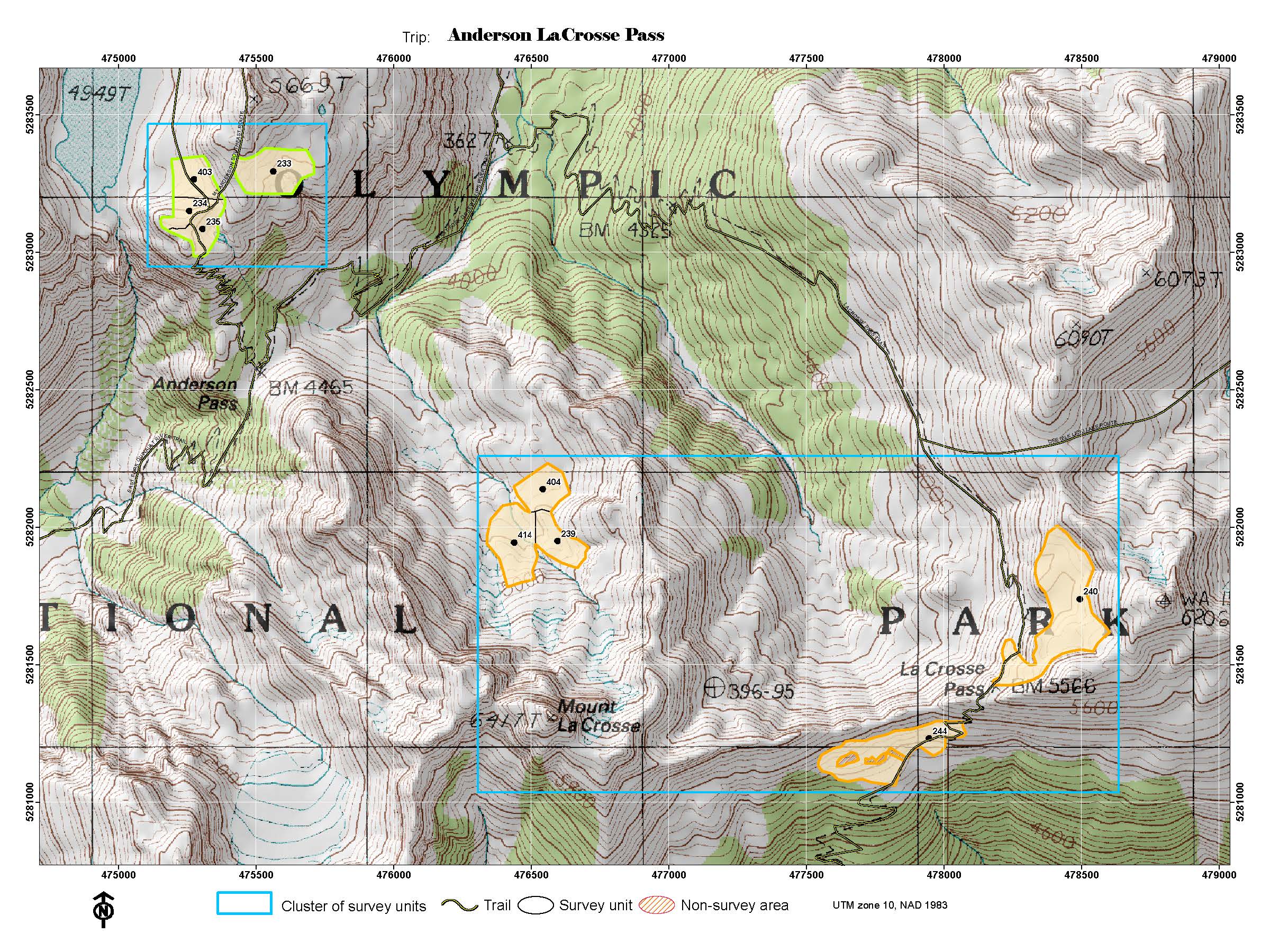
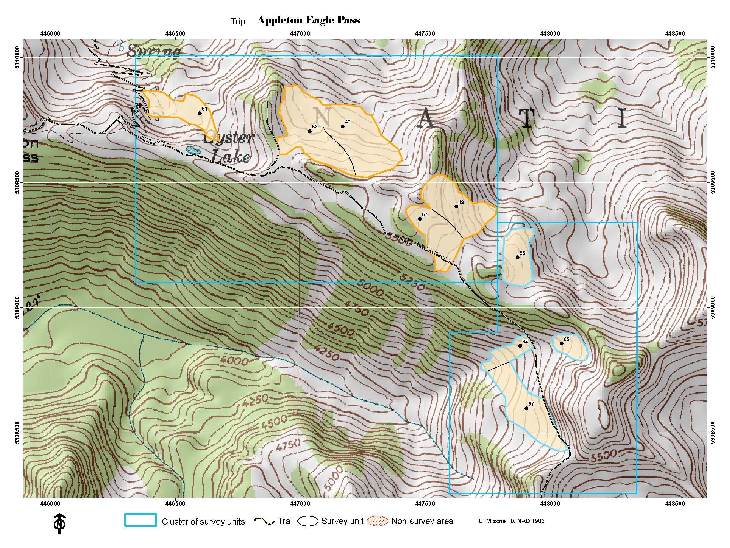
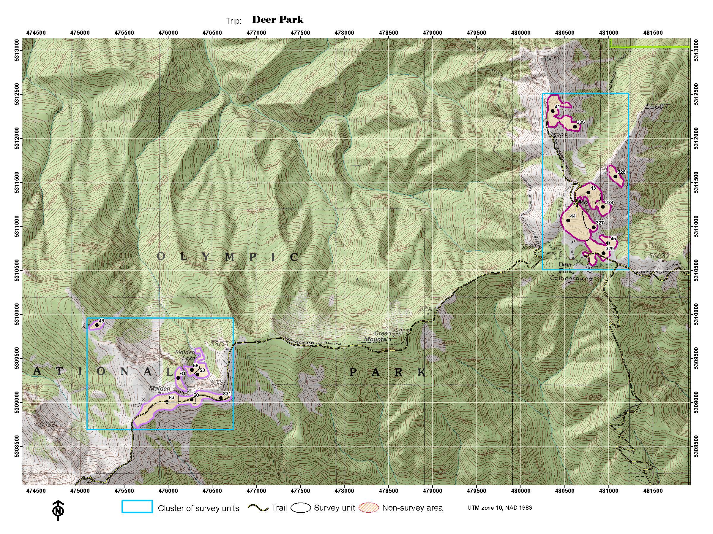
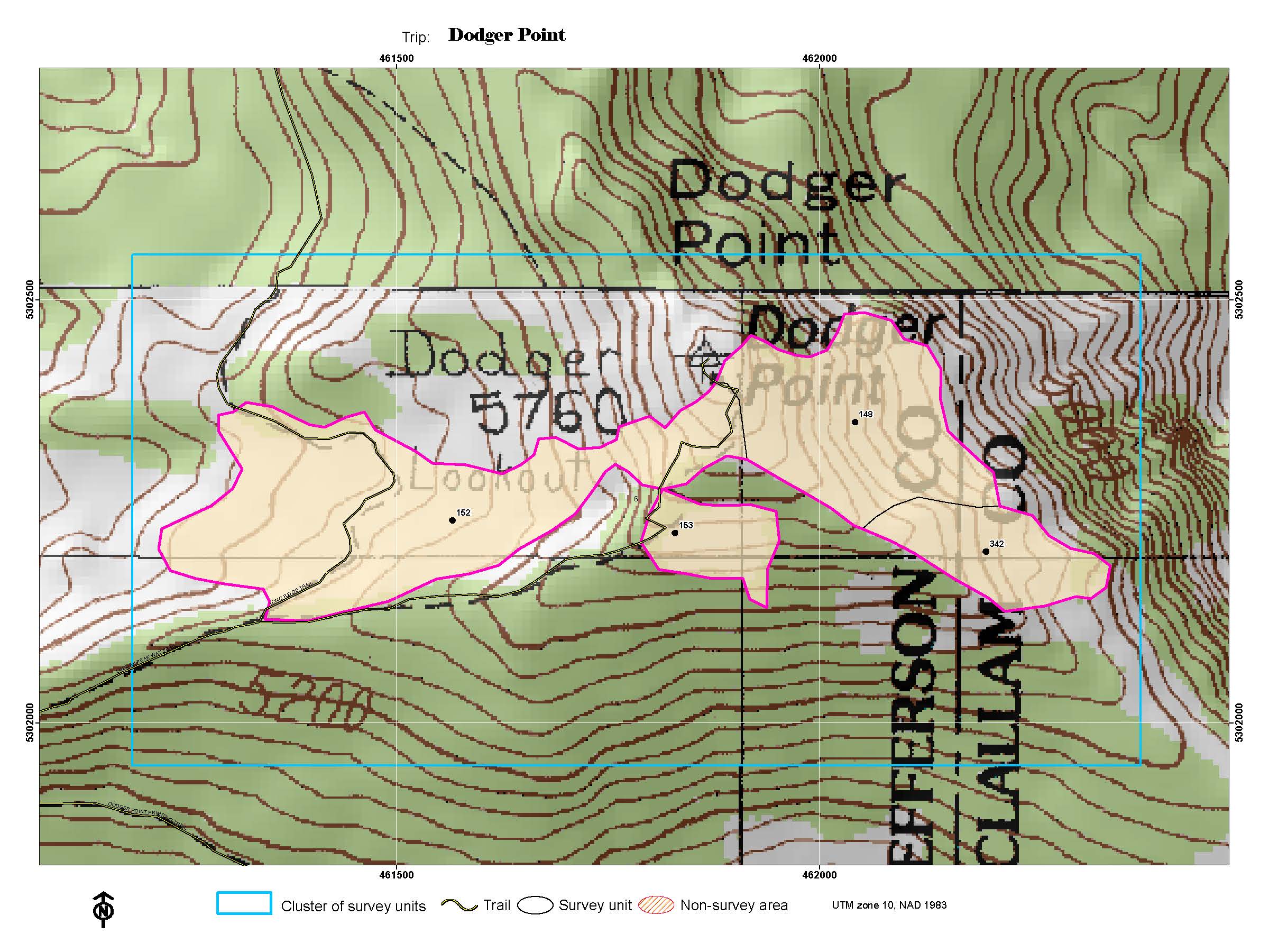
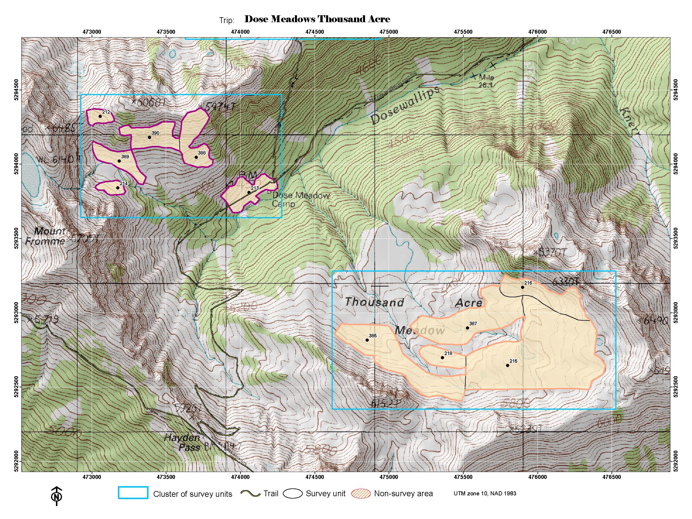
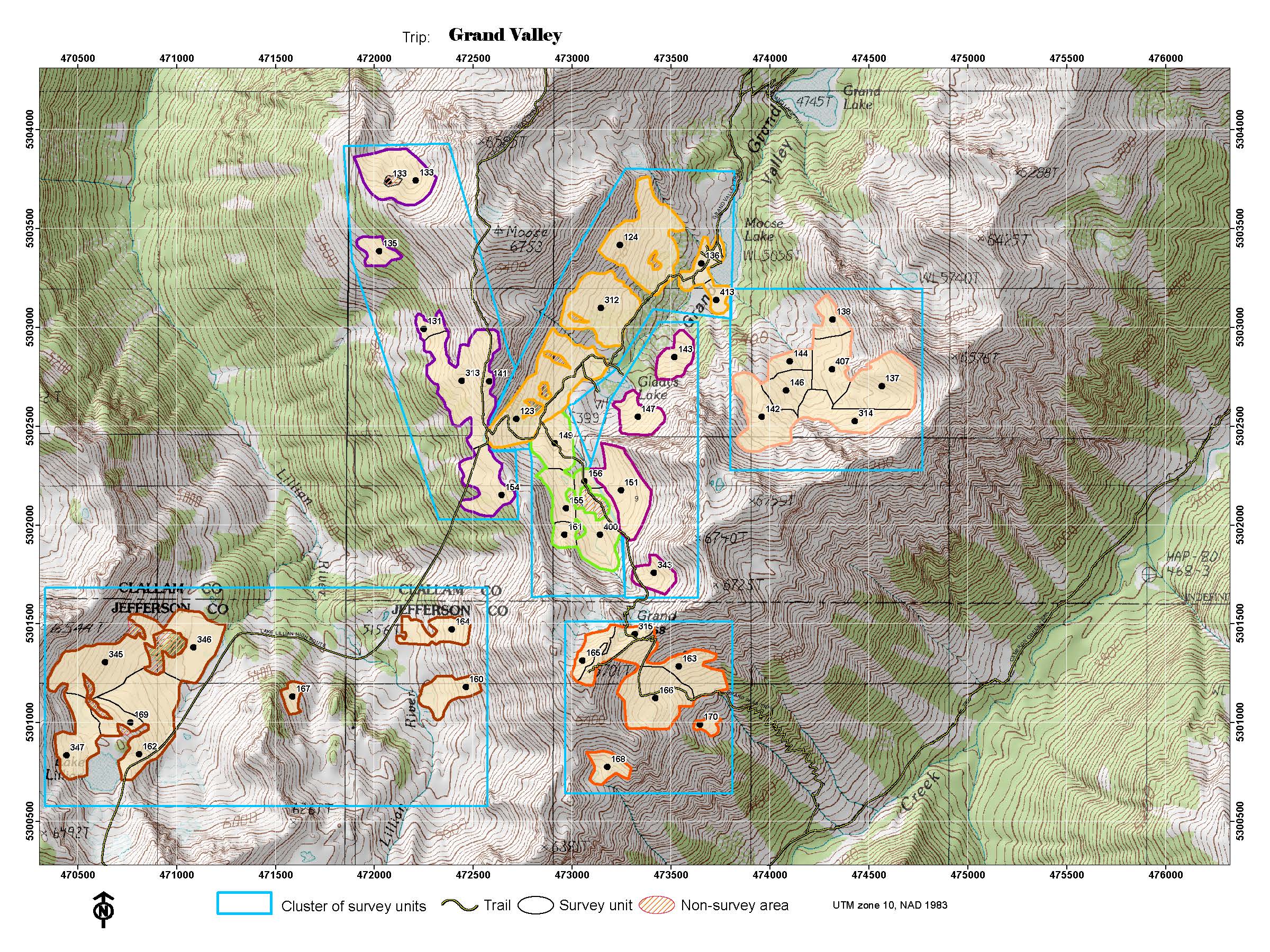
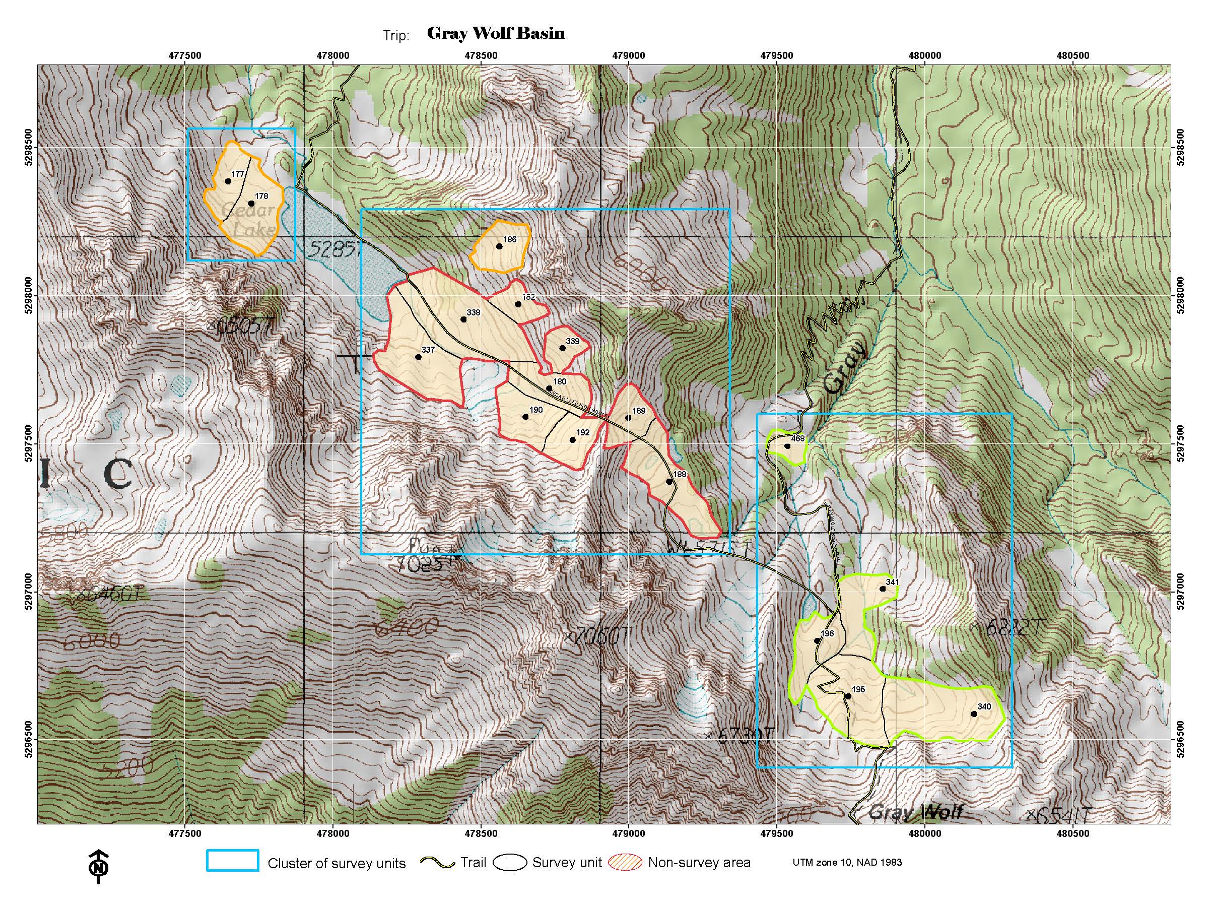
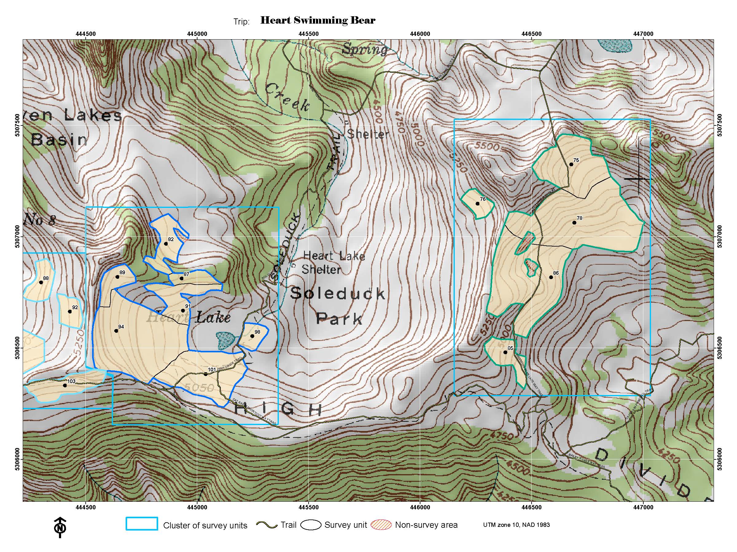
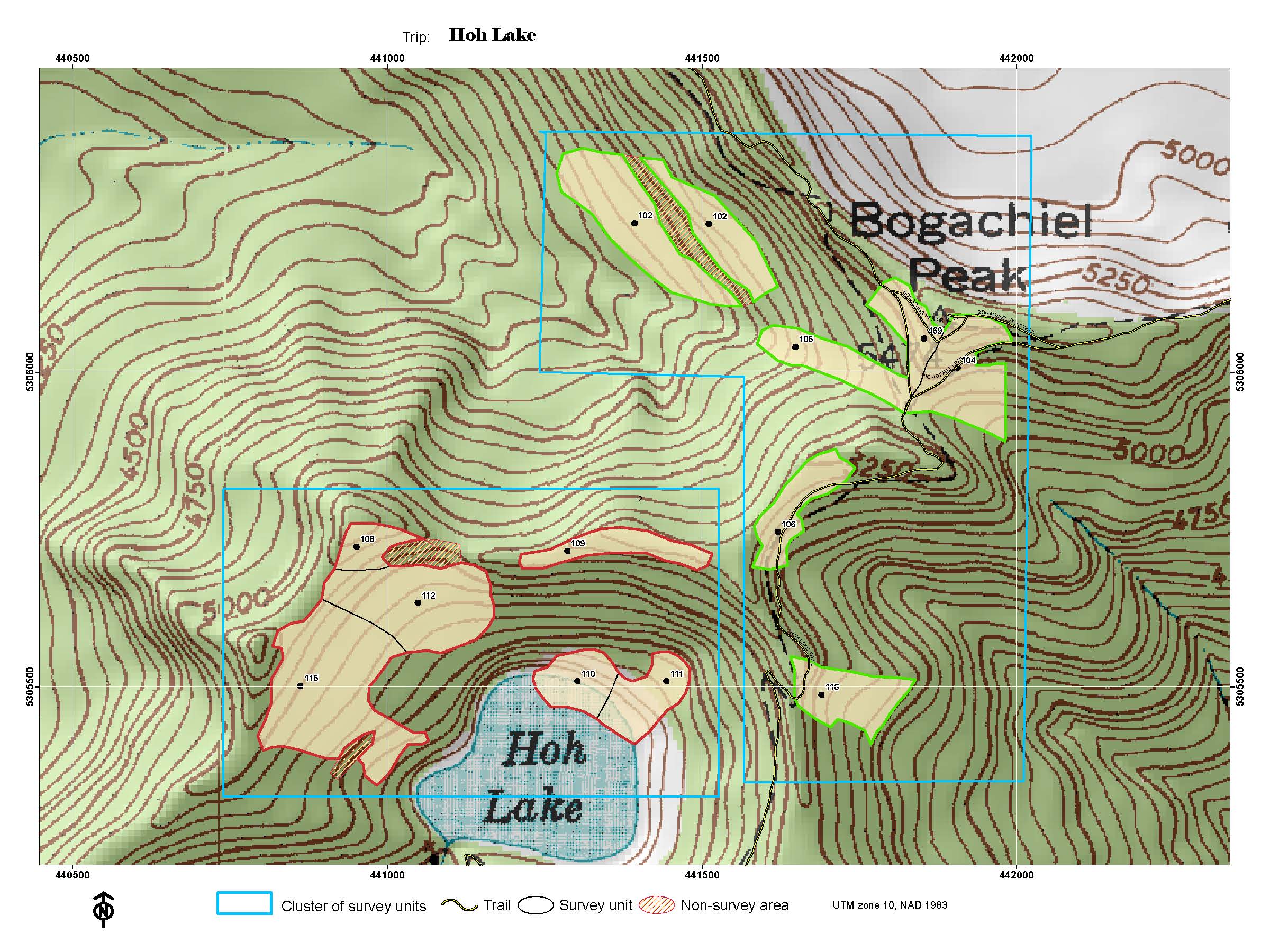
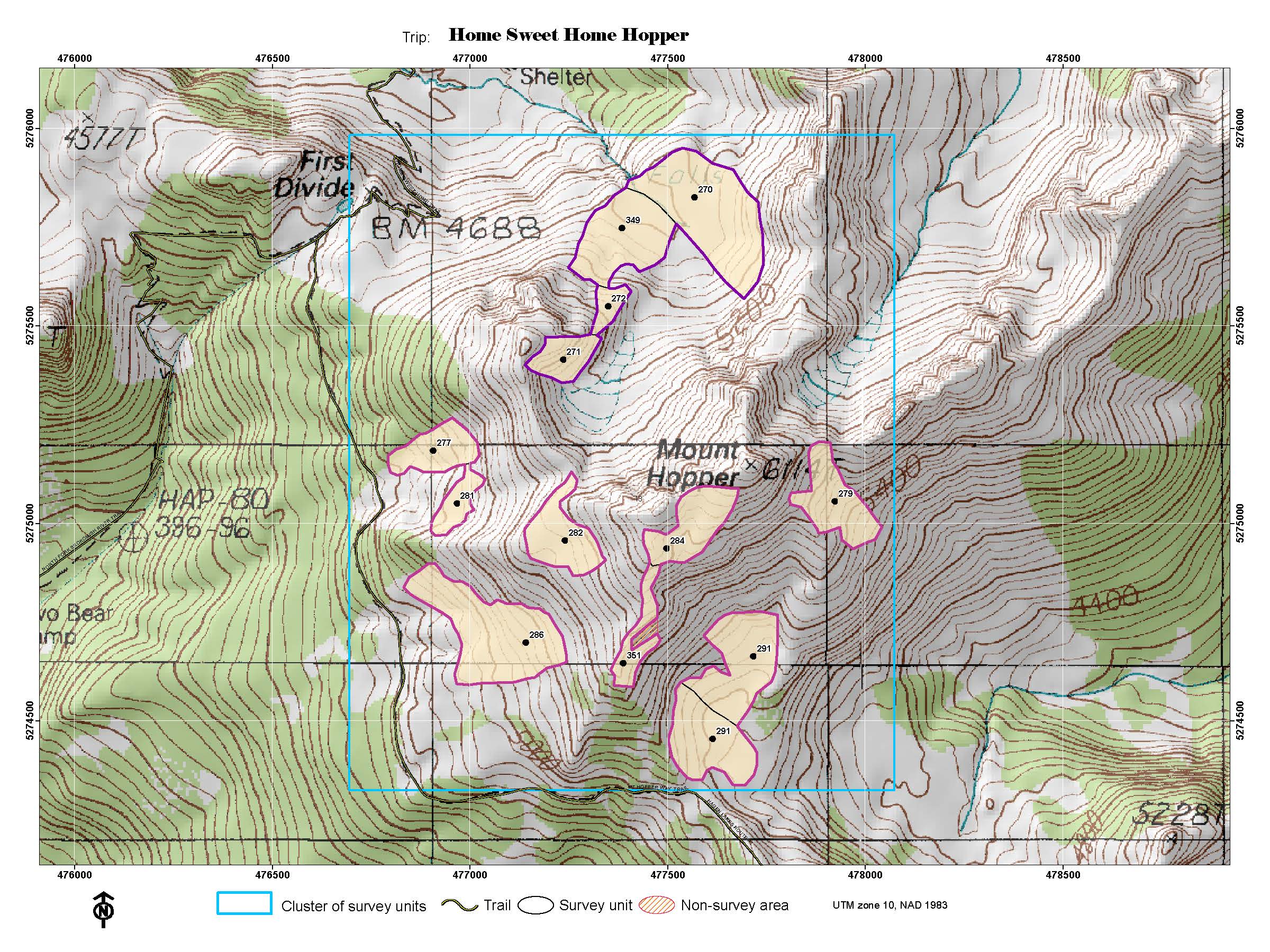
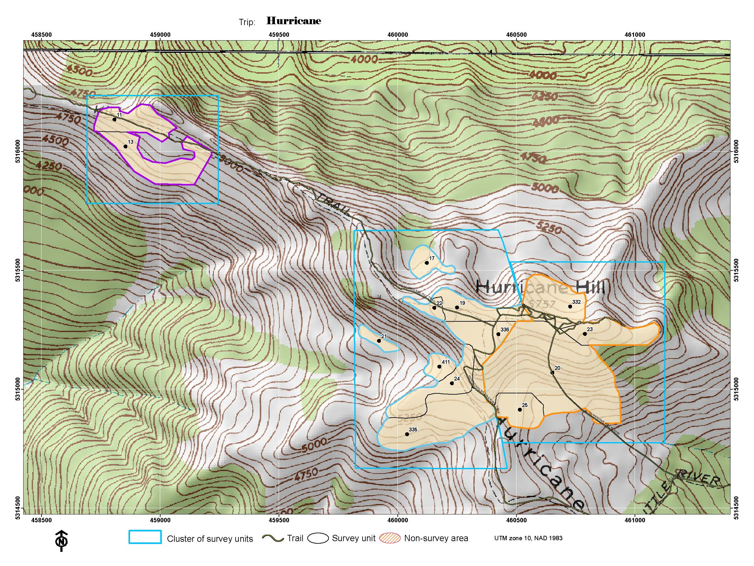
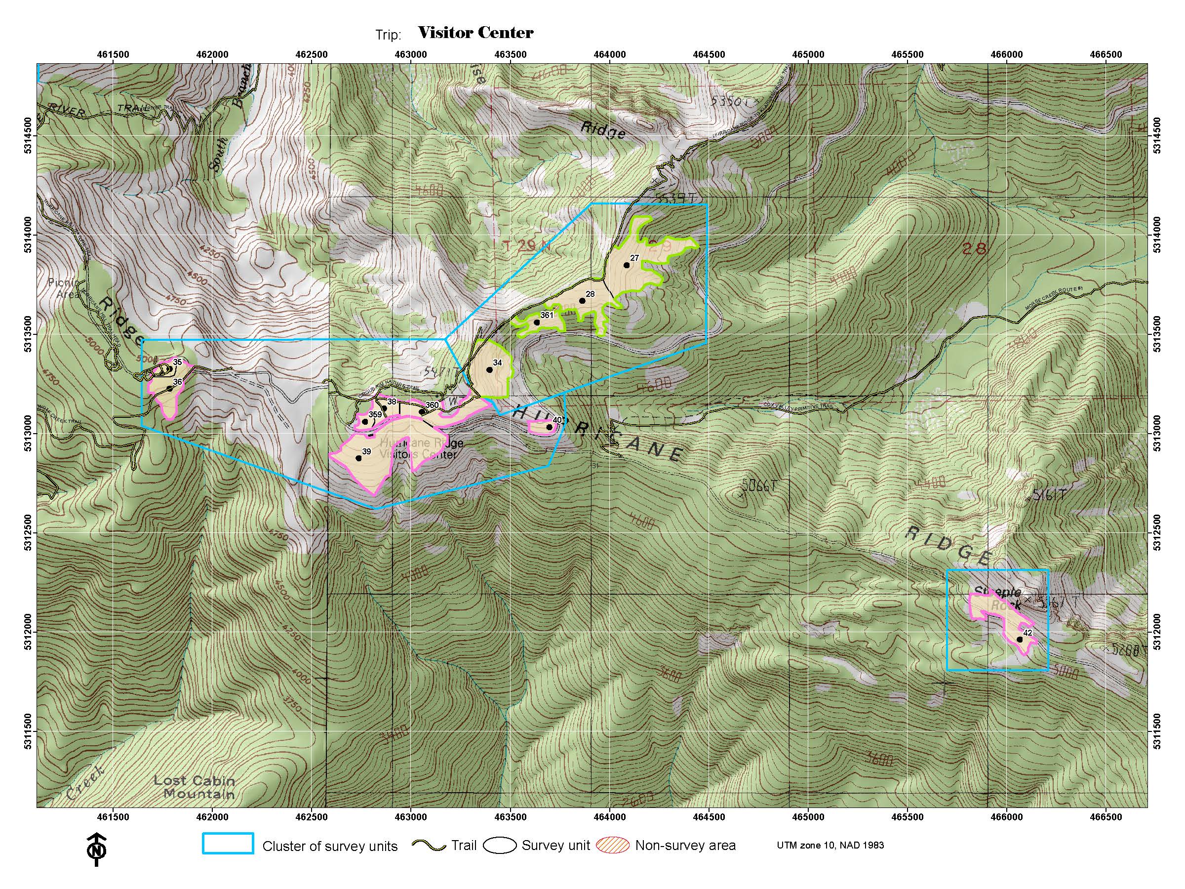
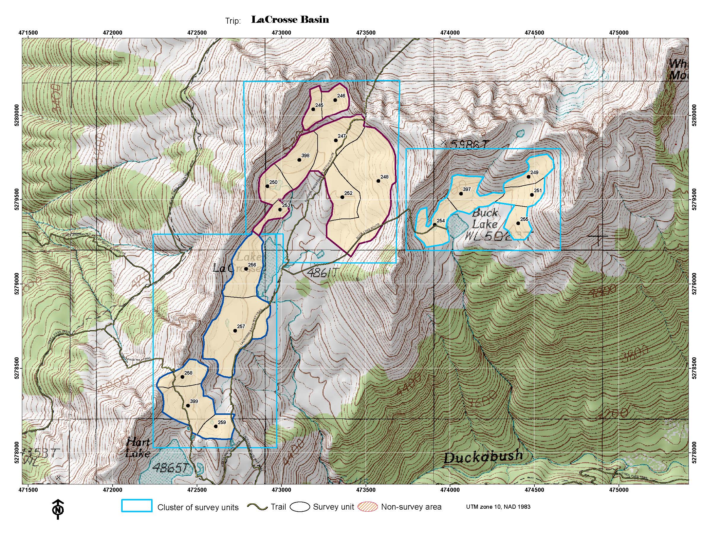
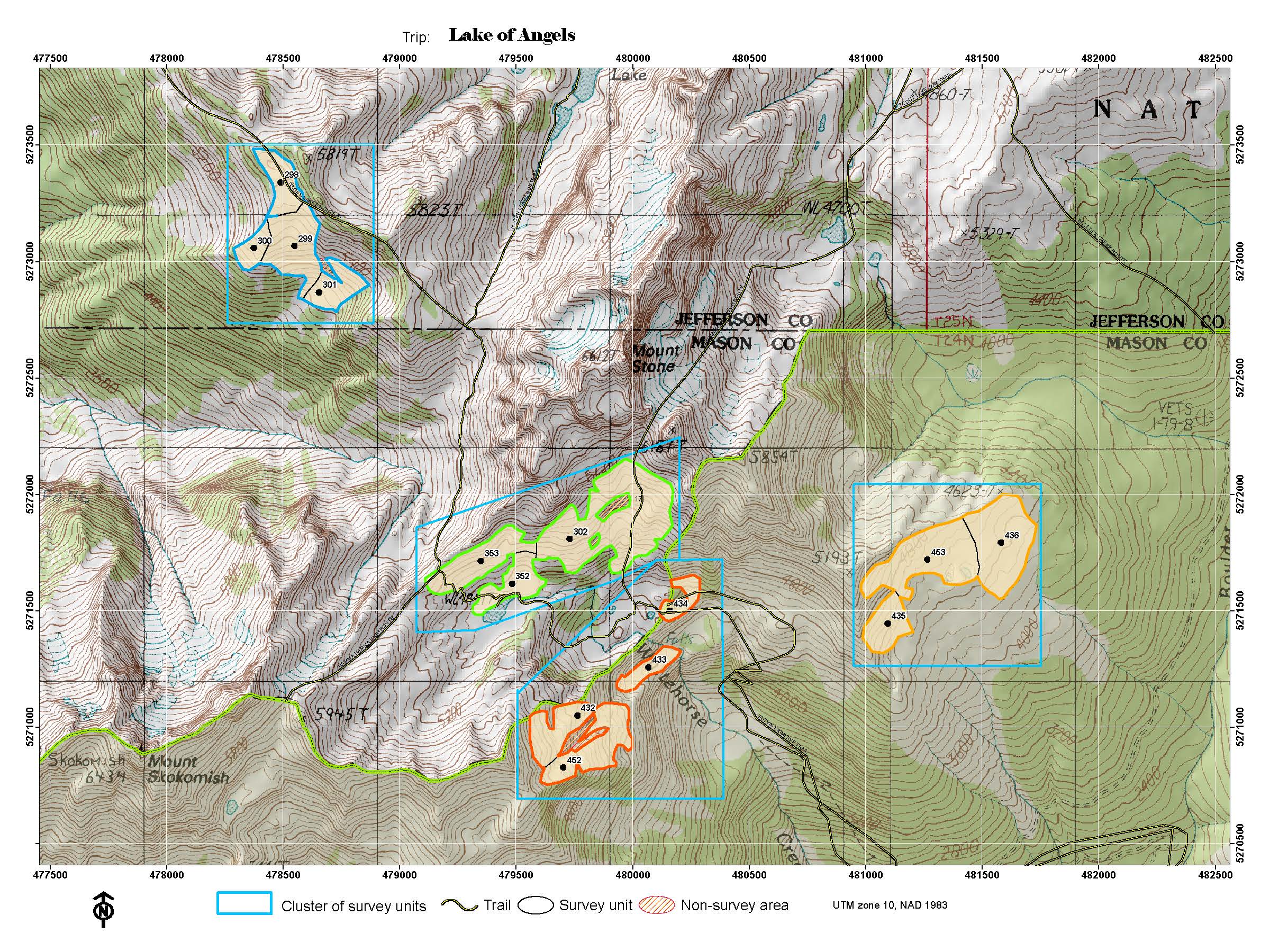
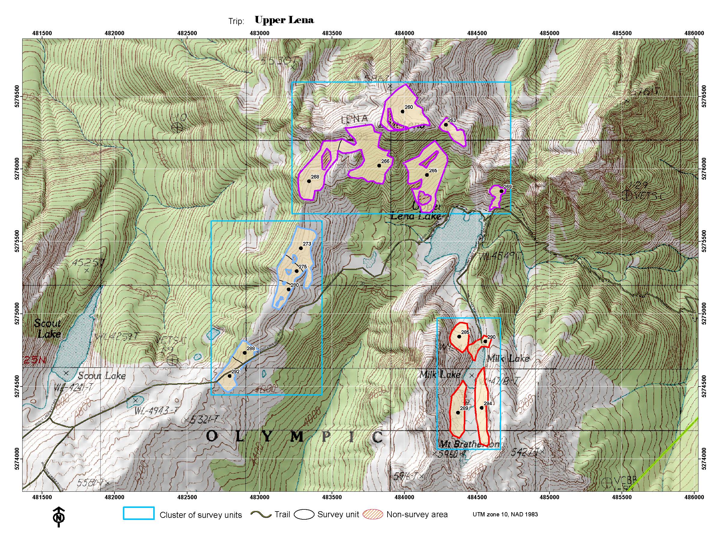
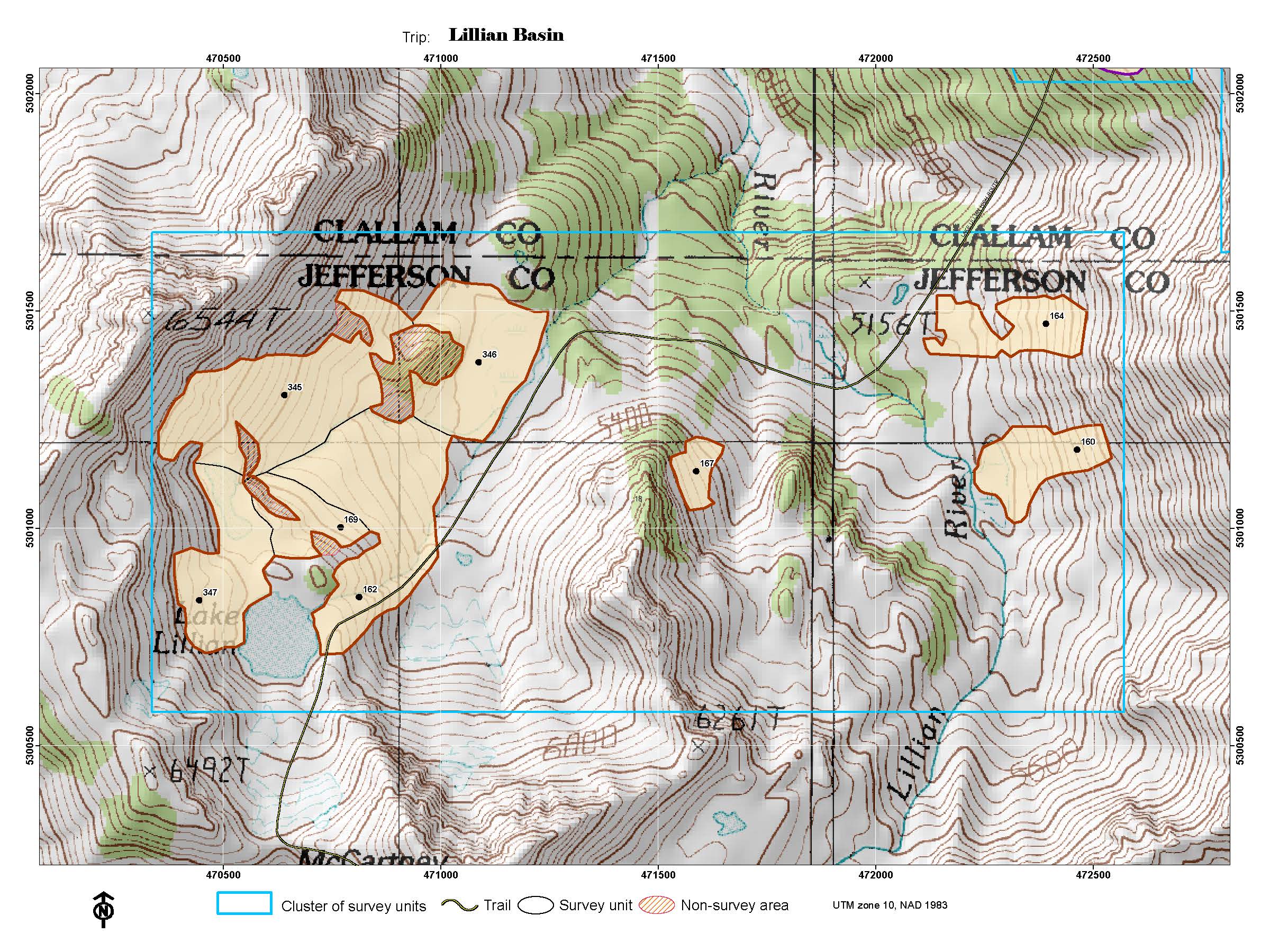
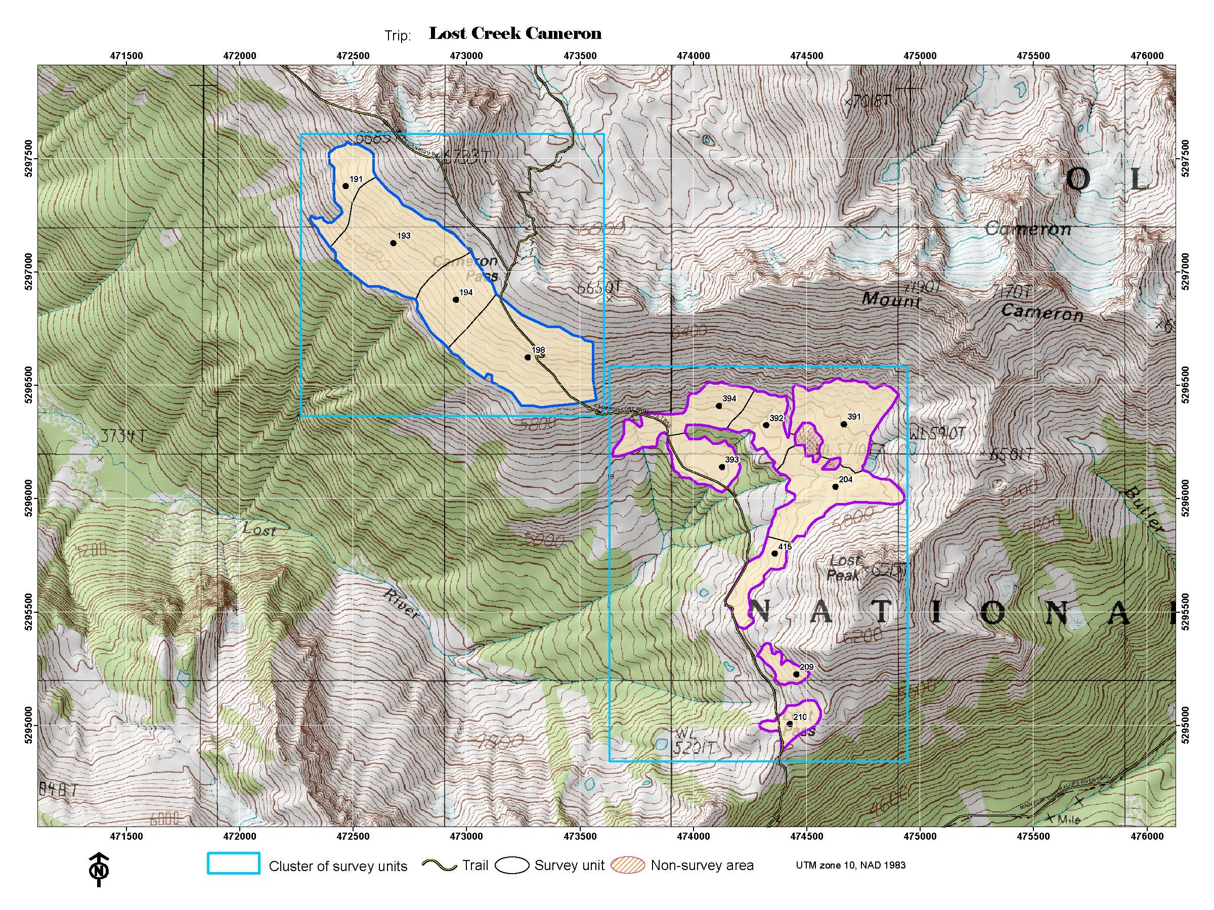
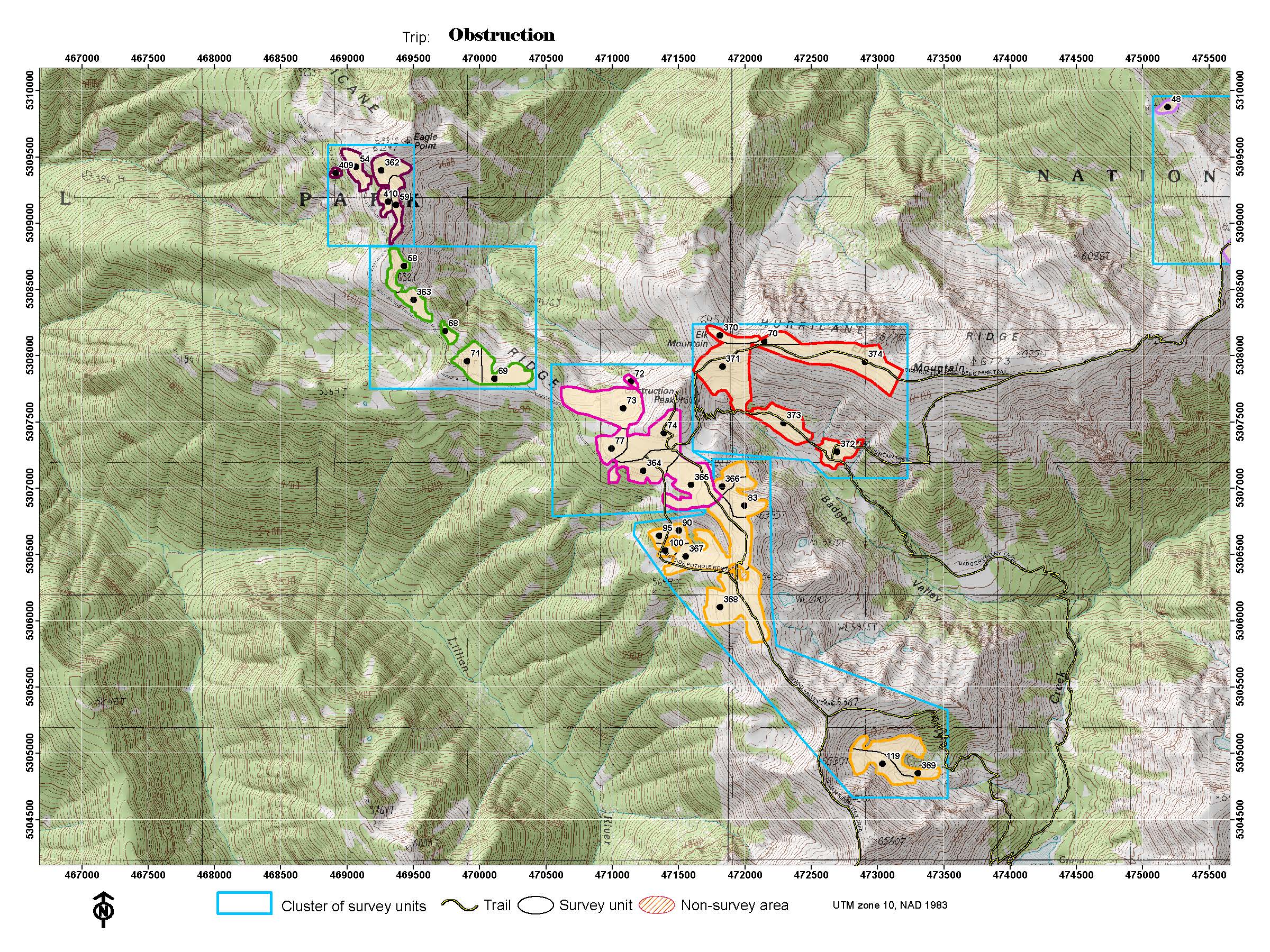
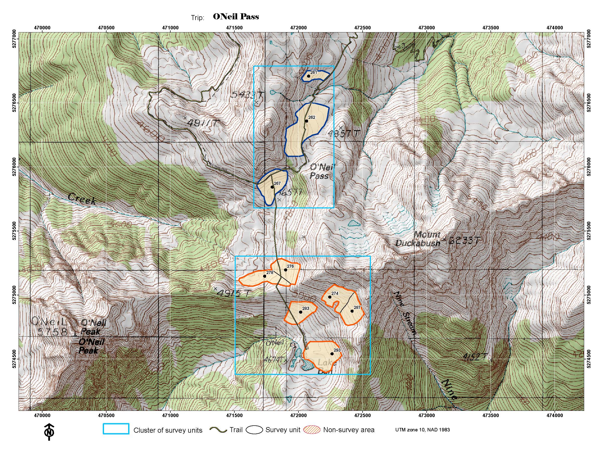
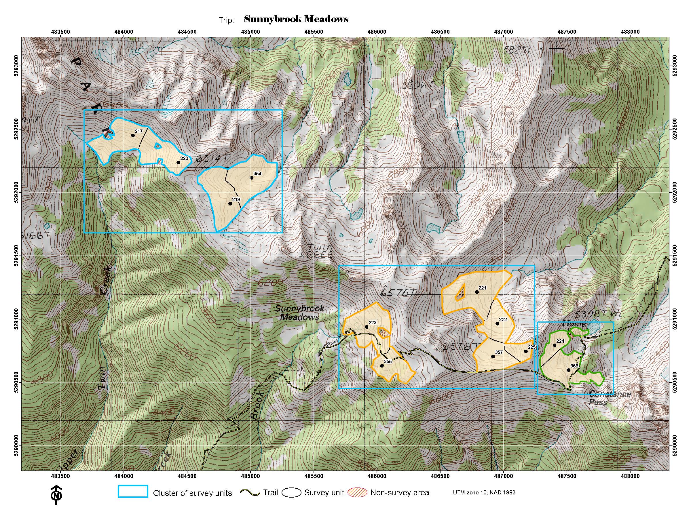
The following are embedded links to photo of topo maps for each of the survey areas, listed alphabetical by their Trip Name, to use if you are not able to use a KML: Anderson Pass / LaCrosse Pass; Appleton / Eagle Pass; Deer Park; Dodger Point; Dose/ 1000-Acre Meadows; Grand Valley1; Grand Valley2; Gray Wolf Basin; Hayes Ridge (2016 Fire); Heart / Swimming Bear; Hoh Lake; Home Sweet Home / Hopper; Hurricane Hill Area; Hurricane Ridge Visitor Center; Klahhane Ridge; LaCrosse Basin; Lake of the Angels; Lena Lake (Upper) Area; Lillian Basin; Lost Creek/ Cameron; Obstruction Area; O'Neil Pass; Royal Basin; Seven-Lakes Basin; Sunnybrook Meadows;
|
Last updated: January 9, 2026