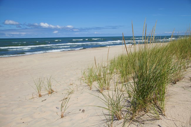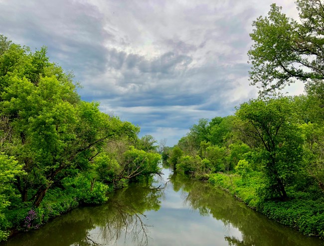
The park is comprised of over 15,000 acres of dunes, oak savannas, swamps, bogs, marshes, prairies, rivers, and forests. It contains 15 miles of Lake Michigan shoreline spanning the distance from Gary to Michigan City. Lake Michigan is part of the largest complex of freshwater lakes in the world. The national park's beaches are the park's most significant recreational resource. Immediately inland from the beaches, sand dunes rise to almost 200 feet in a series of ridges, blowouts, and valleys. Extensive wetlands fill many depressions between the dune ridges. The national park preserves an important remnant of a once vast and unique environment, resulting from the retreat of the last great continental glacier some 14,000 years ago. The park landscape represents at least four major successive stages of historic Lake Michigan shorelines, making it one of the most extensive geologic records of one of the world’s largest, fresh water bodies. The biological diversity within Indiana Dunes National Park is fourth among all of our national parks. Over 1,100 flowering plant species and ferns make their homes here. From predacious bog plants to native prairie grasses and from towering white pines to unusual beach species, the plant diversity is outstanding. The wildlife is also diverse. A wide variety of habitats coupled with the moderating effects of Lake Michigan make the region an ideal home for hundreds of animal species. The park is renowned for its bird life; more than 350 species have been observed here. Located on the southern tip of Lake Michigan, the national park is an especially important feeding and resting area for migrating land and water birds. 
As the mile-thick sheet of ice melted, it left Lake Michigan and the other Great Lakes behind. Glacial melting was a very slow process. As it occurred, there were many fluctuations and a general lowering of the resulting lake level. As many as seven successive shorelines were formed during this process, giving rise to beaches, sand dunes, and interdunal wetlands. Today, four major dune complexes can be easily seen. Beginning with the present shoreline and moving inland into progressively older dunes, they include the Tolleston dunes, the Calumet dunes and the Glenwood dunes. A stable oak forest characterizes the two older dune complexes. The younger dune/shoreline area is still active and all stages of plant succession can be observed there. Open beaches, grass covered dune ridges, blowouts, dunes with woody shrub vegetation, pine-forested dunes, oak-forested dunes, oak savannas, and prairies all come together to form the tapestry that is Indiana Dunes National Park. Lake Michigan still lies at the edge of this tapestry. Its wind, waves, lake currents, ice, and storms continually reshape the beaches, dune faces, and shoreline throughout the year. In summertime, gentler winds and smaller waves produce a wider, slightly sloping beach. The strong winds and high energy waves of winter create a narrower and steeper beach. Lake Michigan’s lake levels continue their natural fluctuation, and the shape of today’s beach continues to change, reminding us that the geologic story is really never-ending. |
Last updated: August 6, 2024
