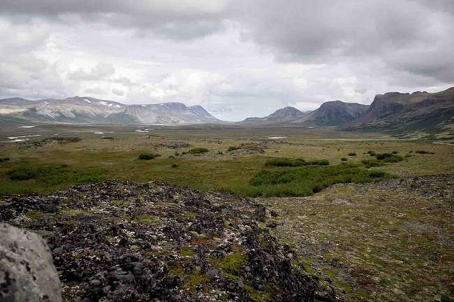
Land cover change examines biophysical patterns on the landscape (vegetation, water, ice, bare ground) and how they change through time. Monitoring objectives are to map and quantify long-term, landscape-level changes in the distribution and extent of major land cover classes using satellite imagery and aerial photographs. In the Southwest Alaska Network, these changes may include abrupt shifts in vegetation due to disturbance (fire, wind, landslides, or other agents of mortality); long- and short-term changes in primary productivity; changes in ice cover and surface hydrology (e.g., channel migration, pond formation or drying); and long-term changes in vegetation and other major cover types (e.g., treeline migration, shrub expansion).
For more information, see the landcover inventories. This vital sign is not currently active, but may be implemented in the future.
Contact: Michael Hannam
Last updated: June 18, 2018
