NPS / Maritte O'Gallagher
Air Quality
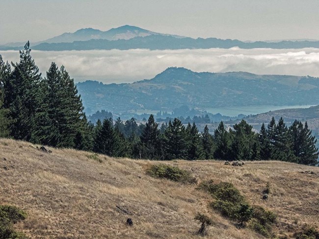
Air quality affects scenic and natural resources in parks, including surface water, visibility, vegetation, wildlife, and soils. One inventory focused on indicator pollutants regulated under the Clean Air Act. You can explore air quality information in parks, and also find information on Air Atlas web maps.
A second inventory, "Air Quality Related Values," gathered information on park resources that are sensitive to air quality, including vegetation, soils, water, and wildlife.
Source: NPS DataStore Saved Search 1802. To search for additional information, visit the NPS DataStore.

NPS / Al Greening
Base Cartography
This inventory focused on acquiring digital cartographic data to use for maps and analyses and was performed on a national scale. While the initial phases of this inventory acquired and stored the digital spatial data files, this need has been replaced by the advent of online access to legacy and current data sets, many provided by the U.S. Geological Survey and the U.S. Department of Agriculture. The National Park Service also has a data clearinghouse for mapping information and geospatial resources related to parks.
No products specific to the San Francisco Bay Area Network were generated as part of this inventory effort.
Climate
Information on climate stations and associated station data was collected for parks within the 32 Inventory & Monitoring networks in 2006 and 2007. Since these reports were published, organizations such as ACIS (the Applied Climate Information System) have taken the lead in aggregating and disseminating climate-related data and are a source for up-to-date information.
Additional climate resources specific for the Bay Area can be found via San Francisco Bay Area Climate Summaries.
Source: NPS DataStore Saved Search 1801. To search for additional information, visit the NPS DataStore.
Geologic Resources
Understanding the relationships between the physical (geology, air, and water) and biological (plants and animals) components of parks is vital to managing and protecting natural resources. This inventory provided information on geologic processes and features within parks. Learn more about the Geologic Resources Inventory.
The San Francisco Bay Area Network's Geologic Resources Division is conducting ongoing work on inventory projects at John Muir National Historic Site, Pinnacles National Park, and Point Reyes National Seashore.
Source: NPS DataStore Saved Search 1820. To search for additional information, visit the NPS DataStore.
Source: NPS DataStore Saved Search 1803. To search for additional information, visit the NPS DataStore.
Soil Resources
Soil properties influence natural landscapes and ecosystems, and also areas in parks such as campgrounds, trails, roads, and visitor centers. Information on soils is needed by park managers, planners, engineers, and scientists in order to protect water quality, wetlands, vegetation communities, and wildlife habitats. The information also helps with the control of exotic species, and with the management of high-use or developed areas in the park.
The soil resources inventory focused on gathering and mapping information about the physical, chemical, and biological properties of soils in parks using standard terminology and techniques of the National Cooperative Soil Survey (NCSS).
No products specific to the San Francisco Bay Area Network were generated as part of this inventory effort. However, detailed soils data is accessible via the Web Soil Survey web portal, which allows users to dynamically generate soil reports and maps for areas of interest in the US, including the Bay Area.

NPS / Mason Cummings
Water Resources
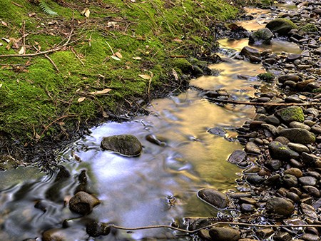
As part of taking inventory of park water resources, the I&M Program and the NPS Water Resources Division (WRD) partnered with the U.S. Geological Survey, states, and other agencies to create the National Hydrography Dataset. This dataset includes information on surface waters such as watersheds, glaciers, streams, rivers, canals, reservoirs, and more.Knowing the quality of water resources in parks was also a basic inventory. The primary sources used for this information were national water quality databases, such as the Environmental Protection Agency's STORET data system and the U.S. Geological Survey's National Water Information System.
Water quality is also part of an ongoing long-term monitoring program in the San Francisco Bay Area Network.
Source: NPS DataStore Saved Search 1818. To search for additional information, visit the NPS DataStore.
Last updated: November 1, 2018
