NPS-Photo
The geothermal aquifer of the park is thought to be approximately 12 to 15 square miles in extent, although the precise boundary is unknown. The hot springs are geothermally heated to 61 degrees Celsius at a depth of several thousand feet. The water then rises through faults in the sandstone formation, mixes with less than 20-year-old ground water, and emerges from the thermal springs. Through radiocarbon dating, this process has been determined to take over 4,000 years.
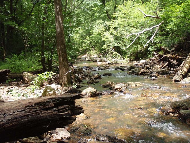
Dense forest covers much of the park. Typical overstory species include shortleaf pine, Spanish oak (Quercus falcata), red oak, black oak, white oak, and hickories. North slopes are dominated by mesic hardwood forests, while shortleaf pine, oaks, and hickories occupy dry south-facing slopes. Nutrient rich bottomland forests in the valleys support a mixture of hardwood species including sweetgum, sycamore, American beech, American hornbeam (Carpinus caroliniana), and white oak, while less fertile bottomland sites support loblolly and shortleaf pines.
Source: NPS DataStore Saved Search 3507 (results presented are a subset). To search for additional information, visit the NPS DataStore.
Source: NPS DataStore Collection 4260 (results presented are a subset). To search for additional information, visit the NPS DataStore.
Check out the links below for other interesting science information about your park:
Air Quality in Parks
Learn about the air quality at your park and how it has changed over time.
NPS Geodiversity Atlas
An interactive map to explore the full variety of natural geologic (rocks, minerals, sediments, fossils, landforms, and physical processes) and soil resources and processes that occur in your park.
NPSpecies
Find out what plants and animals are present in your park or other parks.
Last updated: October 15, 2018
