NPS
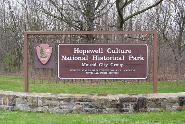
The five units of Hopewell Culture National Historical Park are located within the Appalachian Plateau topographic province on floodplains and Wisconsin age terraces consisting predominantly of sandstone and shale. The park is located in the Scioto River watershed, and all five units are adjacent to or very near segments of the Scioto River and its tributaries. All five park sites are situated along rivers or creeks in a forest and grassland riparian landscape.
Source: NPS DataStore Saved Search 3507 (results presented are a subset). To search for additional information, visit the NPS DataStore.
Source: NPS DataStore Collection 4260 (results presented are a subset). To search for additional information, visit the NPS DataStore.
Check out the links below for other interesting science information about your park:
Air Quality in Parks
Learn about the air quality at your park and how it has changed over time.
NPS Geodiversity Atlas
An interactive map to explore the full variety of natural geologic (rocks, minerals, sediments, fossils, landforms, and physical processes) and soil resources and processes that occur in your park.
NPSpecies
Find out what plants and animals are present in your park or other parks.
Last updated: October 15, 2018
