NPS Photo
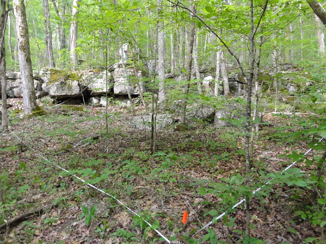
Preserving forest vegetation communities is a priority for parks within the Cumberland Piedmont Network. Monitoring by the network will help park managers determine forest condition, including detection of invasive exotic plants species and forest pests. Smaller parks will have a total of 20 monitoring plots, and the larger parks will have 24-60 plots. In general, data will be taken on eight plots per park per year, then revisited five years later. The standard plot size is 40 x 40 meters (approximately 0.4 acres) to allow for the 40-meter coarse woody debris transects. However, most plant or tree measurements are taken in the 20 x 20 meter (center) of plot. The size may be adjusted due to site restrictions, such as road, river, or other barrier.
The information gathered at each plot includes: plant species list (including exotics), height, cover, tree diameter breast height (DBH), tree vigor, tree damage (e.g., forest pests), canopy closure, coarse woody debris, vegetation class, photographs, and plot disturbance.
All this information can be utilized by park managers to decide what types of activities are appropriate in areas that may be susceptible to disturbance, such as rock climbing, hiking trails, and horseback riding.
For more information, contact Bill Moore, Ecologist for the Cumberland Piedmont Network, at (270) 758-2161 or via email.
Last updated: August 3, 2018
