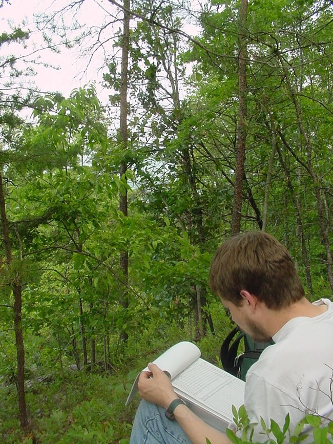
NPS Photo
Cumberland Gap is a natural pass located where the borders of Kentucky, Tennessee, and Virginia meet. It has been used as a transportation corridor since prehistoric times. Migratory large game created a path through the gap long before people arrived. The Gap later became a Native American route to hunting grounds in Kentucky; however, it is best known for its importance in opening the interior of our nation to settlement by early colonists. Cumberland Gap National Historical Park is a diverse park of 22,376 acres which encompasses much of the east-west oriented Cumberland Mountain, with many caves, streams, bogs, rock outcrops, and cliffs. Much of the park is covered by second-growth forests of mixed deciduous and oak-hickory species.
The Cumberland Piedmont Network I&M program has provided this park with a vegetation community classification and map, and updated vascular plant and vertebrate species lists. During the vegetation community classification work, over 30 distinct associations were documented and mapped, including two globally rare communities: a dry calcareous forest/woodland and Cumberland streamside bog.
The network monitoring program at this park includes six vital signs involving repeated visits to established sites following procedures set forth by each monitoring protocol: cave aquatic biota, cave bats, forest vegetation communities, invasive species early detection, ozone/foliar injury, and water quality. Water quality monitoring began in 2007 and continues on a monthly schedule for two years "on," five years "off," at ten sites. Forest monitoring began in 2011–2012 with the establishment of 16 long-term monitoring plots. Additional plots will be established in upcoming years, followed by a five-year revisit schedule, occurring in mid-August. This park has a portable ozone monitor on loan from Air Resources Division, and foliar injury is assessed on-site every six years, beginning in 2008. The Invasive Species Early Detection protocol was completed in 2012 and will be used by field crews to monitor for priority exotics during their scheduled field work. Cave bat monitoring began in 2016 and continues annually for summer counts and every other year for winter counts. The cave aquatic biota monitoring protocol was completed in 2018.
Park managers are using inventory and monitoring data to create resource stewardship strategies for achieving desired future conditions. The links to inventory and monitoring reports are provided on this page.
For more Information contact:
Steve Thomas, Network Program Manager, CUPN offices at Mammoth Cave NP
Select a Park:
Select a Species Category (optional):
Visit NPSpecies for more comprehensive information and advanced search capability. Have a suggestion or comment on this list? Let us know.
Last updated: January 12, 2021
