NPS Photo
Cumberlandian cobble bars, also called "river scour prairies," are unique plant communities found in the Cumberland Plateau of Tennessee and Kentucky. Ranked as Globally Imperilled (G2) by The Nature Conservancy, and vulnerable to extinction throughout their range, they exist on open, flood-washed areas of bedrock, cobble or gravel along large rivers. Typically thick with grasses and flowering herbs, these river scour prairies share many characteristics with the tallgrass prairies of the American Midwest. Where fire is the driving force sustaining midwestern prairies, water is the ecological driver in the bottoms of the deep river gorges of the Cumberland Plateau. Raging floods wash over these habitats on multiple occasions each year, scouring out species that are not adapted to disturbance, including most trees and other woody species. Grasses, herbs, and some low shrubs thrive under these punishing conditions. Several extremely rare plants, including some that grow nowhere else in the world, flourish in these unique riparian prairies. Among these are two federally-listed species, Cumberland rosemary (Conradina verticillata) and Virginia spiraea (Spiraea virginiana), as well as several dozen other globally- or regionally-rare plants.
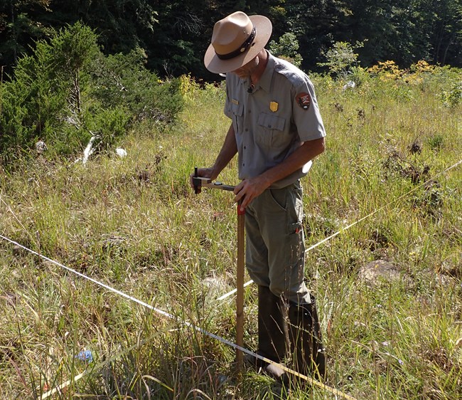
Monitoring focuses on determining if these cobble bar communities are being negatively influenced by changes in natural flood cycles or a decrease in water quality. If normal flood cycles are disrupted by upstream impoundments or water withdrawal, these open, grassy communities could vanish, replaced by woody species—including non-natives—that would not ordinarily be able to survive here. Specifically, the network monitors long-term trends in community structure, presences of rare threatened and endangered species; cobble bar composition (e.g. sand, gravel, cobble, boulder, coal sediement); and the presence of invasive or exotic species.
Parks where monitoring is conducted include Big South Fork National River and Recreation Area (BISO); and Obed Wild and Scenic River (OBRI). Information gathered from this monitoring, in conjunction with water-quality monitoring, will provide park managers with a baseline against which to assess future changes in this imperiled community and its inhabitants.
Last updated: April 30, 2018
