|
When the ice dams broke, huge walls of water raced to the Pacific Ocean, cutting new canyons and depositing sediments. The impact of these floods covers 16,000 square miles thousands (41,440 km2) in the Pacific Northwest. This large area iniclude parts of Montana, Idaho, Washington and Oregon. Today the efforts of many public and private groups support better understanding and appriciation for the unique Ice Age Floods features. One can visit parks, natural sites and museums to learn more and explore. Many features are so large that they can be seen while driving by or stopping at an overlook. Expore 'places' with connections to the Ice Age Floods by state below.
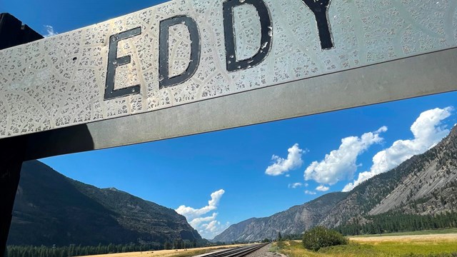
Visit Montana
Glacial Lake Missoula 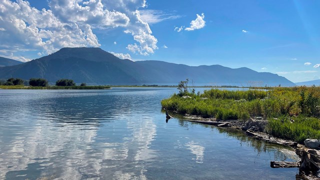
Visit Idaho
Idaho the Breakout Zone 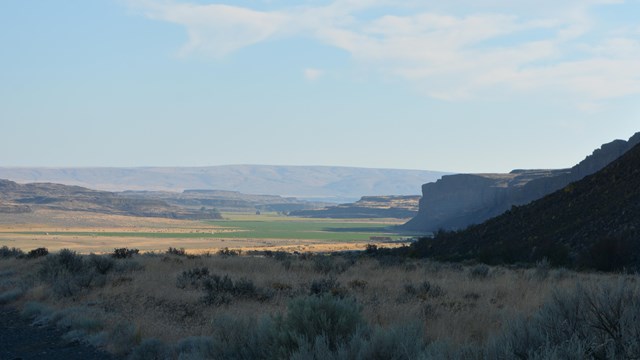
Visit Washington
Channeled Scablands 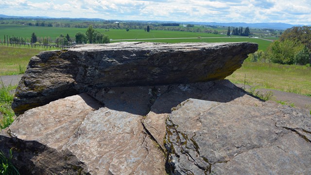
Visit Oregon
Willamette Valley and Columbia River |
Last updated: February 17, 2023