NPS Photo
Climate Clues in the Ice
Scroll to learn moreA warming climate is bringing dramatic change to Kenai Fjords. Snowfall is increasingly becoming rainfall. The Harding Icefield is thinning and losing elevation. Glaciers are melting, many receding at unprecedented rates. Habitats are shifting location. As fossil fuels continue to trap heat in our atmosphere, what other effects will we see? How will our experience of the park change? Park scientists are studying the ice to find out.
(NPS Photo)
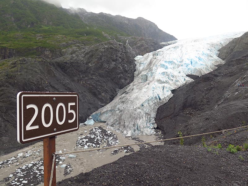
Photo was taken in 2016. (NPS Photo)
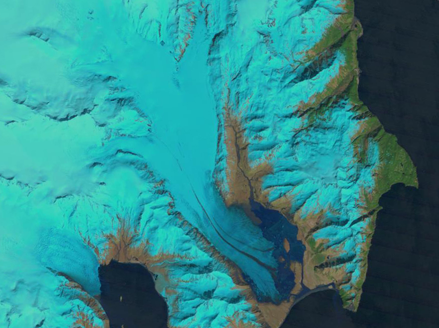
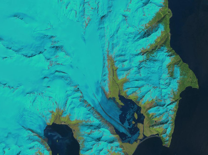
Bear Glacier
Slide to see how Bear Glacier’s terminus, or end point, has receded over the planet’s recent warming trend. (U.S. Geological Survey)
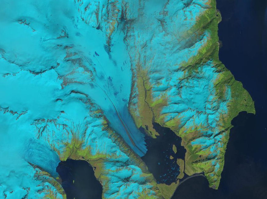
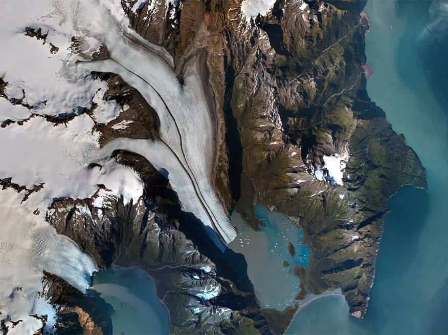
1989
2001
2013
2016
Tracking Tools
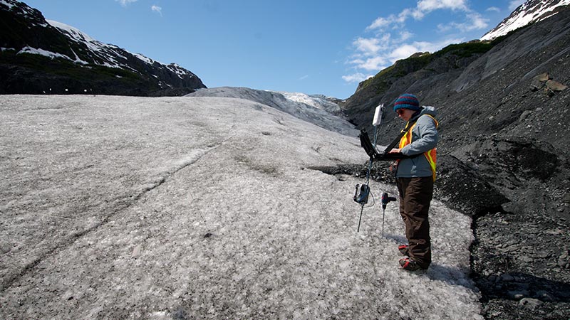
Park scientists monitor the impacts of climate change. Exit Glacier’s terminus is mapped each fall. Scientists measure annual winter snow accumulation on the ice field, comparing it with how much melts each spring. Time-lapse photography documents short-term change in the park, while comparisons of past and present photographs reveal long-term change. These tools uncover trends in ice and vegetation coverage, helping us understand the local effects of a warming climate and how to protect the park in the future.