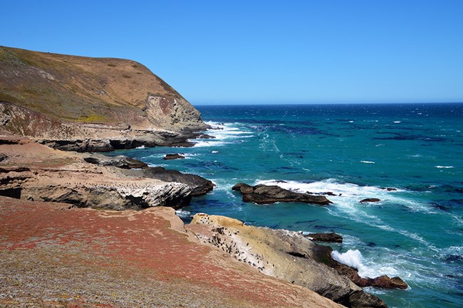
NPS/Reuven Bank Over large-scale periods of time, the planet has gone through many natural warming and cooling phases1. These natural fluctuations in climate, occurring over thousands to millions of years, have driven the rise and fall of sea levels around the Channel Islands, increasing and decreasing the amount of exposed island area. In fact, sea levels were so low during the last ice age that the four northern Channel Islands were exposed as one “superisland” called Santarosae. 
NPS/Reuven Bank Due to the threat of sea level rise and erosion to the islands’ Native American cultural resources, the park is prioritizing inventory and documentation for vulnerable archeological sites. Channel Islands’ tribal partners are the deep-time caretakers of these places and are working collaboratively with the park to ensure climate-based adaptations and mitigations incorporate traditional ecological knowledge as well as agency and tribal perspectives and goals. 
Other historic-era cultural resources are also subject to damaging effects of climate change. Changes in vegetation patterns disrupt cultural landscapes, contribute to loss of iconic species (such as Monterey Cypress), cause accelerated deterioration of historic buildings, and render burnable resources more vulnerable to changed fire regimes. The park is incorporating new management strategies such as incorporating compatible, drought-tolerant replacement species, prioritizing fuels reduction adjacent to burnable features, and altering features that interrupt critical natural processes. 
Tim Hauf, timhaufphotography.com Rising sea levels will also influence the Channel Islands’ intertidal ecosystems, although the effect will be variable and specific to each site. Covered and uncovered twice each day by tides, the park’s rocky intertidal is home to an abundance and diversity of marine life, unparalleled by even the most unspoiled, remote shorelines along California’s mainland. Sea creatures arrange themselves vertically3 in the intertidal zone depending on their abilities to compete for space, avoid predators from above and below, resist drying out, and endure submergence. As sea levels rise, we expect intertidal communities to shift up the shoreline, with organisms lower along the intertidal gradient moving higher. In areas bordered by sea cliffs, a ‘crunch’ may occur where organisms run out of shoreline in which to shift, potentially reducing the abundance and diversity of those intertidal communities. However, increased erosion due to climate change may increase the amount of suitable habitat for rocky intertidal communities in other island locations, potentially allowing those communities to expand. Biologists are actively monitoring the effects of climate changes on intertidal communities to learn more about how the intertidal will respond to these forces. 
NPS/Reuven Bank Rising sea levels will also impact seabirds who use sea caves as nesting sites. Sea level rise may decrease nesting habitat, forcing cave-nesting seabirds to build nests higher up the islands. As our climate warms, seabirds whose historical ranges were south of the park are starting to be seen at the Channel Islands, which may lead to nesting territory competition. Rising sea levels may also undermine some rare plants, like sea-cliff bedstraw (Galium buxifolium), an island endemic that often clings to steep coastal bluffs.
|
Last updated: July 25, 2024
